-

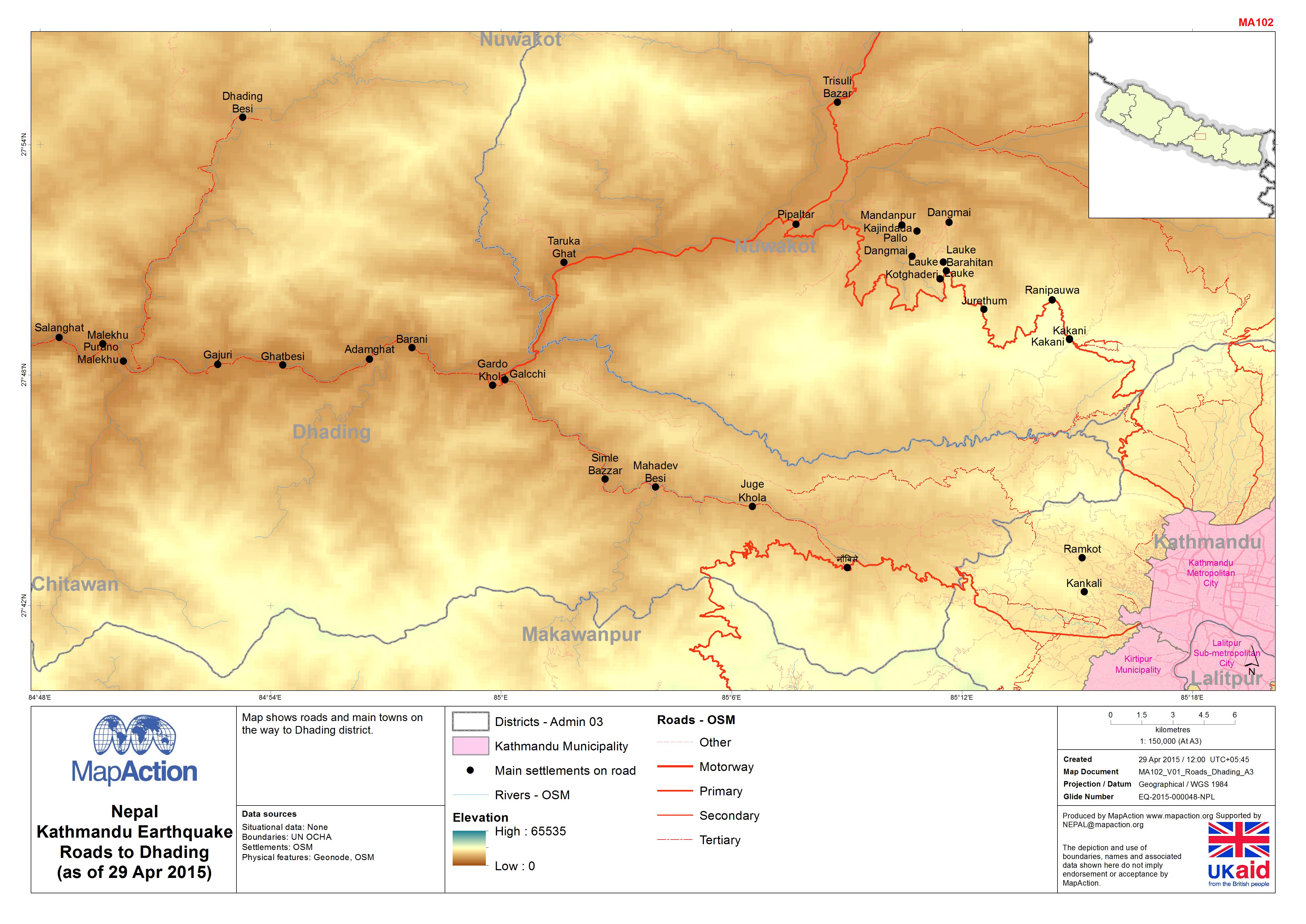
Nepal: Kathmandu - Earthquake - Roads to Dhading (as of 29 Apr 2015)
Maps shows roads and main towns on the way to Dhading district. -
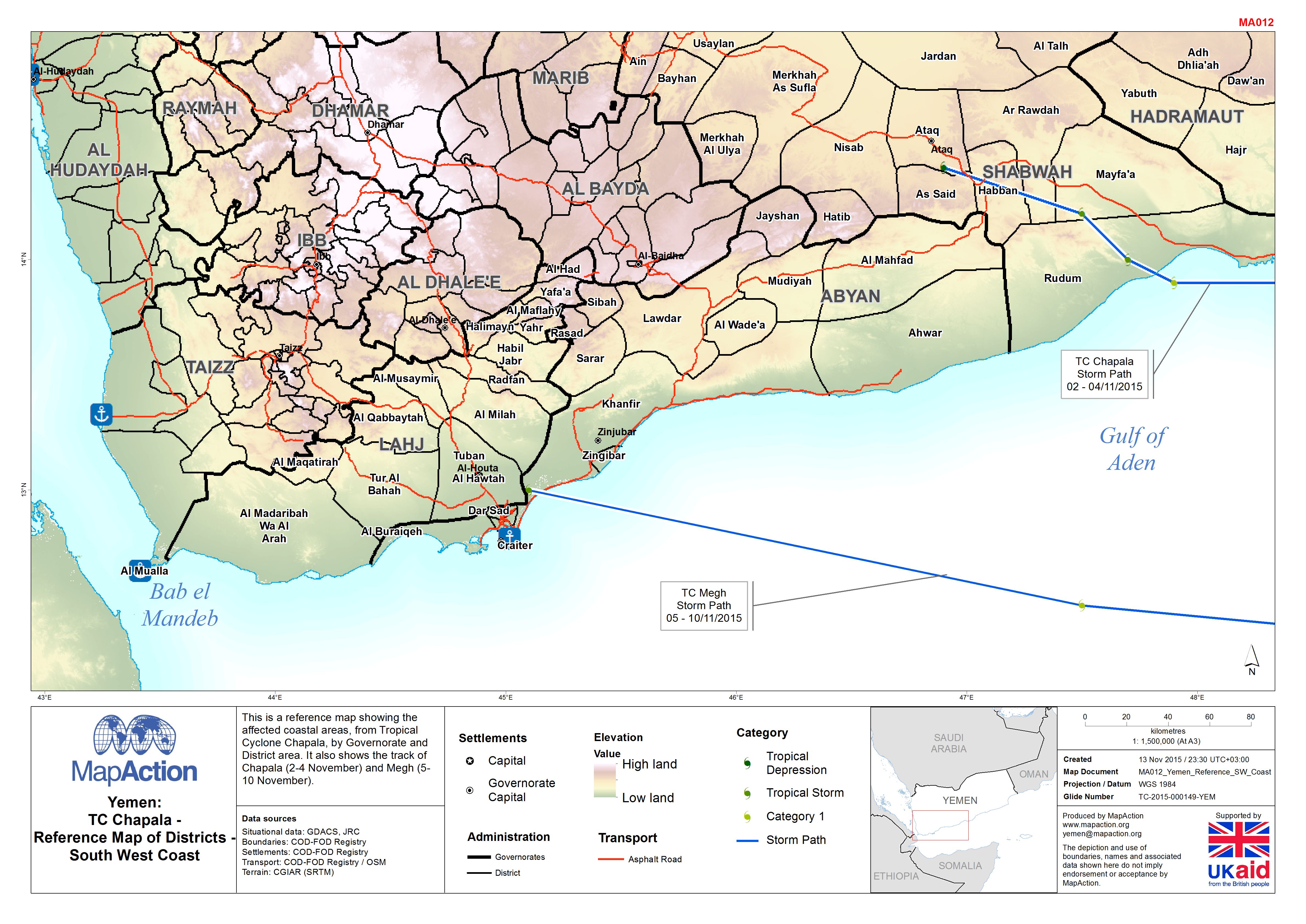
Yemen: TC Chapala - Reference Map of Districts - South West Coast
This is a reference map showing the affected coastal areas, from Tropical Cyclone Chapala, by Governorate and District area. It also shows the track of Chapala (2-4 November)... -

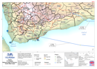
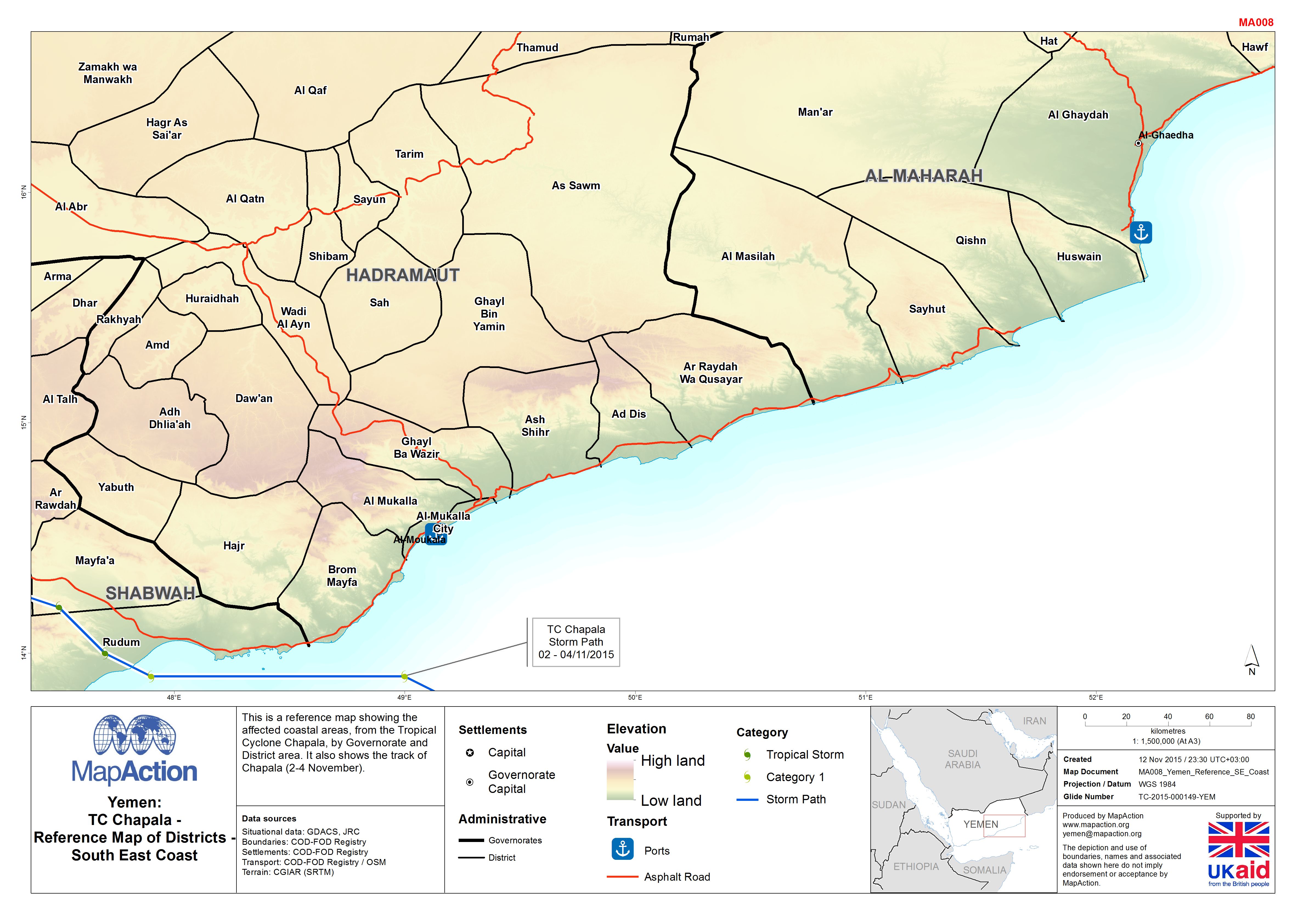
Yemen: TC Chapala - Reference Map of Districts - South East Coast
This is a reference map showing the affected coastal areas, from Tropical Cyclone Chapala, by Governorate and District area. It also shows the track of Chapala (2-4 November). -

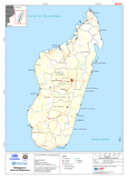
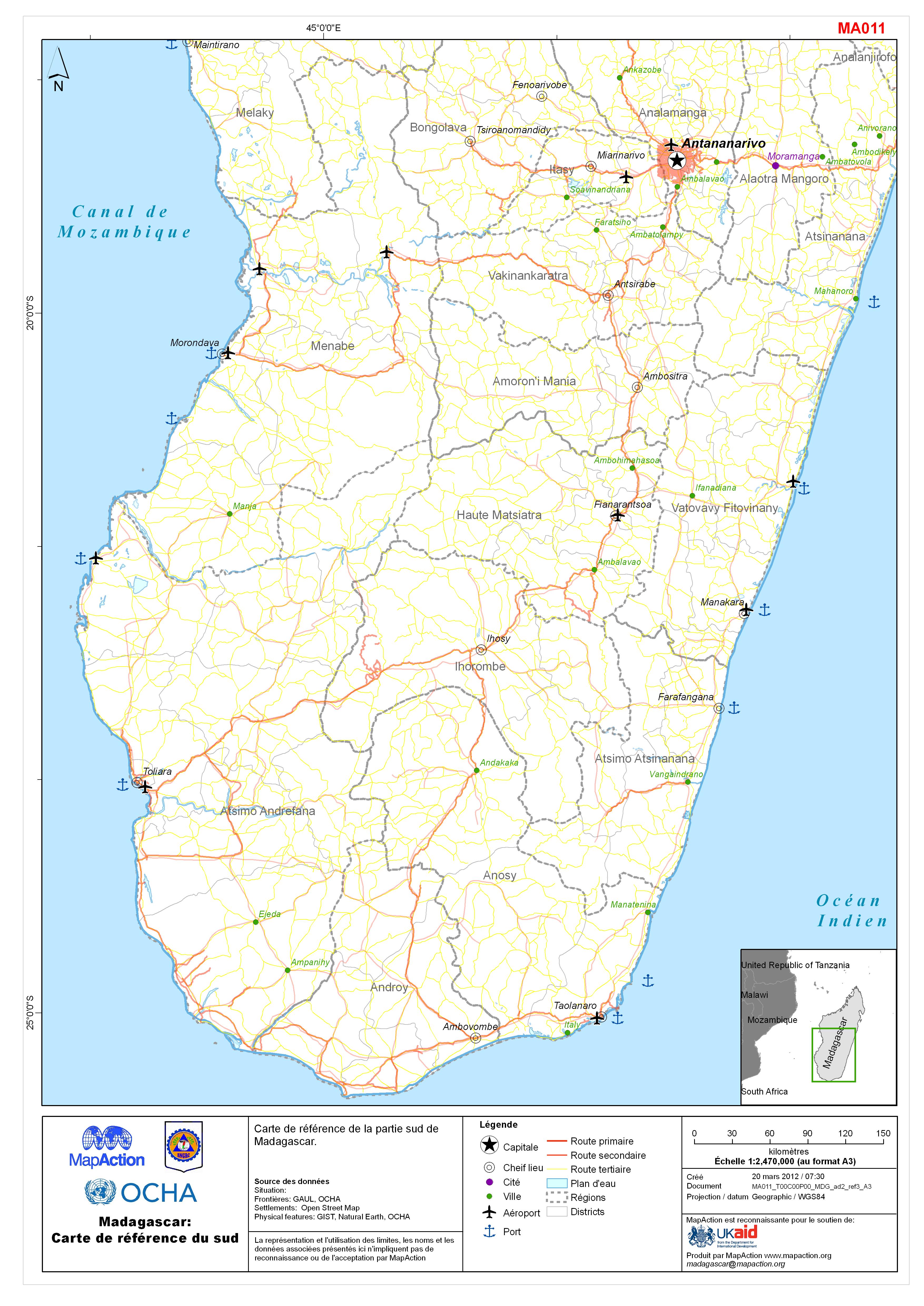
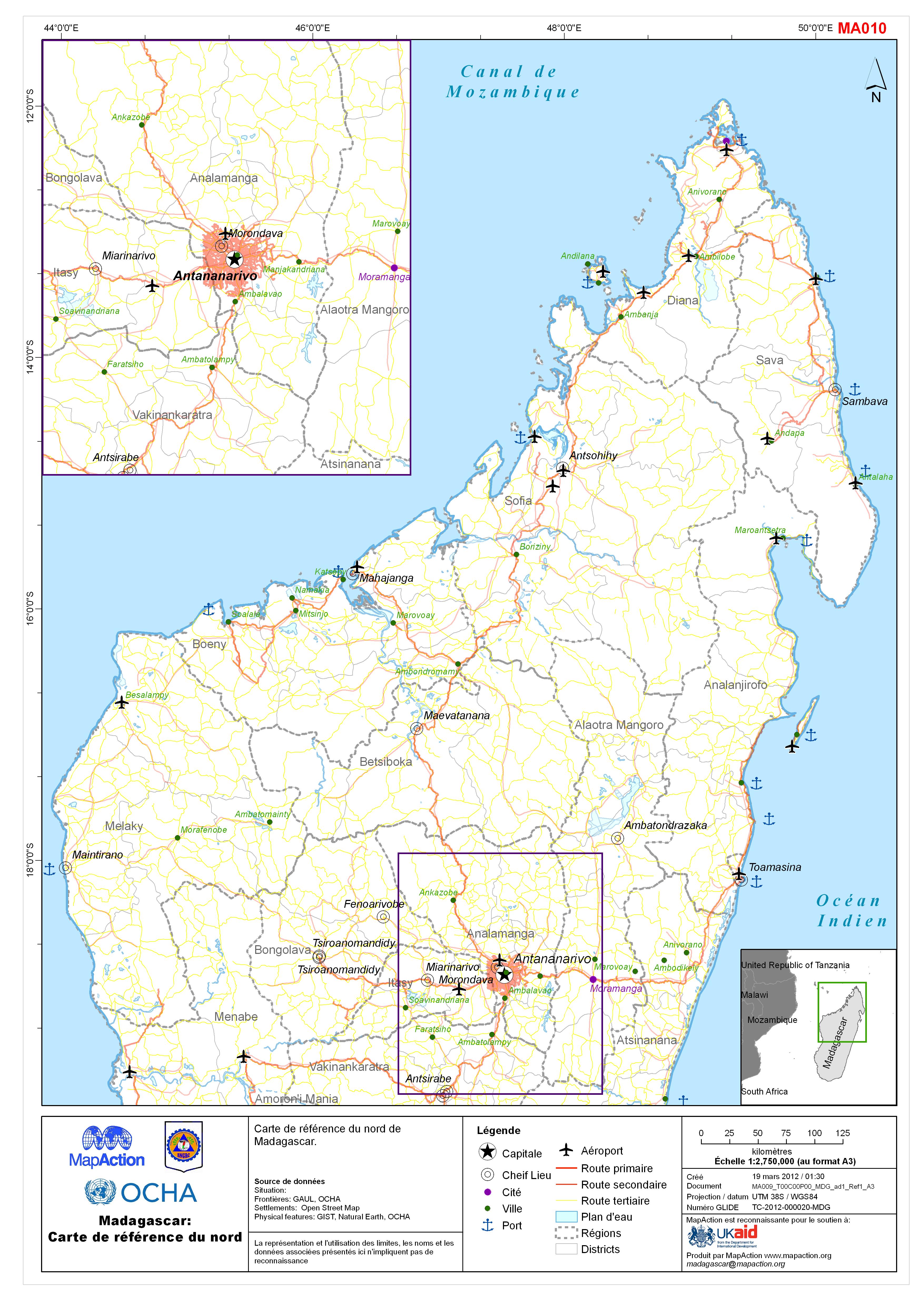
Madagascar: Carte de référence du sud
Reference map of Madagascar showing the Capital city Antananarivo, primary and secondary roads, airports and seaports.Carte de référence de la partie sud de Madagascar -
-
-

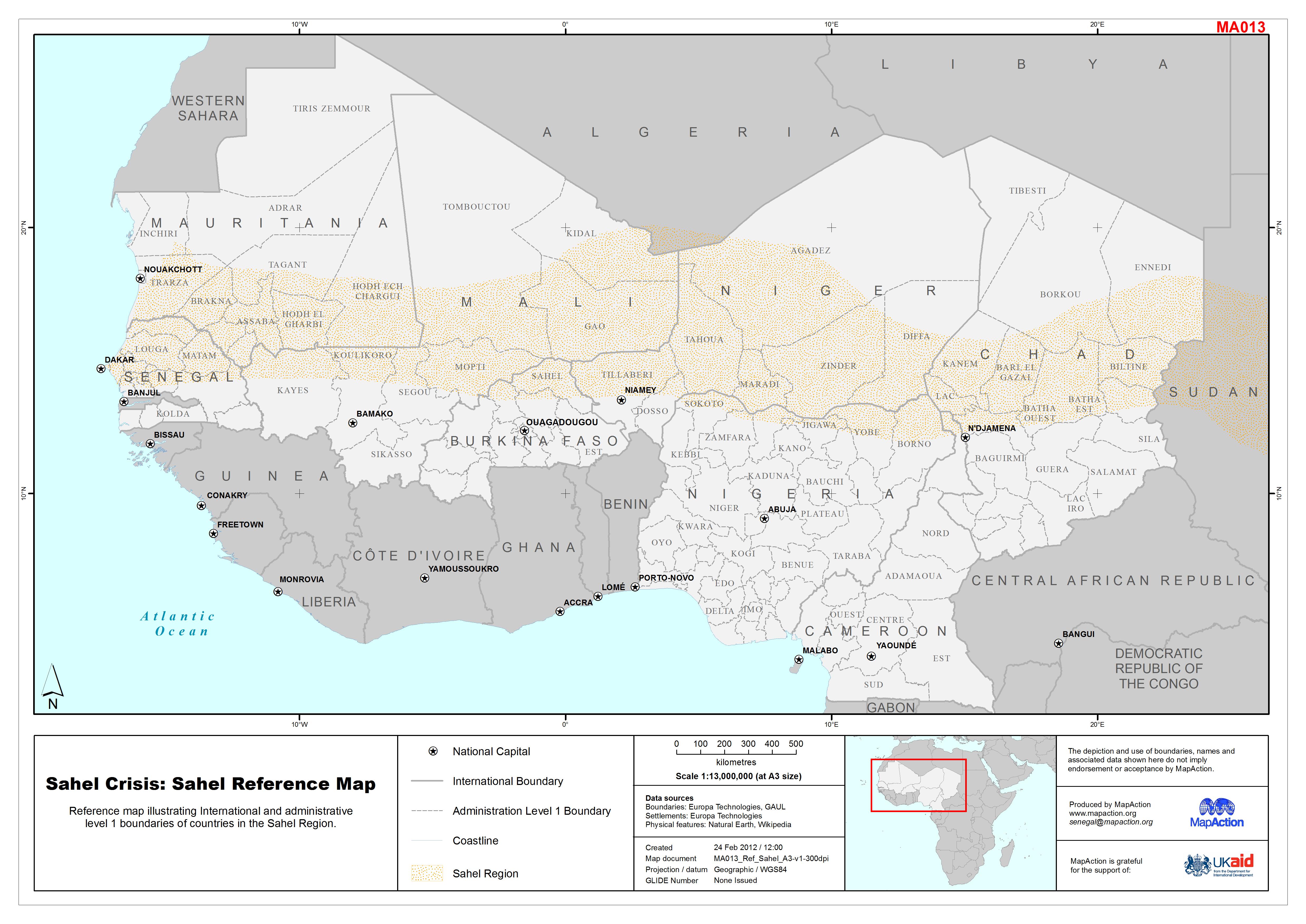
Sahel Crisis: Sahel Reference Map
Reference map illustrating International and administrative level 1 boundaries of countries in the Sahel Region. -
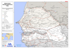
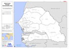
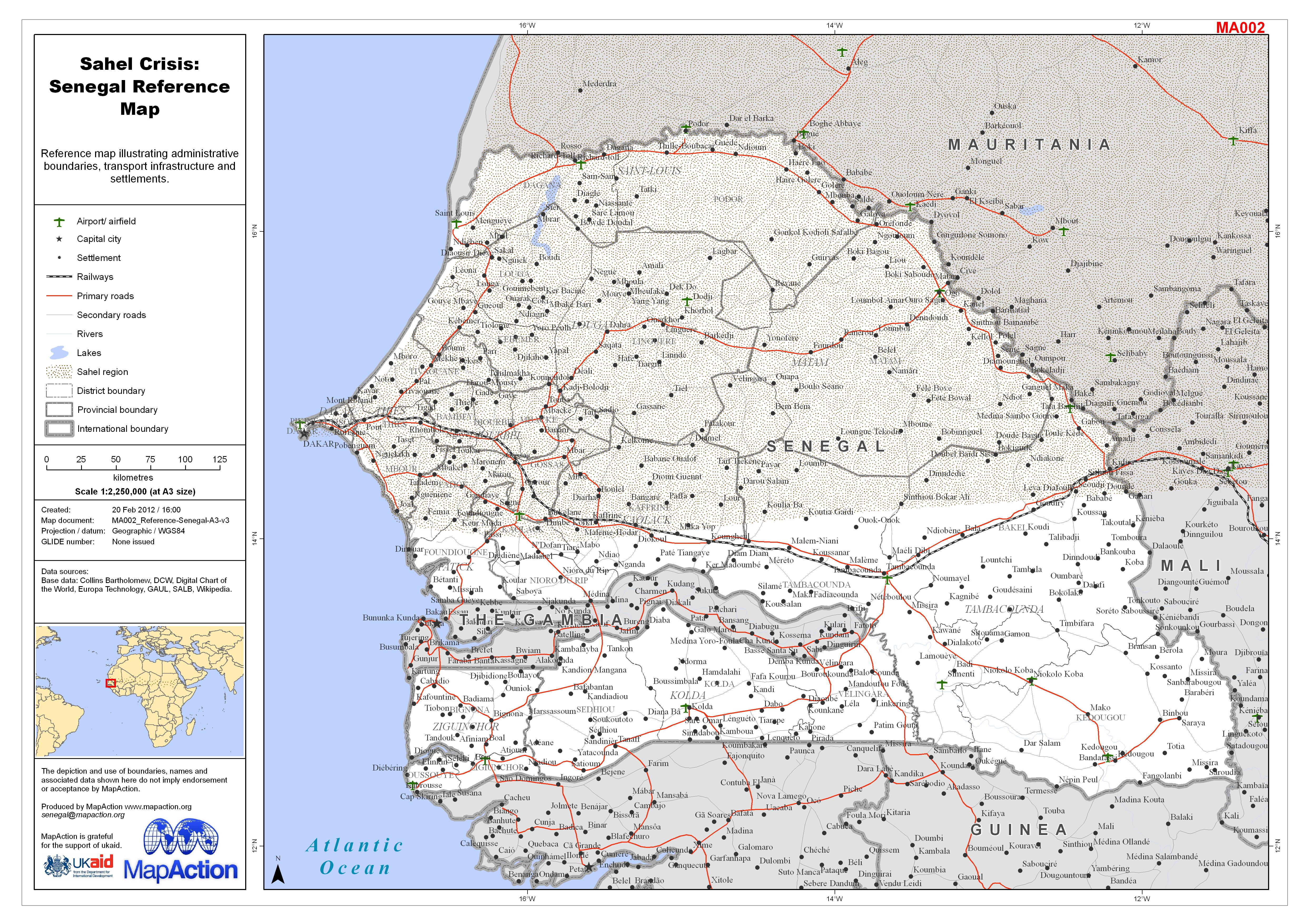
Sahel Crisis: Senegal Reference Map
Reference map illustrating administrative boundaries, transport infrastructure and settlements. -
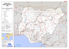
Sahel Crisis: Nigeria Reference Map
Reference map illustrating administrative boundaries, transport infrastructure and settlements. -

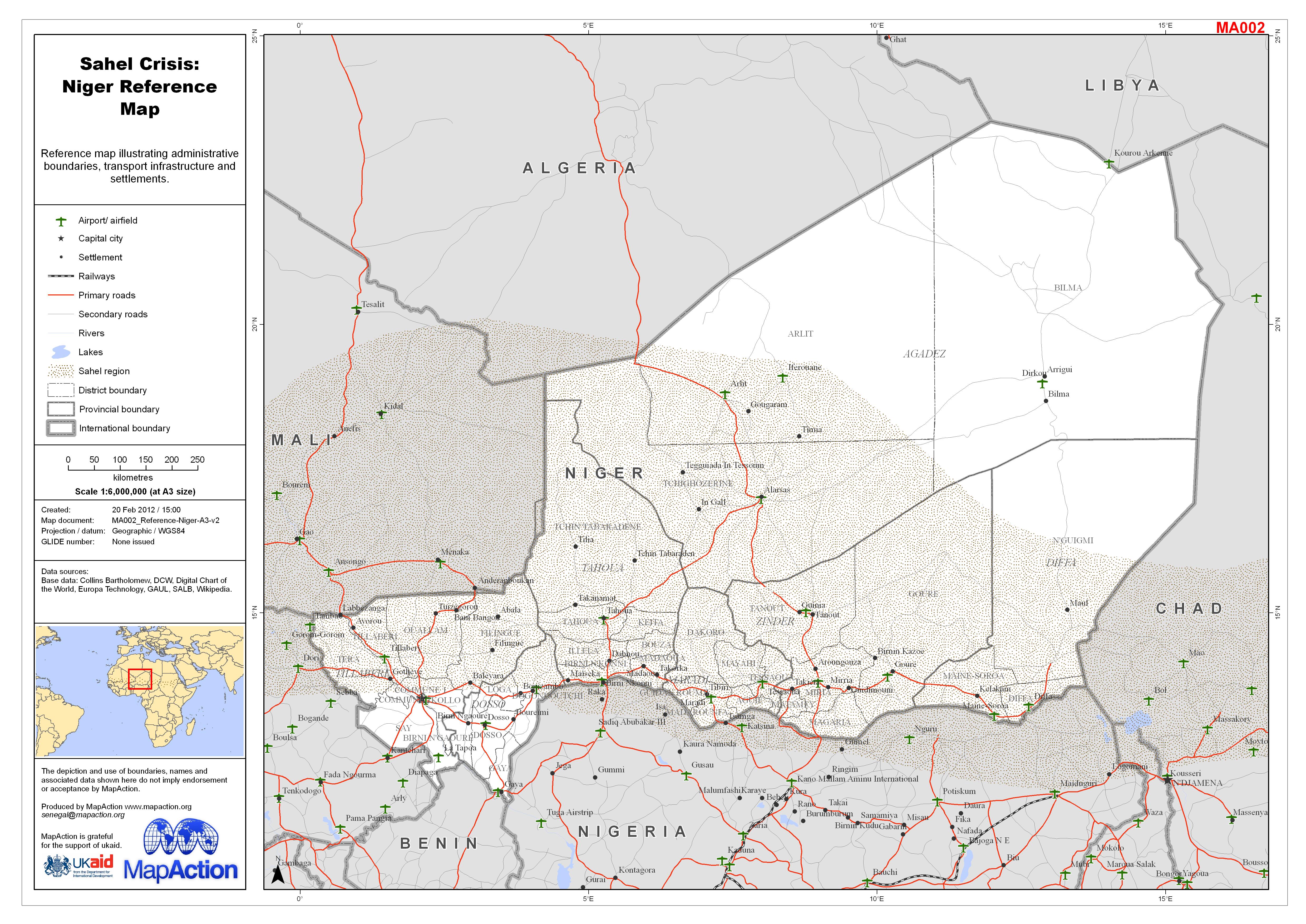
Sahel Crisis: Niger Reference Map
Reference map illustrating administrative boundaries, transport infrastructure and settlements. -

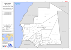
Sahel Crisis: Mauritania Reference Map
Reference map illustrating administrative boundaries, transport infrastructure and settlements. -
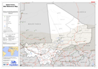
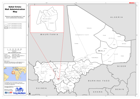
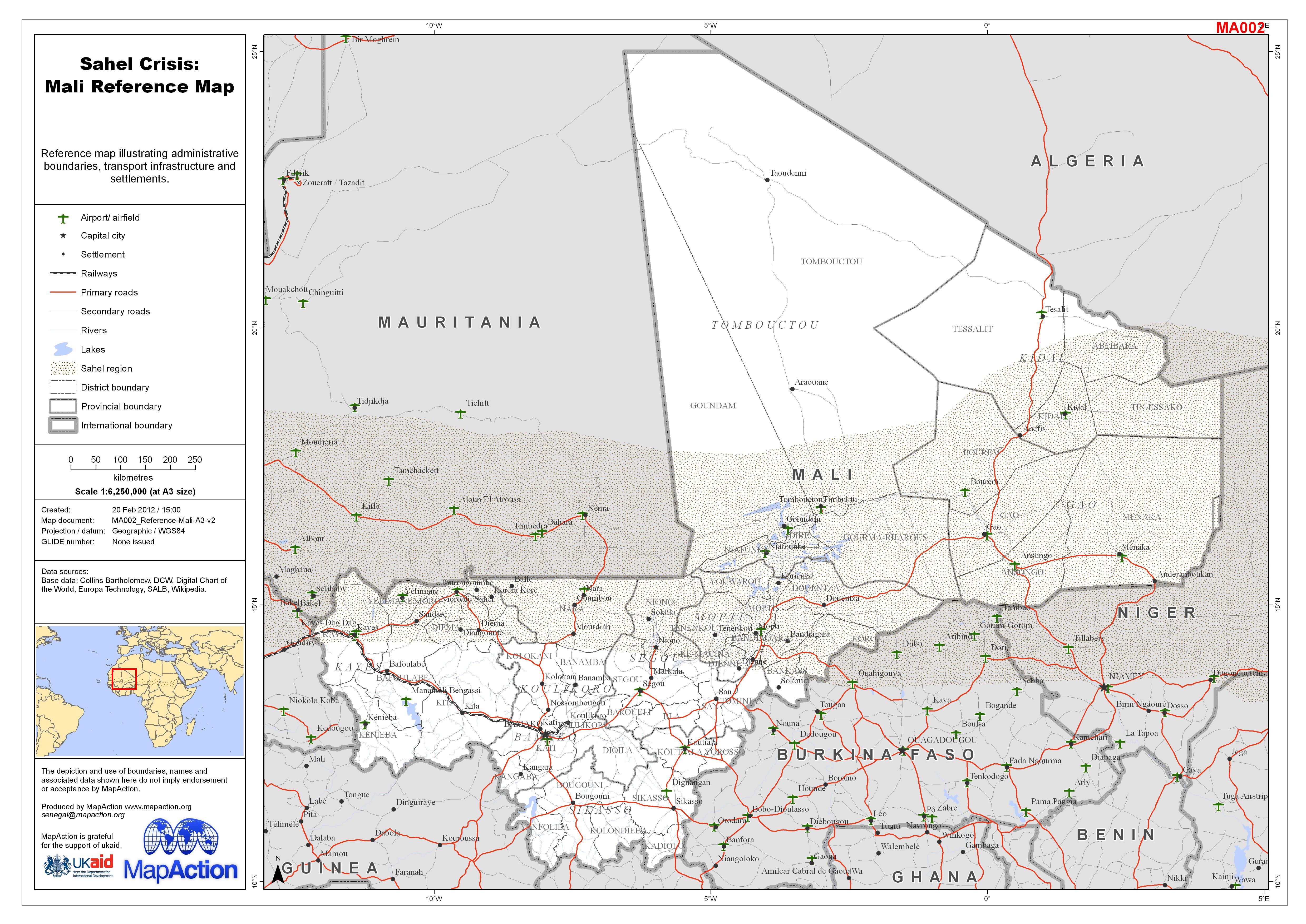
Sahel Crisis: Mali Reference Map
Reference map illustrating administrative boundaries, transport infrastructure and settlements. -
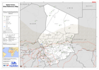
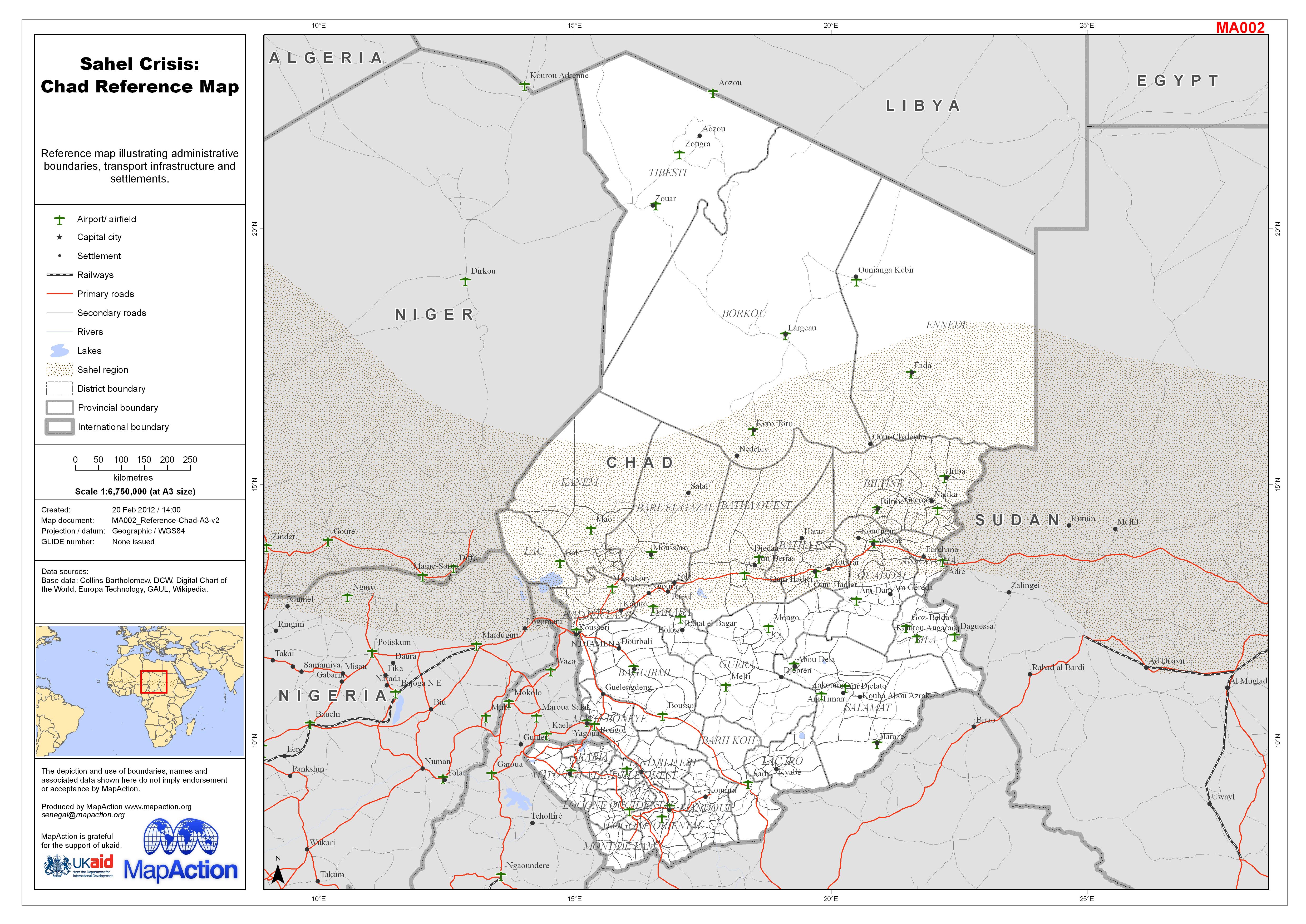
Sahel Crisis: Chad Reference Map
Reference map illustrating administrative boundaries, transport infrastructure and settlements. -
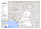
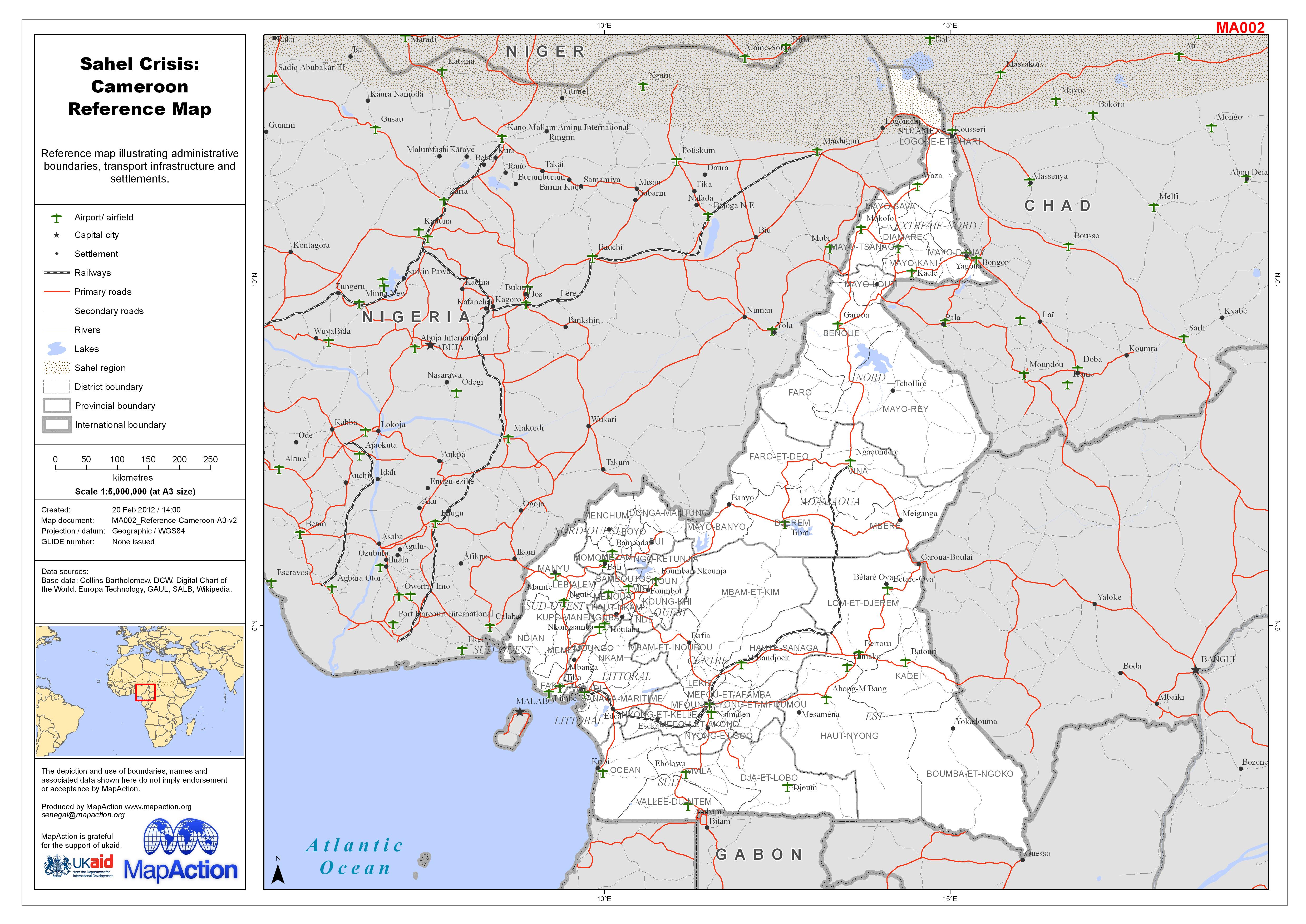
Sahel Crisis: Cameroon Reference Map
Reference map illustrating administrative boundaries, transport infrastructure and settlements. -
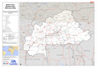
Sahel Crisis: Burkina Faso Reference Map
Reference map illustrating administrative boundaries, transport infrastructure and settlements. -
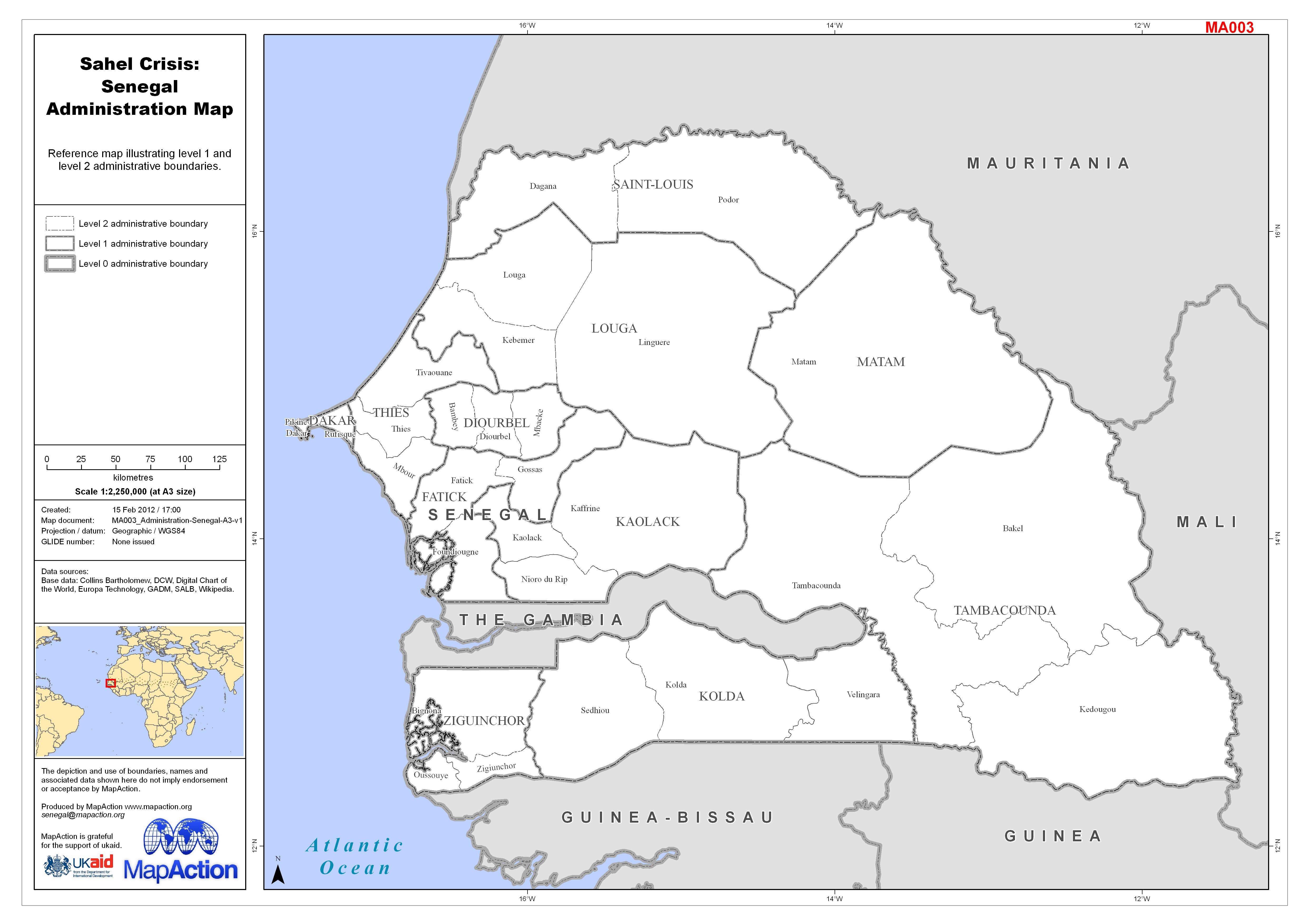
Sahel Crisis: Senegal Administration Map
Reference map illustrating level 1 and level 2 administrative boundaries. -

Sahel Crisis: Nigeria Administration Map
Reference map illustrating level 1 and level 2 administrative boundaries. -

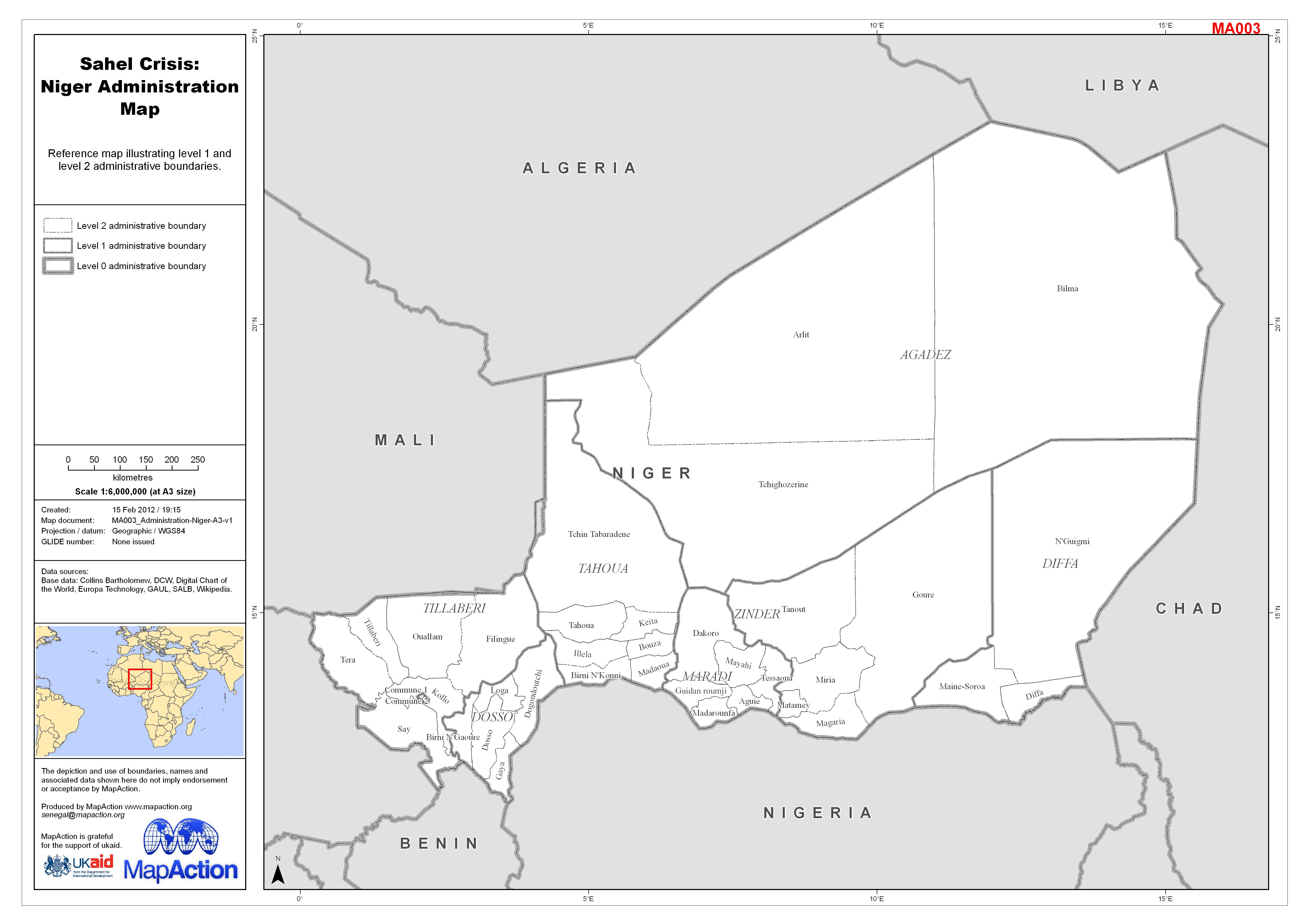
Sahel Crisis: Niger Administration Map
Reference map illustrating level 1 and level 2 administrative boundaries. -
Sahel Crisis: Mauritania Administration Map
Reference map illustrating level 1 and level 2 administrative boundaries. -
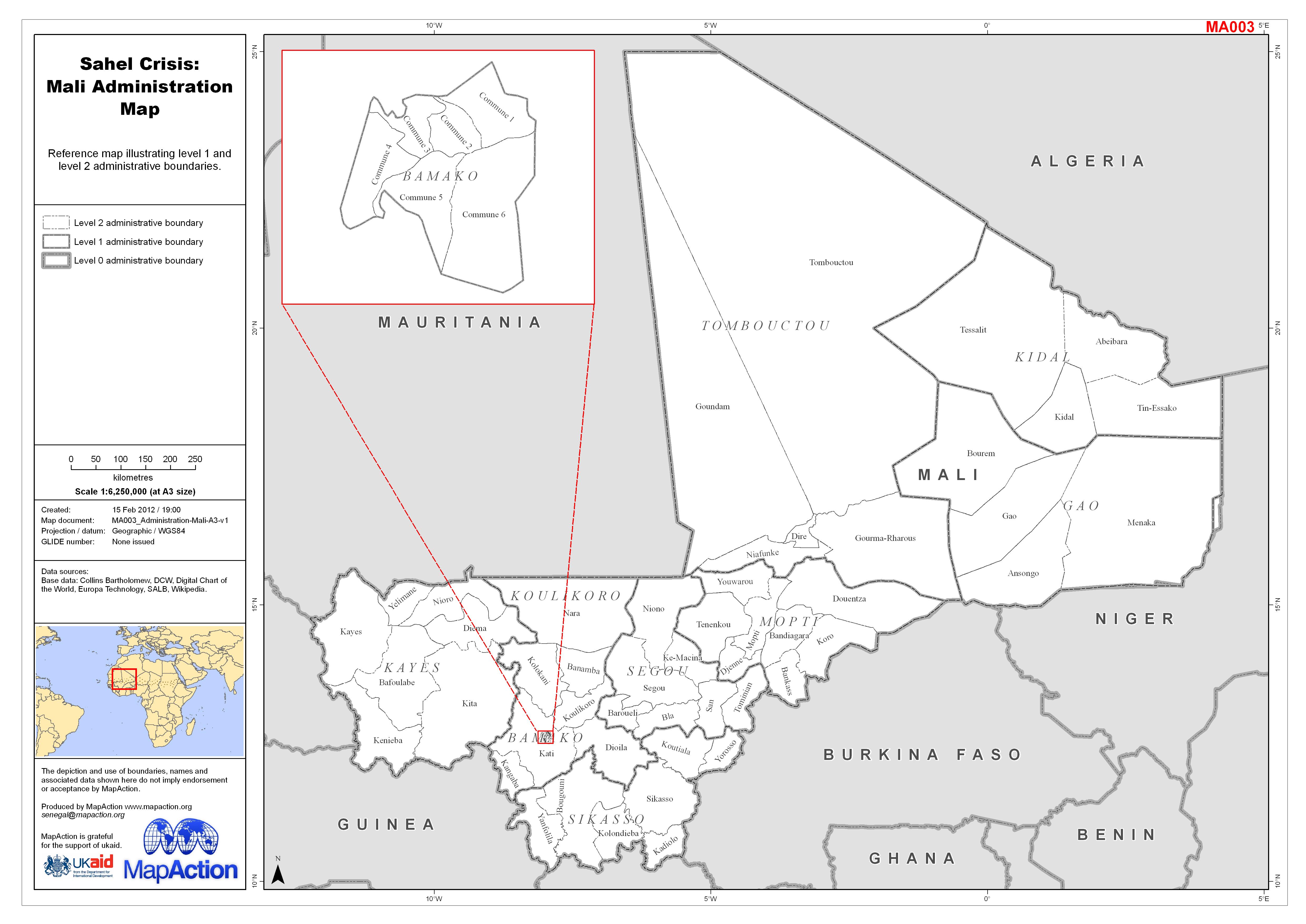
Sahel Crisis: Mali Administration Map
Reference map illustrating level 1 and level 2 administrative boundaries.