Skip to content
Log in
Register
Latest maps and data
Wildfires:
Belize
Hurricane Beryl: Caribbean
Menu
Home
About us
Impact
Strategy
Values
Where we work
History
Governance
Annual reports
Press
Services
Anticipatory Action/DRR
Health
Emergency response
Partners
Operational partners
Funders
Supporters
Team
Volunteer
Volunteer resources
News
Advocacy
Blog
LIVE Blogs
Anticipatory Action
Geospatial Community of Interest Asia-Pacific Newsletter. Sign-up Form
Maps
All maps and data
Example product catalogue
Other resources
Get involved
Fundraise
Corporate partnerships
Payroll giving
Trusts and foundations
Leave a gift in your will
Donation FAQs
Join us
Contact us
Donate
Locations
Events
Search Datasets
You are here:
Home
Maps and Data
Home
Datasets
Submit
Order by
Relevance
Name Ascending
Name Descending
Last Modified
Go
4 datasets found
Themes:
Orientation and Reference
Formats:
PNG
Locations or Events:
Madagascar
Filter Results
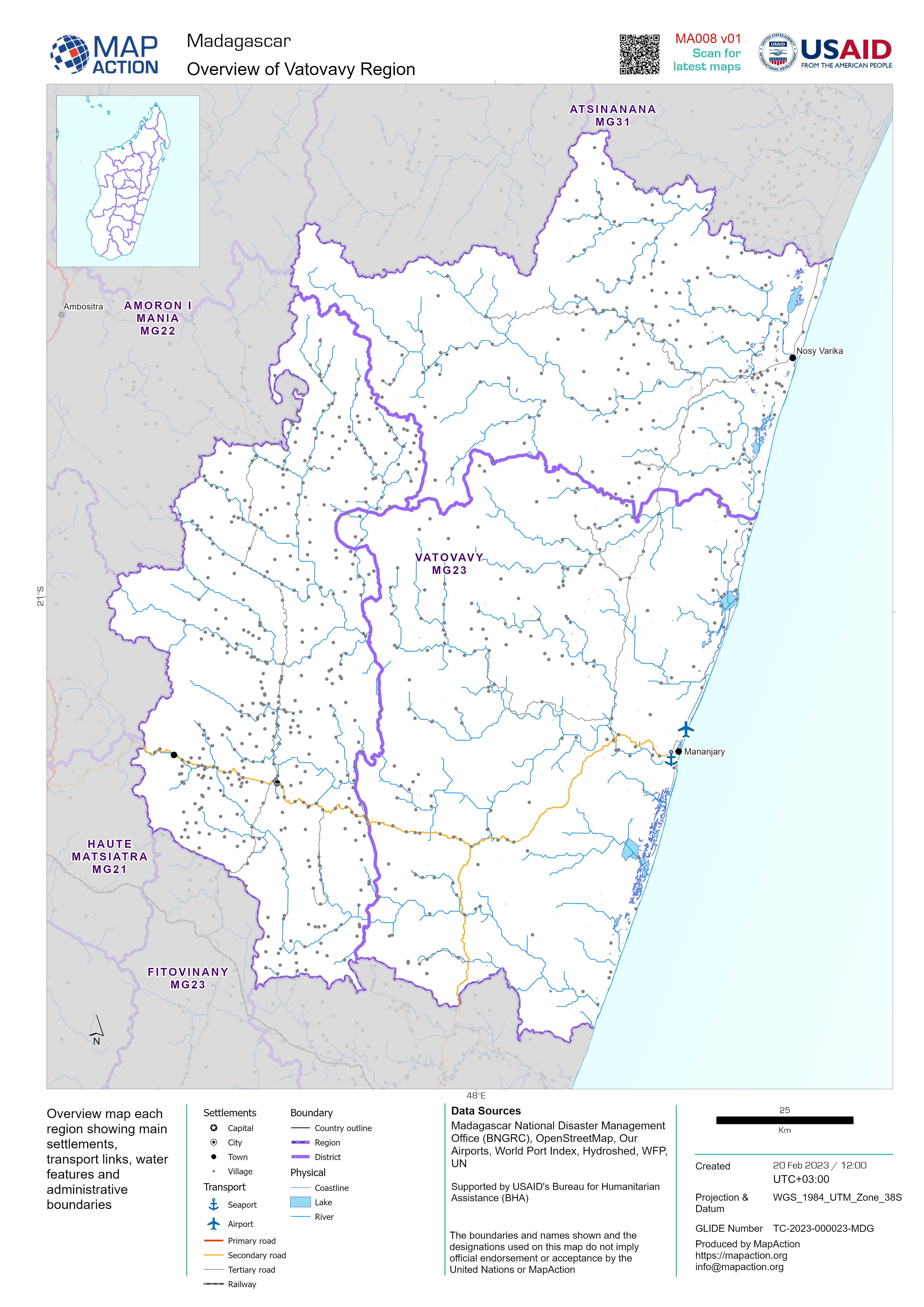
Overview map each region showing main settlements, transport links, water fea...
Overview map each region showing main settlements, transport links, water features and administrative boundaries
JPEG
PDF
PDF
PDF
PDF
PDF
PDF
PDF
PDF
PDF
PDF
PDF
PDF
PDF
PDF
PDF
PDF
PDF
PDF
PDF
PDF
PDF
PDF
PDF
Districts of Region
Districts (admin level 2) and main settlements within each region
JPEG
PDF
PDF
PDF
PDF
PDF
PDF
PDF
PDF
PDF
PDF
PDF
PDF
PDF
PDF
PDF
PDF
PDF
PDF
PDF
PDF
PDF
PDF
PDF
Regions (administrative level 1)
Regions of Madagascar shown with major settlements
JPEG
PDF
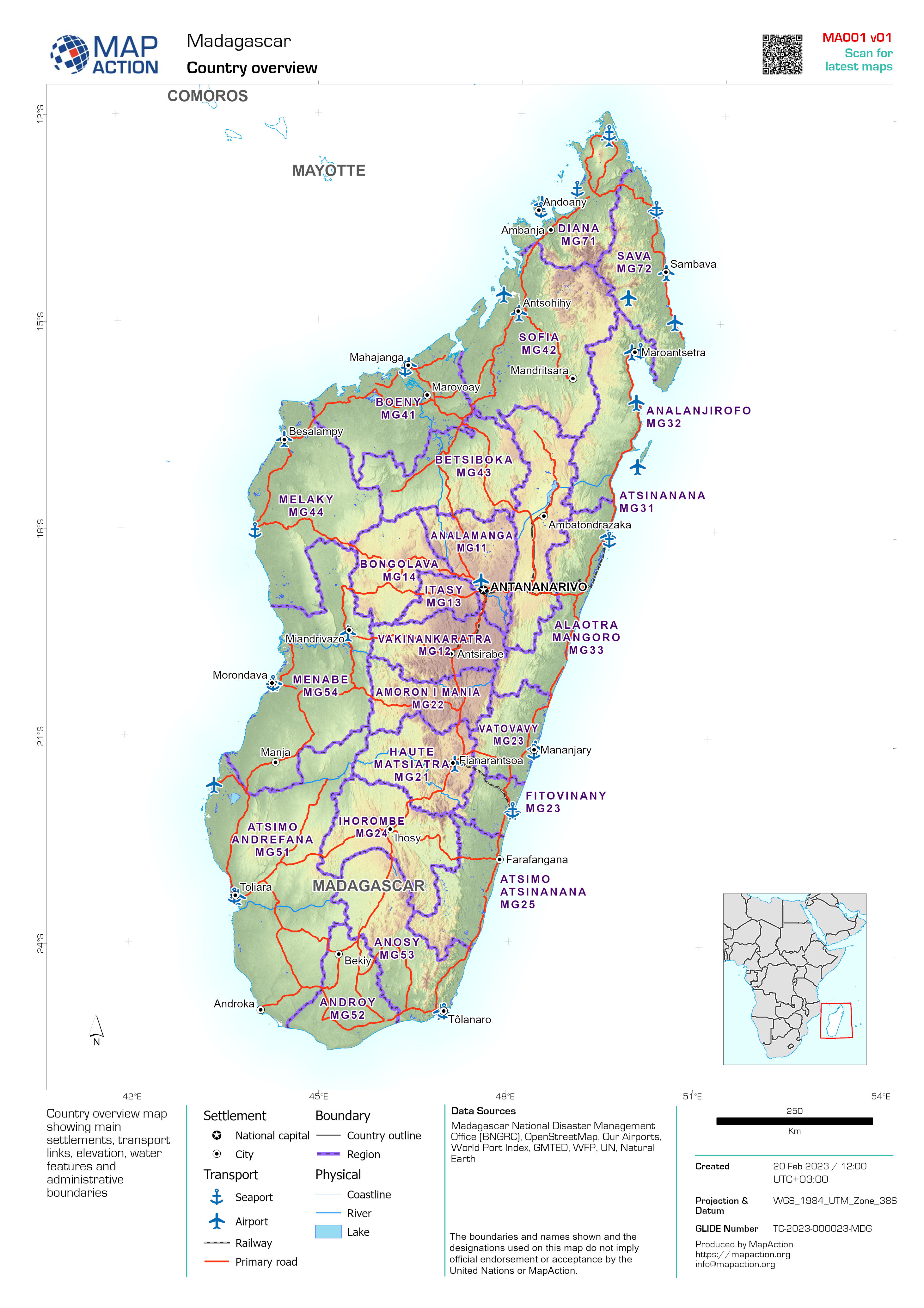
Country overview
Country overview map showing main settlements, transport links, elevation, water features and administrative boundaries
PDF
JPEG
You can also access this registry using the
API
(see
API Docs
).


