Skip to content
Log in
Register
Latest maps and data
Drought:
Belize
Menu
Home
About us
Impact
Strategy
Values
Where we work
History
Governance
Annual reports
Press
Services
Anticipatory Action/DRR
Health
Emergency response
Partners
Operational partners
Funders
Supporters
Team
Volunteer
Volunteer resources
News
Advocacy
Blog
LIVE Blogs
Anticipatory Action
Maps
All maps and data
Example product catalogue
Other resources
Get involved
Fundraise
Corporate partnerships
Payroll giving
Trusts and foundations
Leave a gift in your will
Donation FAQs
Join us
Contact us
Donate
Locations
Events
Search Datasets
You are here:
Home
Maps and Data
Home
Datasets
Submit
Order by
Relevance
Name Ascending
Name Descending
Last Modified
Go
4 datasets found
Licenses:
License not specified
Formats:
PDF
Locations or Events:
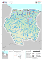
Suriname: Floods, June 2021
Filter Results
District level reference maps
Map shows each individual District with Resorts displayed and named
PDF
PDF
PDF
PDF
PDF
PDF
PDF
PDF
PDF
PDF
Population Distribution and Density map of Suriname at District level
Map shows the population distribution across the Districts of Suriname as well as the population density per km2
JPEG
PDF
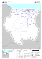
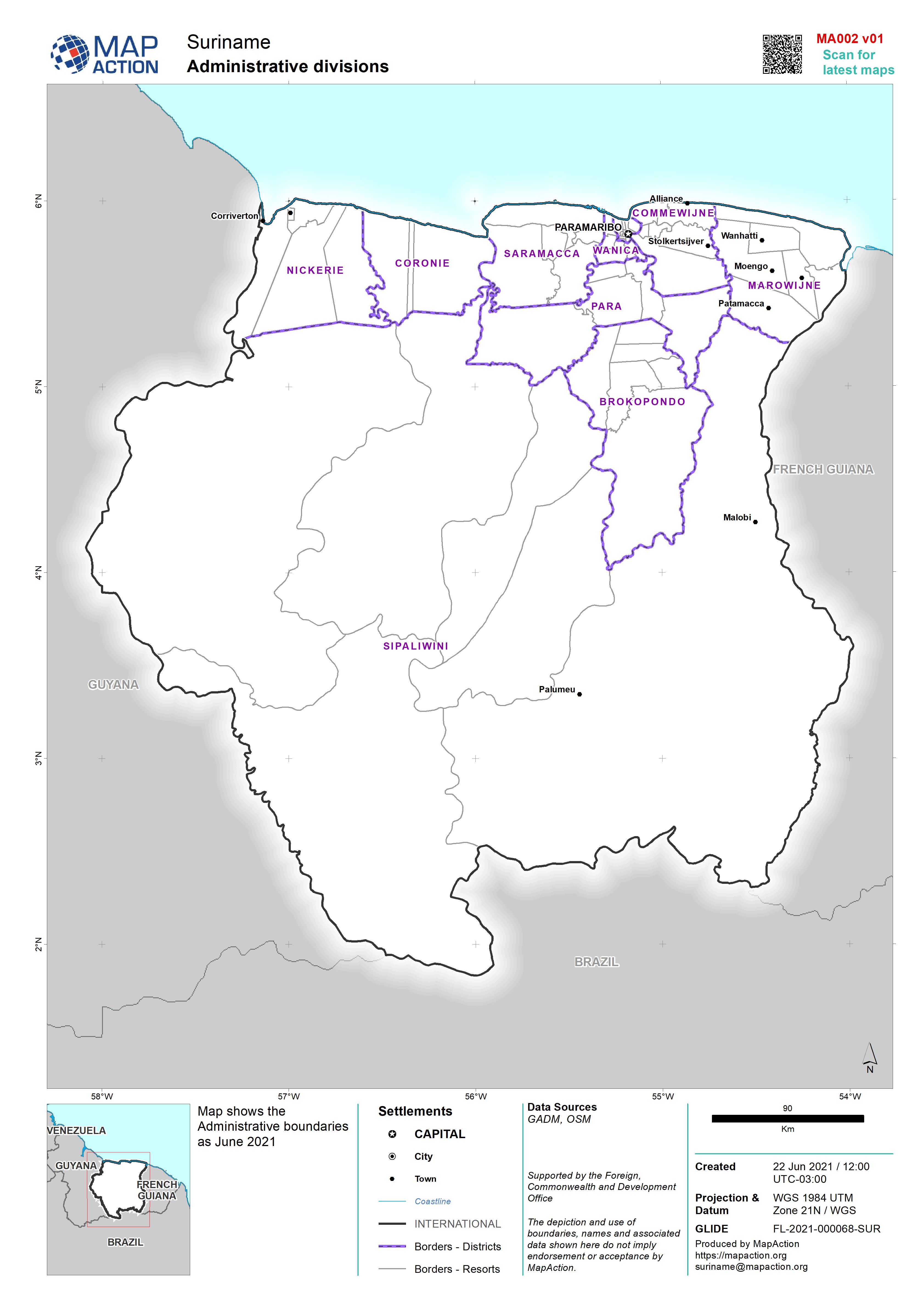
Administrative divisions
Map shows the Administrative boundaries as June 2021
JPEG
PDF
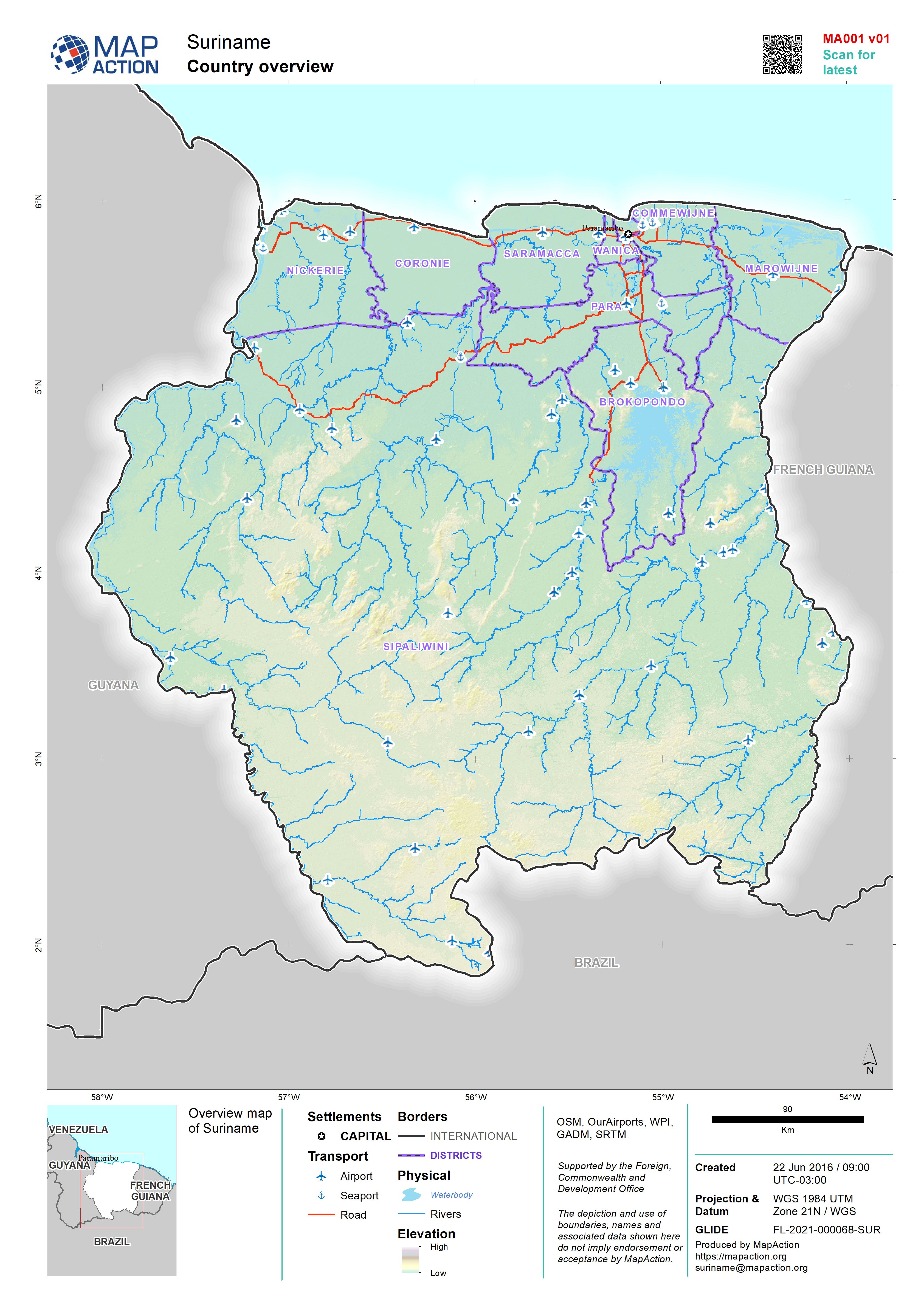
Country overview
Overview map of Suriname
JPEG
PDF
You can also access this registry using the
API
(see
API Docs
).
