-
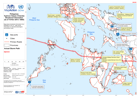
Philippines Typhoon Haiyan (Yolanda) Predicted Storm Surge based on Actual st...
Map shows predicted storm surged as modelled from actual typhoon track (as of 12 November 2013). -

Philippines Typhoon Haiyan (Yolanda) Damage - Tacloban City (as of 11 Nov 2013)
Map shows Tacloban. Map shows damaged buildings digitised from satellite imagery post typhoon. Data was available from 11-Nov-2013.Please be advised that datasets may not be... -
Philippines Typhoon Haiyan (Yolanda) Situational Information (as of 10 Nov 20...
Map shows situational information from NDRRMC sit rep 10. Map shows.Information on stranded passengers and blocked roads -

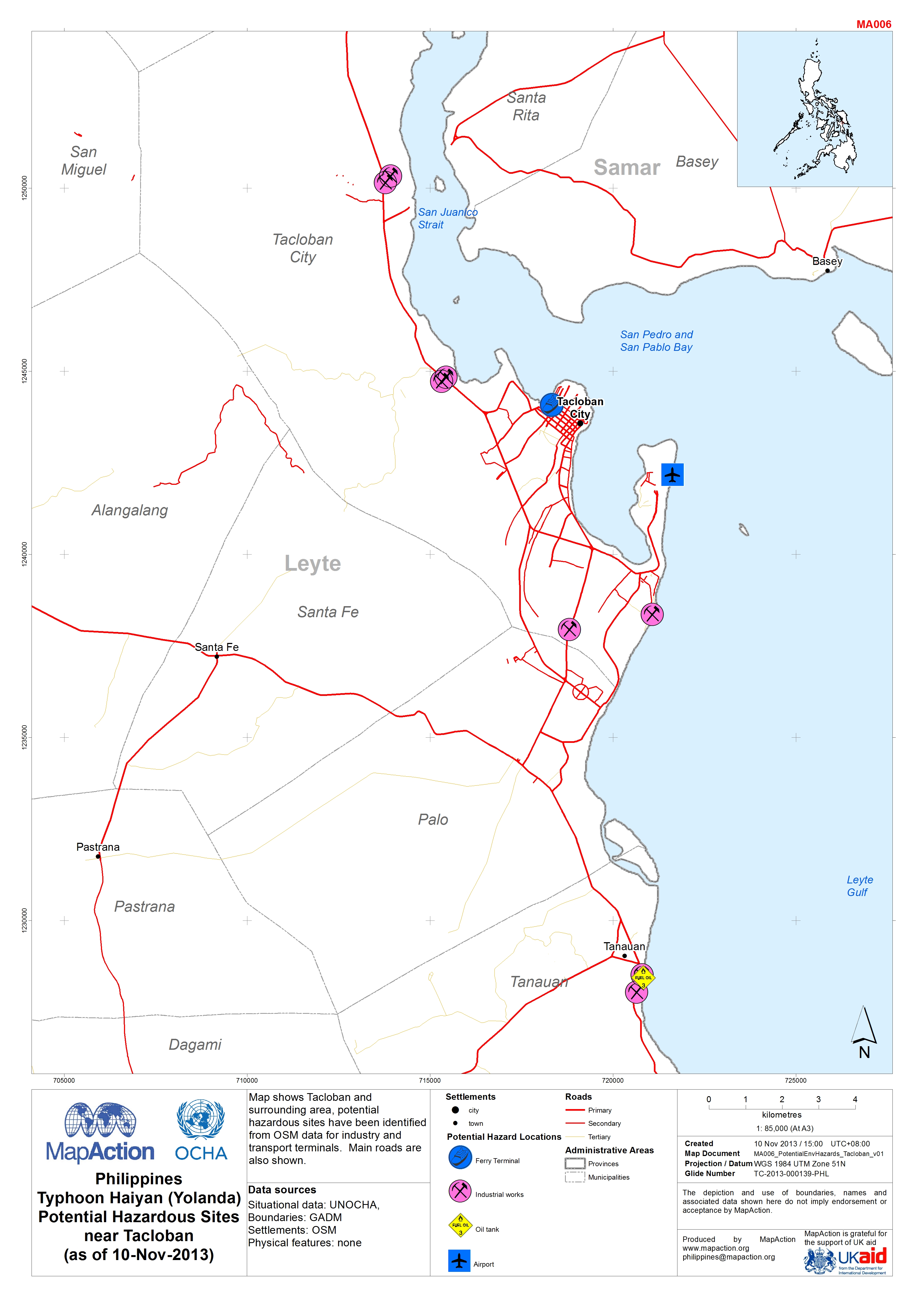
Philippines Typhoon Haiyan (Yolanda) Potential Hazardous Sites near Tacloban ...
Map shows Tacloban and surrounding area, potential hazardous sites have been identified from OSM data for industry and transport terminals. Main roads are also shown. -

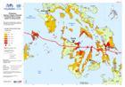
Typhoon Haiyan (Yolanda) Probable Affected Provinces (as of 09 Nov 2013)
Map shows the predicted and actual paths of the typhoon. Administration levels are shown at Province level, highlighting the provinces that are probably affected.