-
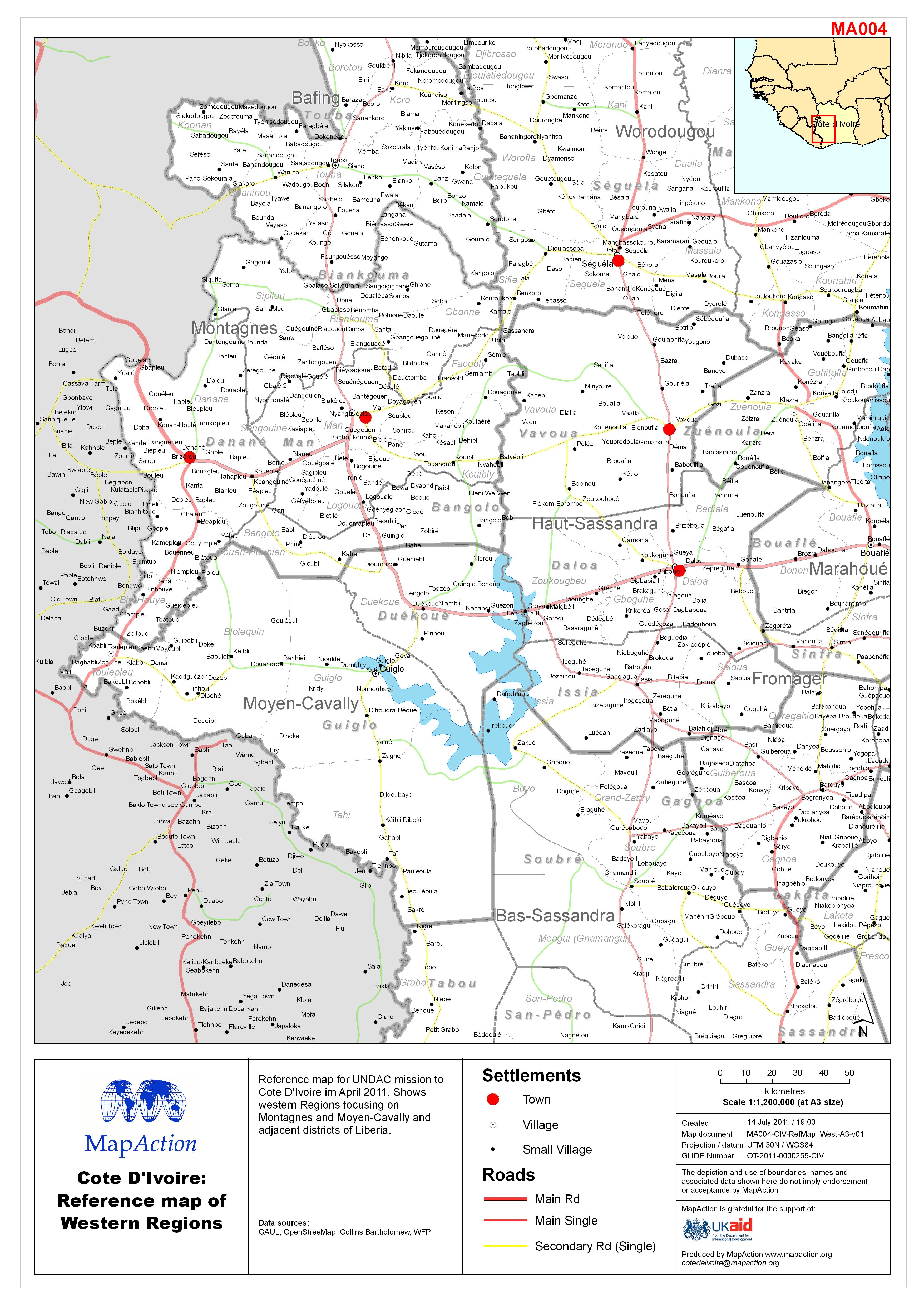
Reference map for UNDAC mission to Côte d’Ivoire in April 2011. Shows western Regions focusing on Montagnes and Moyen-Cavally and adjacent districts of Liberia.
-

Reference map for UNDAC mission to Côte d’Ivoire in April 2011.GRUMP population density data. The settlement population data is from 1988 and should be used as indicative only...
-

The MapAction PowerPoint Map Pack contains a set of country level reference maps and individual Regions(admin 1 level) maps. These maps are designed for the user to use in...