Skip to content
Log in
Register
Latest maps and data
Drought:
Belize
Menu
Home
About us
Impact
Strategy
Values
Where we work
History
Governance
Annual reports
Press
Services
Anticipatory Action/DRR
Health
Emergency response
Partners
Operational partners
Funders
Supporters
Team
Volunteer
Volunteer resources
News
Advocacy
Blog
LIVE Blogs
Anticipatory Action
Maps
All maps and data
Example product catalogue
Other resources
Get involved
Fundraise
Corporate partnerships
Payroll giving
Trusts and foundations
Leave a gift in your will
Donation FAQs
Join us
Contact us
Donate
Locations
Events
Search Datasets
You are here:
Home
Maps and Data
Home
Datasets
Submit
Order by
Relevance
Name Ascending
Name Descending
Last Modified
Go
33 datasets found
Locations or Events:
Northern Ghana: Floods, September 2007
Filter Results
Ghana West Area - Helicopter Assessment
This dataset has no description
JPEG
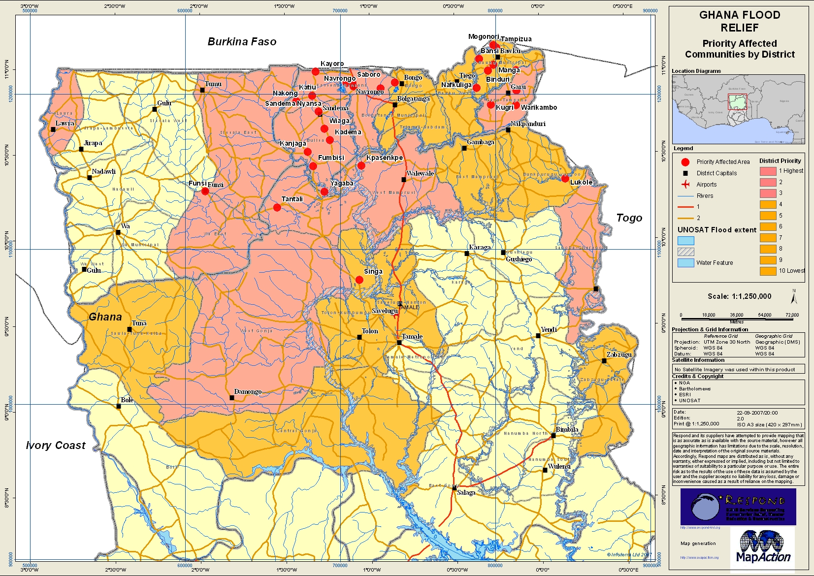
Ghana Priority Affected Communities by District
This dataset has no description
JPEG
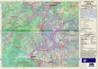
Ghana Flood Relief - Eastern Overview
This dataset has no description
View
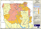
Ghana Flood Relief - Central Overview
This dataset has no description
View
Ghana Flood Relief Northern Overview
This dataset has no description
View
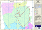
Ghana Tolon-Kumbumgu Assessment
This dataset has no description
View
Ghana Central Gonja Assessment
This dataset has no description
View
Ghana Saboba-Chereponi Assessment
This dataset has no description
View
Ghana West Mamprusi Assessment
This dataset has no description
View
Ghana West Gonja Assessment
This dataset has no description
View
Ghana Disaster Area and Recce Route
This dataset has no description
JPEG
Ghana Flood Relief Northern Overview
This dataset has no description
View
Ghana Overview
This dataset has no description
View
«
1
2
You can also access this registry using the
API
(see
API Docs
).