OpenStreetMap of Virgin Gorda (British Virgin ...
From the dataset abstract
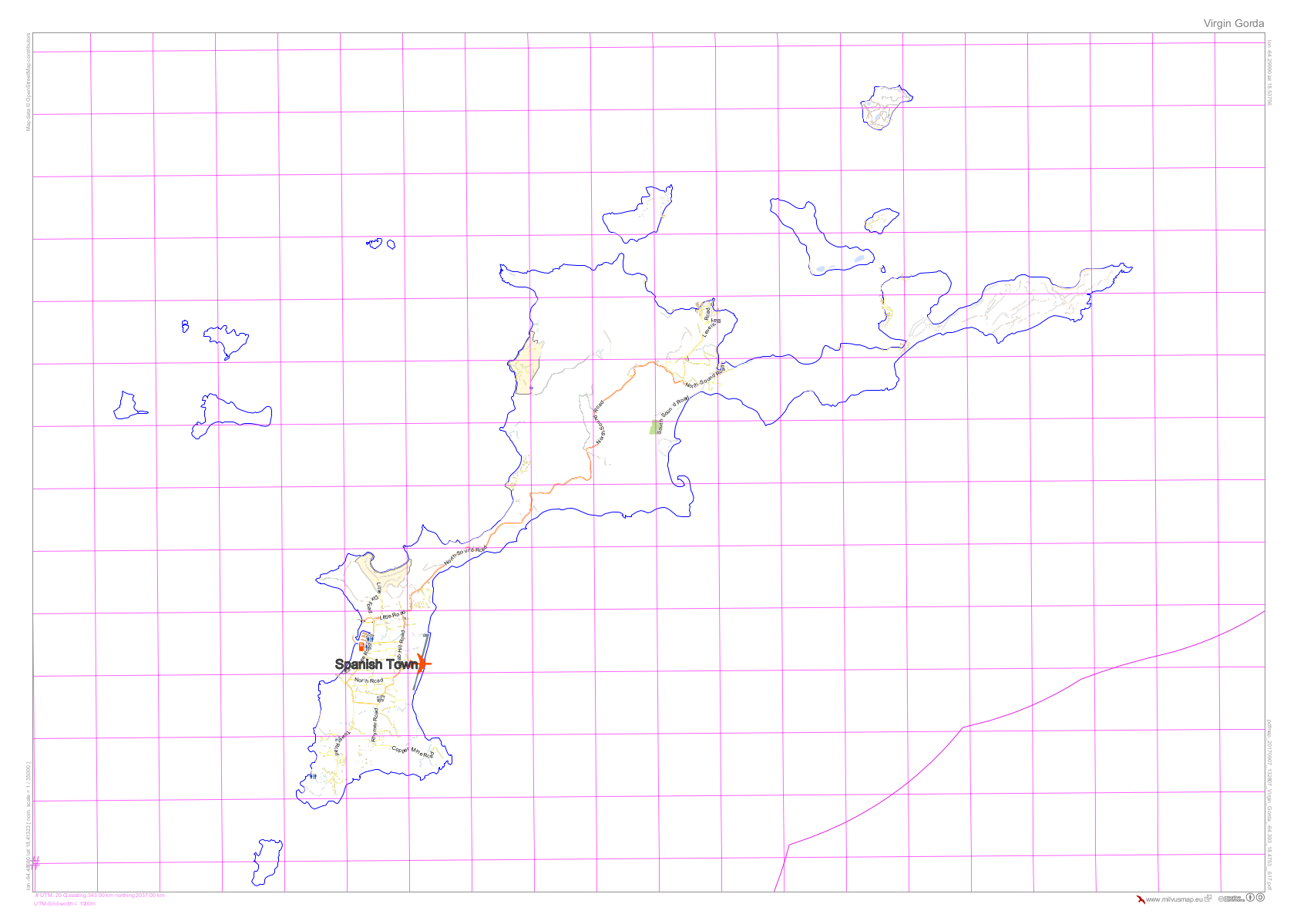
Reference map of Virgin Gorda (British Virgin Islands) using Open Street Mapping provided by milvusmap.eu
Source: OpenStreetMap of Virgin Gorda (British Virgin Islands)
Additional Information
| Field | Value |
|---|---|
| Data last updated | September 11, 2017 |
| Metadata last updated | September 11, 2017 |
| Created | September 11, 2017 |
| Format | PNG |
| License | Creative Commons Attribution |
| Has views | True |
| Id | 31049277-4aca-4b77-8548-a875e9628bf1 |
| On same domain | True |
| Package id | 4e4ac39e-de5d-40ba-a4a0-392579f2fb21 |
| Position | 1 |
| Revision id | 7a56cb3e-1eb4-46af-a610-65c8c2e7fbe6 |
| State | active |
| Url type | upload |