MA602_Dominica_population_v3-300dpi.jpeg
From the dataset abstract
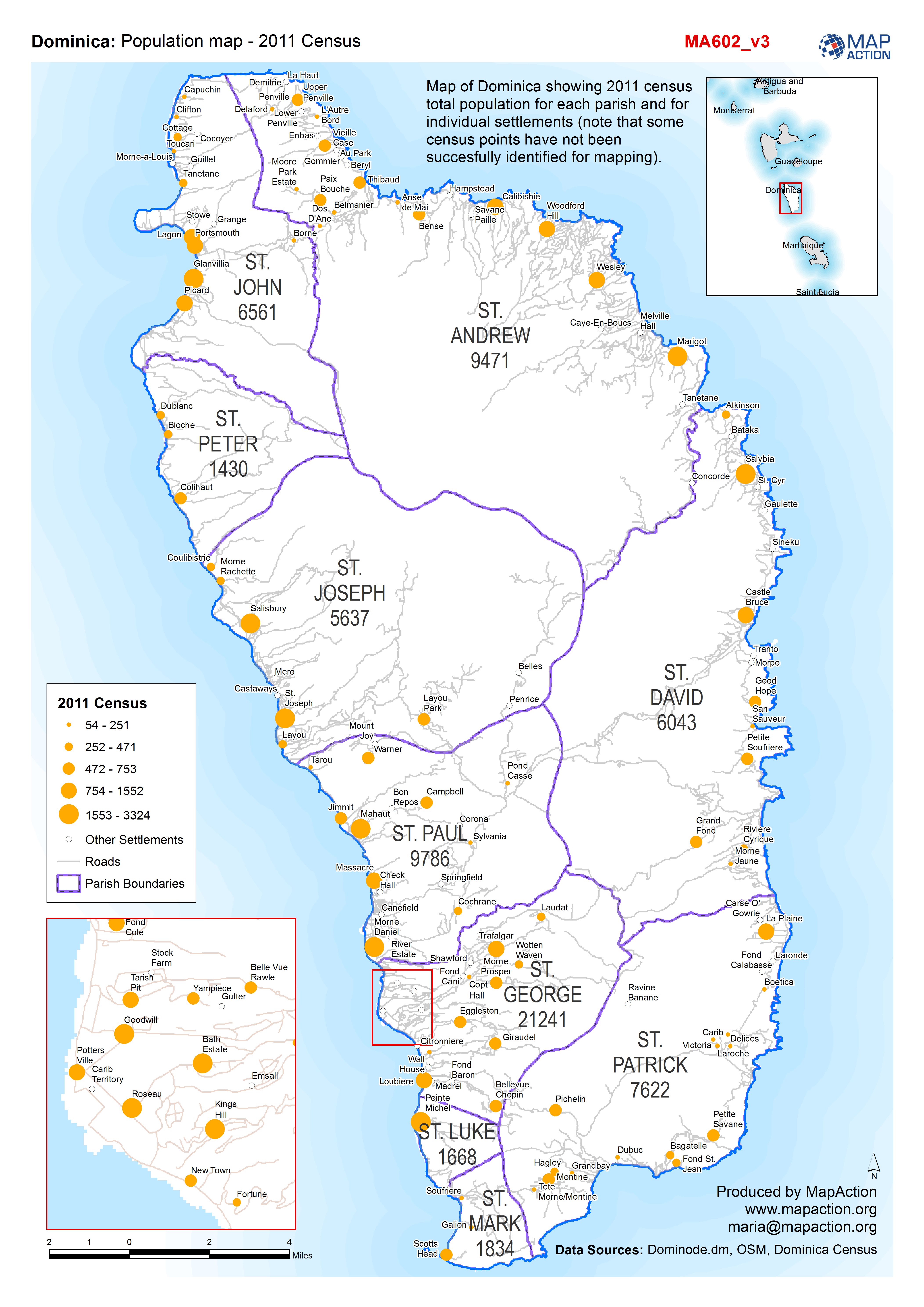
Map of Dominica showing 2011 census total population for each parish and for individual settlements (note that some census points have not been succesfully identified for mapping).
Source: Population map - 2011 Census
Additional Information
| Field | Value |
|---|---|
| Data last updated | September 29, 2017 |
| Metadata last updated | September 29, 2017 |
| Created | September 29, 2017 |
| Format | JPEG |
| License | License not specified |
| Has views | True |
| Id | 7f5eae78-48ed-48f4-aeaf-493dfd96055a |
| On same domain | True |
| Package id | f6e7e0c2-2cf9-49d3-8873-c6c180cd7a57 |
| Revision id | 7b4e9e1a-a021-4428-bcb5-e96e6d319704 |
| State | active |
| Url type | upload |