MA202_BVIFieldMaps_v01-300dpi.jpeg
From the dataset abstract
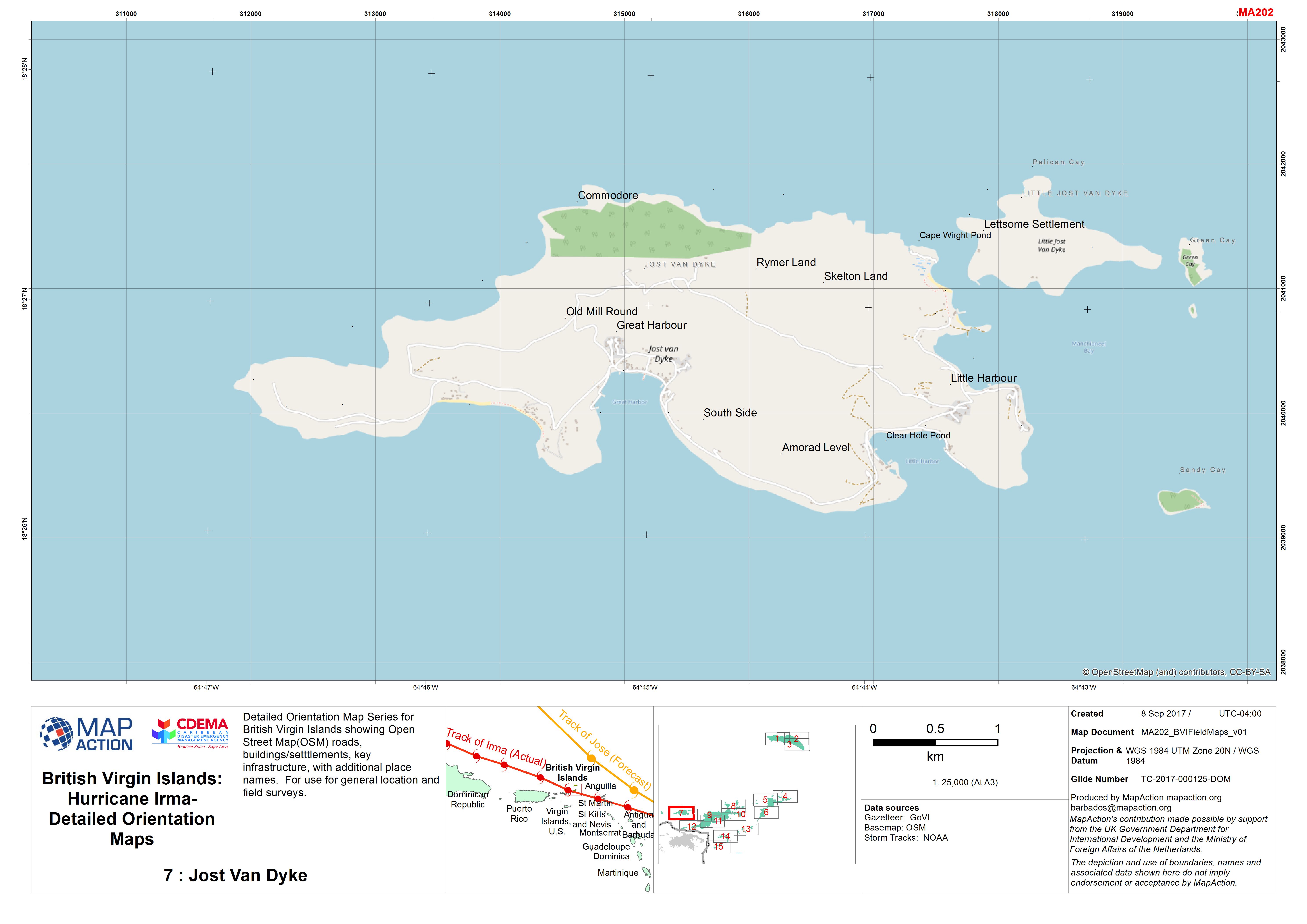
Detailed Orientation Map Series for British Virgin Islands showing Open Street Map(OSM) roads, buildings/setttlements, key infrastructure, with additional place names. For use for...
Source: British Virgin Islands: Hurricane Irma- Detailed Orientation Maps
Additional Information
| Field | Value |
|---|---|
| Data last updated | September 11, 2017 |
| Metadata last updated | September 11, 2017 |
| Created | September 11, 2017 |
| Format | JPEG |
| License | License not specified |
| Has views | True |
| Id | 0a436a63-592f-4364-9522-306c84aefc4c |
| On same domain | True |
| Package id | c7cc53cf-ec8f-4d84-ab6e-20a41f95885e |
| Revision id | 038b2499-6c9c-4d7e-b0b6-590b4ad788dc |
| State | active |
| Url type | upload |
