MA026_Assessment_Prioritistion_analysis_A2Lands ...
From the dataset abstract
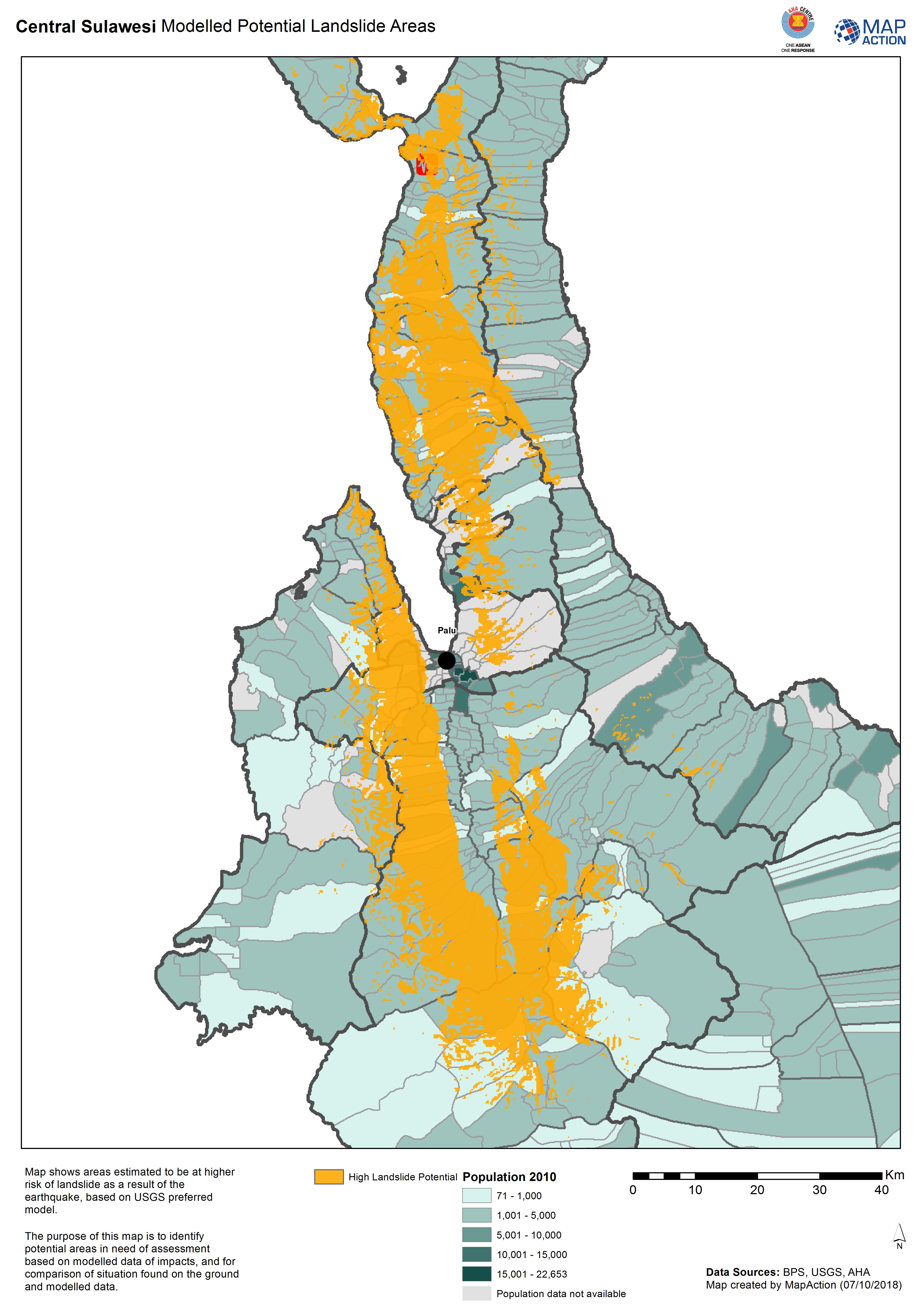
Map shows areas estimated to be at higher risk of landslide as aresult of the earthquake, based on USGS preferred model.
Additional Information
| Field | Value |
|---|---|
| Data last updated | October 7, 2018 |
| Metadata last updated | October 7, 2018 |
| Created | October 7, 2018 |
| Format | JPEG |
| License | License not specified |
| Has views | True |
| Id | 354ec57c-1413-4843-a3f5-103a1d99dc92 |
| On same domain | True |
| Package id | 26b2adf2-2350-4fc7-ab51-fee95e5b6629 |
| Revision id | 12bd75ae-2d24-420c-bf39-ad70abed0811 |
| State | active |
| Url type | upload |