MA008_Palu_Admin4_Boundaries-300dpi.jpeg
From the dataset abstract
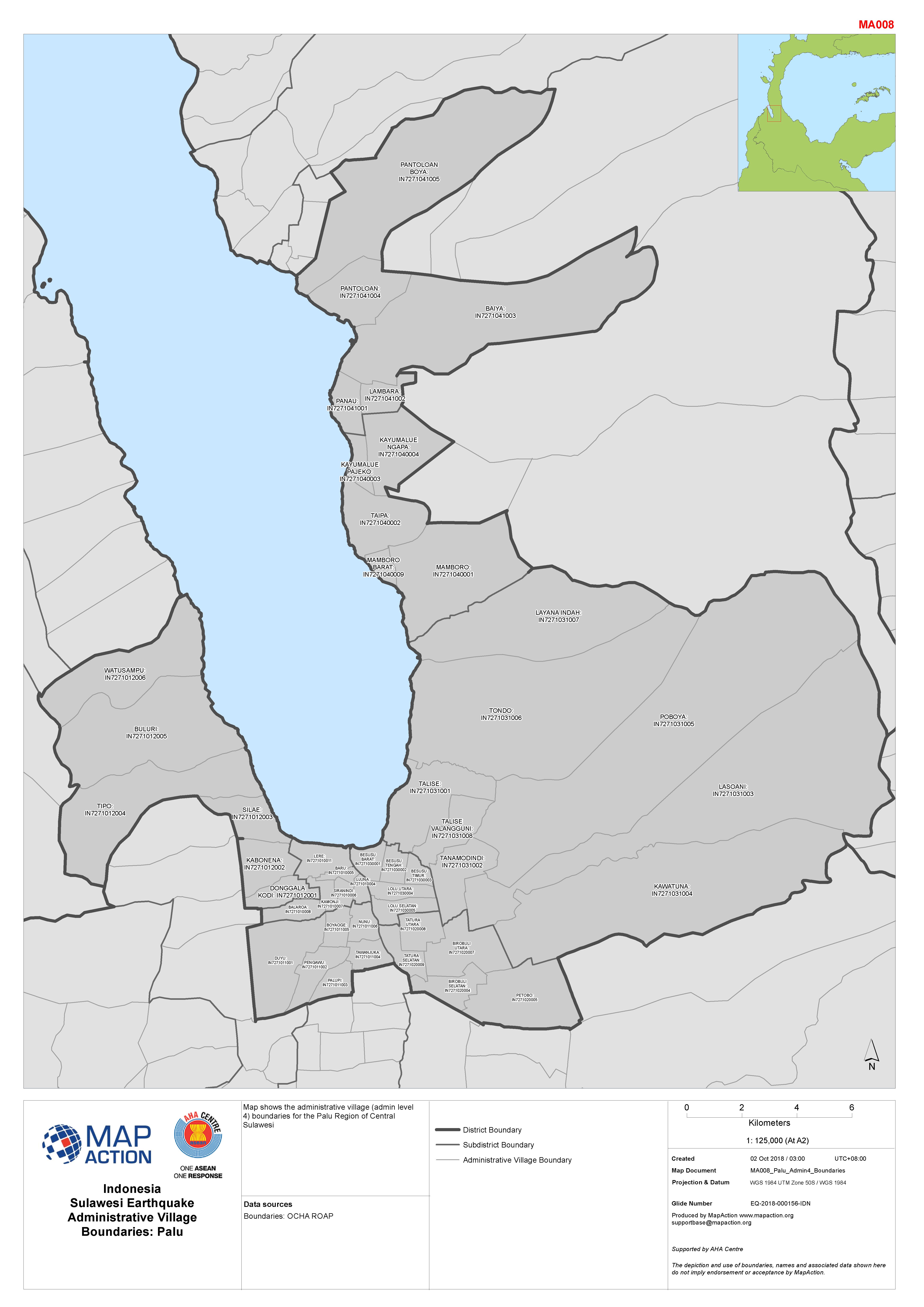
Map shows the administrative village (admin level 4) boundaries for the Palu Region of Central Sulawesi
Source: Indonesia Sulawesi Earthquake Administrative Village Boundaries: Palu
Additional Information
| Field | Value |
|---|---|
| Data last updated | October 2, 2018 |
| Metadata last updated | October 2, 2018 |
| Created | October 2, 2018 |
| Format | JPEG |
| License | License not specified |
| Has views | True |
| Id | c2df2e14-2467-4433-acf4-574210c902b1 |
| On same domain | True |
| Package id | d1aa776b-63f7-47cd-9867-4e56ee161d76 |
| Revision id | 57fa8b8c-ea06-4fb3-a0f9-e05315282343 |
| State | active |
| Url type | upload |