MA004_GUY_REF_POP.jpg
From the dataset abstract
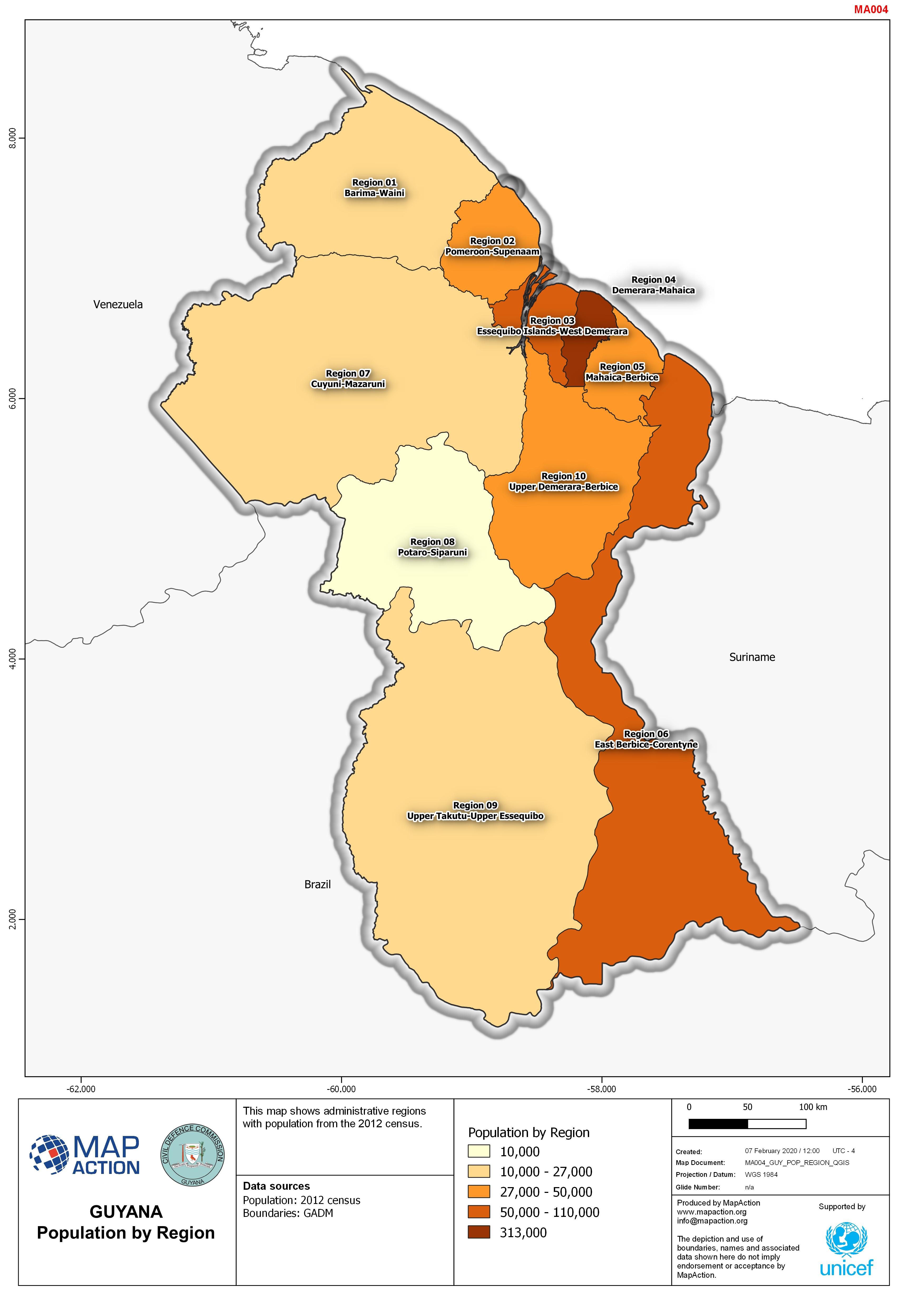
This map shows administrative regions with population from the 2012 census.
Source: Guyana: Population by Region
Additional Information
| Field | Value |
|---|---|
| Data last updated | April 7, 2020 |
| Metadata last updated | April 7, 2020 |
| Created | April 7, 2020 |
| Format | JPEG |
| License | Creative Commons Attribution |
| Has views | True |
| Id | 2964195b-6cf7-4574-b85a-e2ed19bbcf67 |
| Mimetype | image/jpeg |
| On same domain | True |
| Package id | 1cccfbfa-5d79-43f6-916a-18ea219343c6 |
| Revision id | 90ea0f73-b0b2-4163-8c38-f66a07249c3c |
| Size | 792.6 KiB |
| State | active |
| Url type | upload |