MA021 - Sheet 4 - Mastic Point
From the dataset abstract
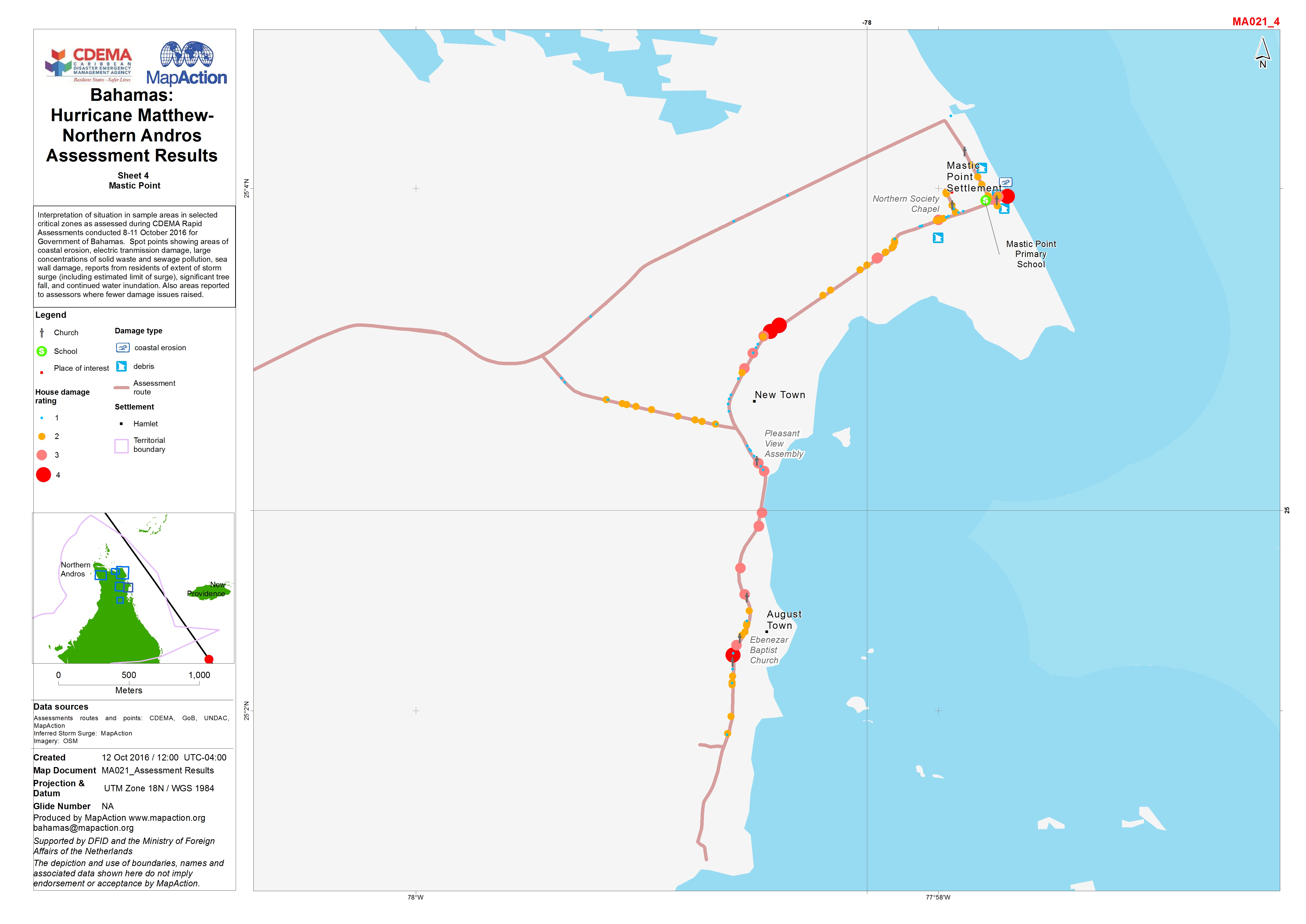
Interpretation of situation in sample areas in selected critical zones as assessed during CDEMA Rapid Assessments conducted 8-11 October 2016 for Government of Bahamas. Spot points...
Source: Bahamas: Hurricane Matthew - Northern Andros Assessment Results
Additional Information
| Field | Value |
|---|---|
| Data last updated | October 26, 2016 |
| Metadata last updated | October 26, 2016 |
| Created | October 26, 2016 |
| Format | JPEG |
| License | License not specified |
| Has views | True |
| Id | f54b8abf-32ee-4641-8680-65ae79ef3334 |
| On same domain | True |
| Package id | f36430b4-1db8-46b4-9af9-c9bbc8d470c9 |
| Position | 4 |
| Revision id | ad74197a-3674-494a-bb01-b369505d200d |
| State | active |
| Url type | upload |