MA009_AssessmentAreas_NP-300dpi.jpeg
From the dataset abstract
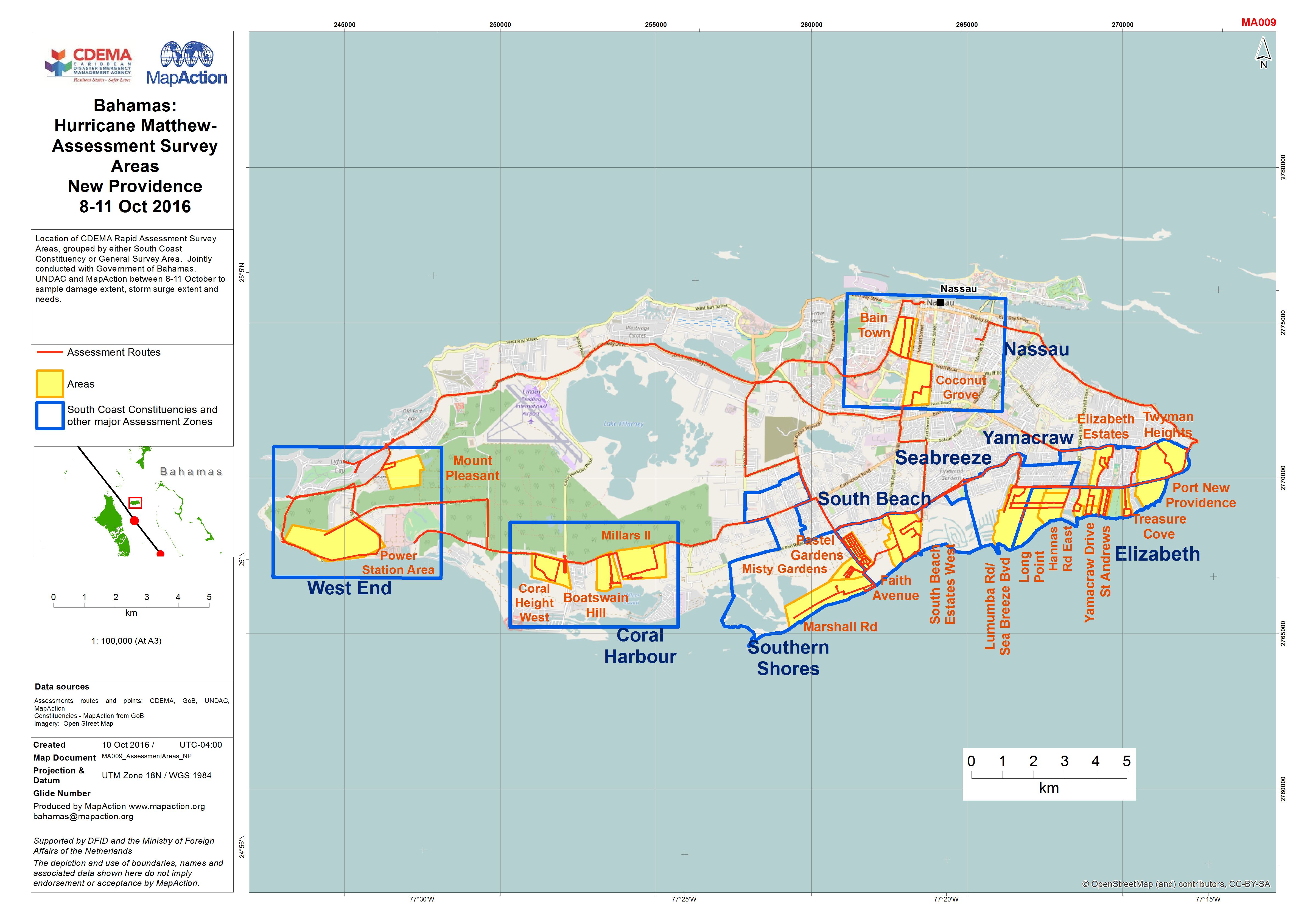
Location of CDEMA Rapid Assessment Survey Areas, grouped by either South Coast Constituency or General Survey Area. Jointly conducted with Government of Bahamas, UNDAC and MapAction...
Source: Bahamas: Hurricane Matthew- Assessment Survey Areas New Providence 8-11 Oct 2016
Additional Information
| Field | Value |
|---|---|
| Data last updated | October 24, 2016 |
| Metadata last updated | October 24, 2016 |
| Created | October 24, 2016 |
| Format | JPEG |
| License | License not specified |
| Has views | True |
| Id | 2ee12e74-ef8e-4b7b-97e2-19dd749c9ba2 |
| On same domain | True |
| Package id | 26f962c0-8f74-49e5-ab50-252503ef82c3 |
| Revision id | 3beebe57-0ec8-45d4-9fad-e25e71e43843 |
| State | active |
| Url type | upload |