MA002_Hurricane_Track-300dpi.jpg
From the dataset abstract
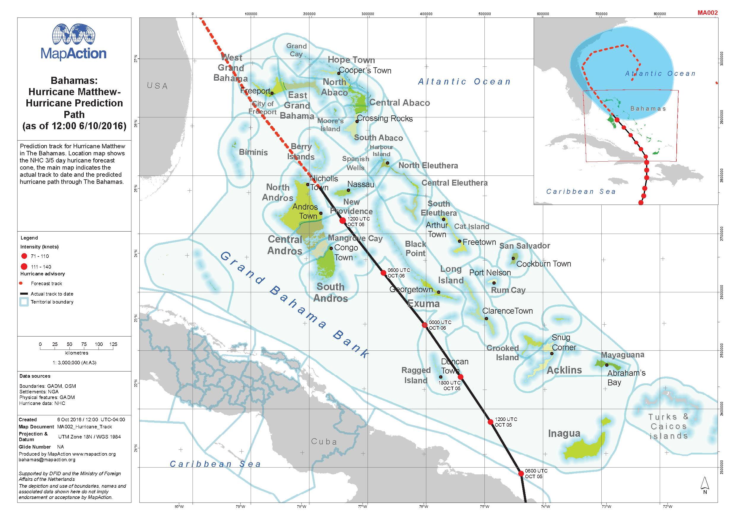
Prediction track for Hurricane Matthew in The Bahamas. Location map shows the NJC 3/5 day hurricane forecast. The main map indicates the actual track to date and the predicted hurricane...
Source: Bahamas: Hurricane Matthew - Hurricane Prediction Path (as of 12:00 6/10/2016)
Additional Information
| Field | Value |
|---|---|
| Data last updated | October 7, 2016 |
| Metadata last updated | October 7, 2016 |
| Created | October 7, 2016 |
| Format | JPEG |
| License | License not specified |
| Has views | True |
| Id | d5201ca8-5c54-4980-bf52-1df9e9b0b258 |
| On same domain | True |
| Package id | 03dc1a9f-2966-4acf-8b3f-a6e463f38159 |
| Revision id | e88a887a-d901-44dc-90b7-4f2836b86953 |
| State | active |
| Url type | upload |