small_T115_19Oct05_situation_overview_high_res.JPG
From the dataset abstract
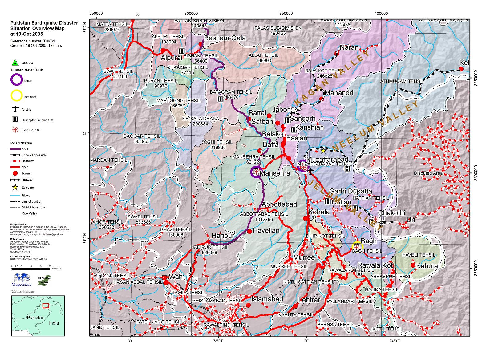
Daily overview map showing known road status and selected towns and localities in affected areas.
Source: Situation overview map
Additional Information
| Field | Value |
|---|---|
| Data last updated | July 4, 2016 |
| Metadata last updated | July 4, 2016 |
| Created | July 4, 2016 |
| Format | JPEG |
| License | License not specified |
| Has views | True |
| Id | b525b9e7-c05c-4b3e-8d2c-521495becd11 |
| On same domain | True |
| Package id | 161dd7a2-0be8-4ded-b09c-a95dc1e22237 |
| Revision id | 83f98b2c-e5bc-45b0-91a1-67f1458b7e51 |
| State | active |
| Url type | upload |