MA003_Location100000_A3_Labasa.jpg
From the dataset abstract
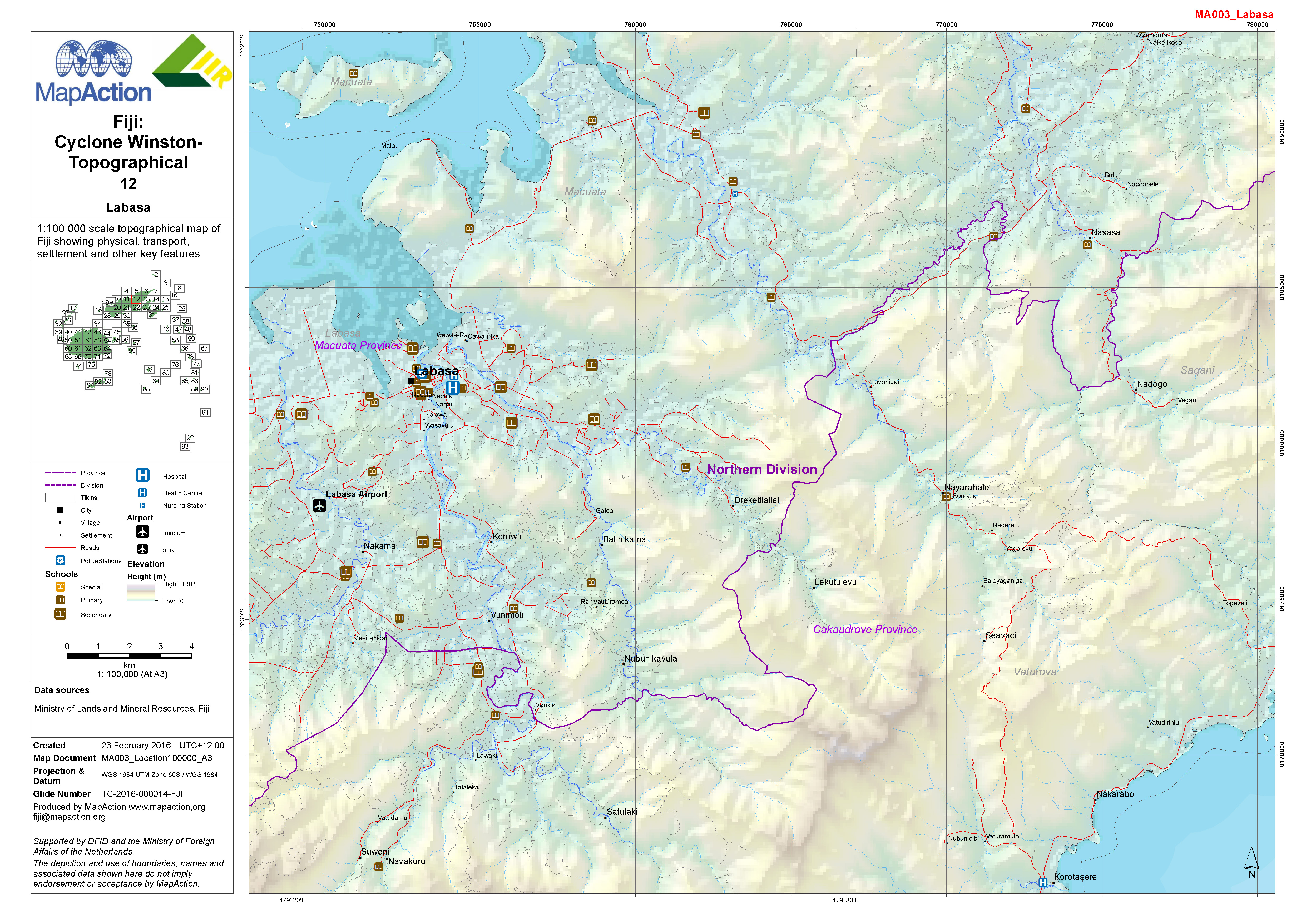
1:100,000 topographical map of Fiji showing physical, transport, settlement and other key features.
Additional Information
| Field | Value |
|---|---|
| Data last updated | July 4, 2016 |
| Metadata last updated | July 4, 2016 |
| Created | July 4, 2016 |
| Format | JPEG |
| License | License not specified |
| Has views | True |
| Id | fb4f7b7b-55dc-4732-b561-bb75321940e8 |
| On same domain | True |
| Package id | fdf96e26-d361-4347-8402-3fd8701b997d |
| Revision id | c701f537-245f-4456-b890-8b423945cf23 |
| State | active |
| Url type | upload |