MA003_Location100000_A3_Sigatoka.jpg
From the dataset abstract
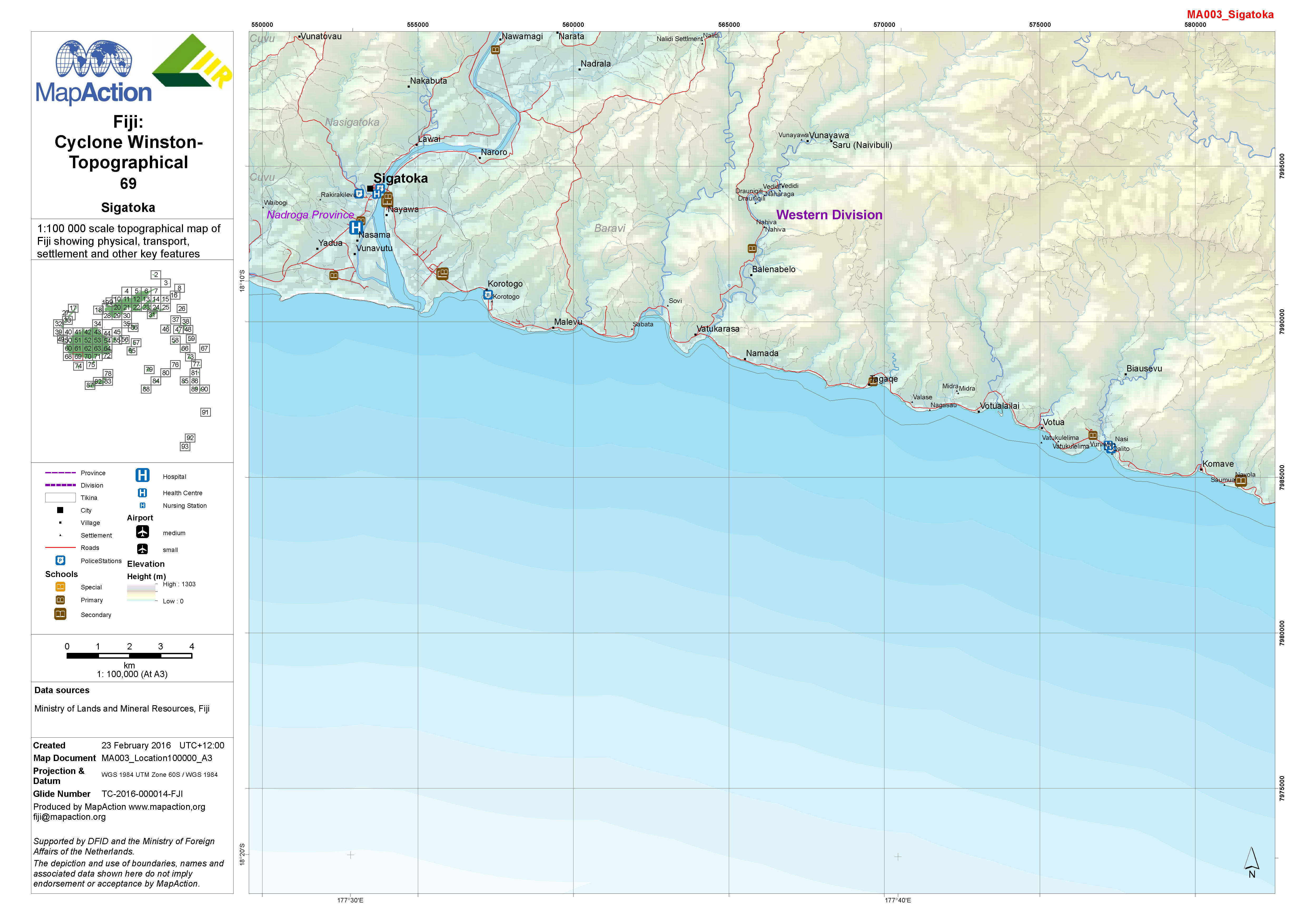
1:100,000 topographical map of Fiji showing physical, transport, settlement and other key features.
Source: Fiji: Cyclone Winston - Topographical - 69 - Sigatoka
Additional Information
| Field | Value |
|---|---|
| Data last updated | July 4, 2016 |
| Metadata last updated | July 4, 2016 |
| Created | July 4, 2016 |
| Format | JPEG |
| License | License not specified |
| Has views | True |
| Id | 200bbbfc-d508-4b6b-a0d9-555302e5c9b3 |
| On same domain | True |
| Package id | e071dd40-3cc6-4b04-9822-9325185e8c5b |
| Revision id | a6b8f62e-d976-439f-8dd6-e73da4098623 |
| State | active |
| Url type | upload |