MA002_Location250000_A3_Rotuma.jpg
From the dataset abstract
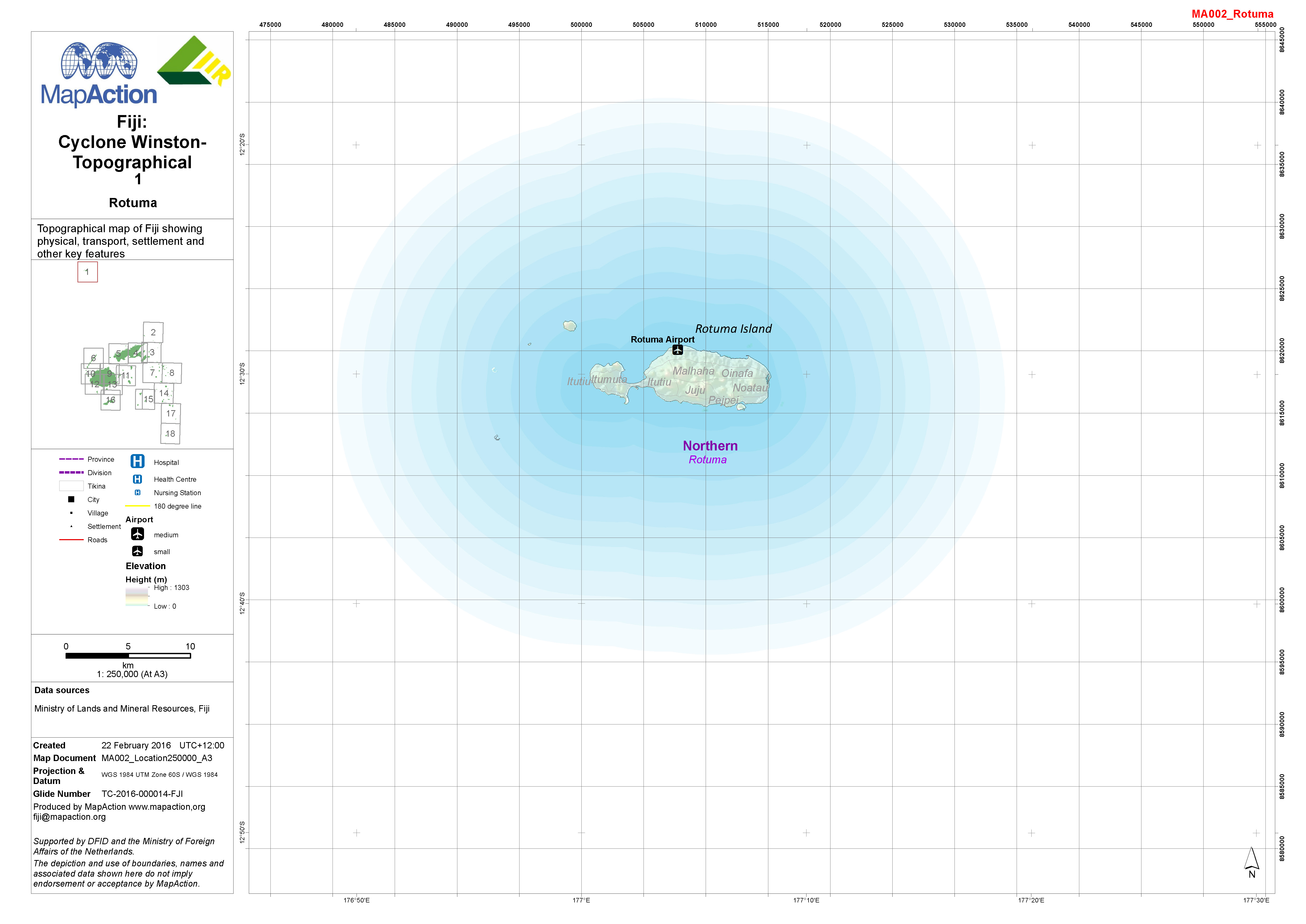
1:250,000 topographical map of Fiji showing physical, transport, settlement and other key features.
Additional Information
| Field | Value |
|---|---|
| Data last updated | July 4, 2016 |
| Metadata last updated | July 4, 2016 |
| Created | July 4, 2016 |
| Format | JPEG |
| License | License not specified |
| Has views | True |
| Id | a3f9837c-bb92-4b73-840b-3d886a705282 |
| On same domain | True |
| Package id | 111a30e6-f212-415a-9912-92b601ab4e18 |
| Revision id | c4b0d382-a4f7-4cb9-b69d-64a318cca96a |
| State | active |
| Url type | upload |