MA001_Location500000_A3_Rotuma.jpg
From the dataset abstract
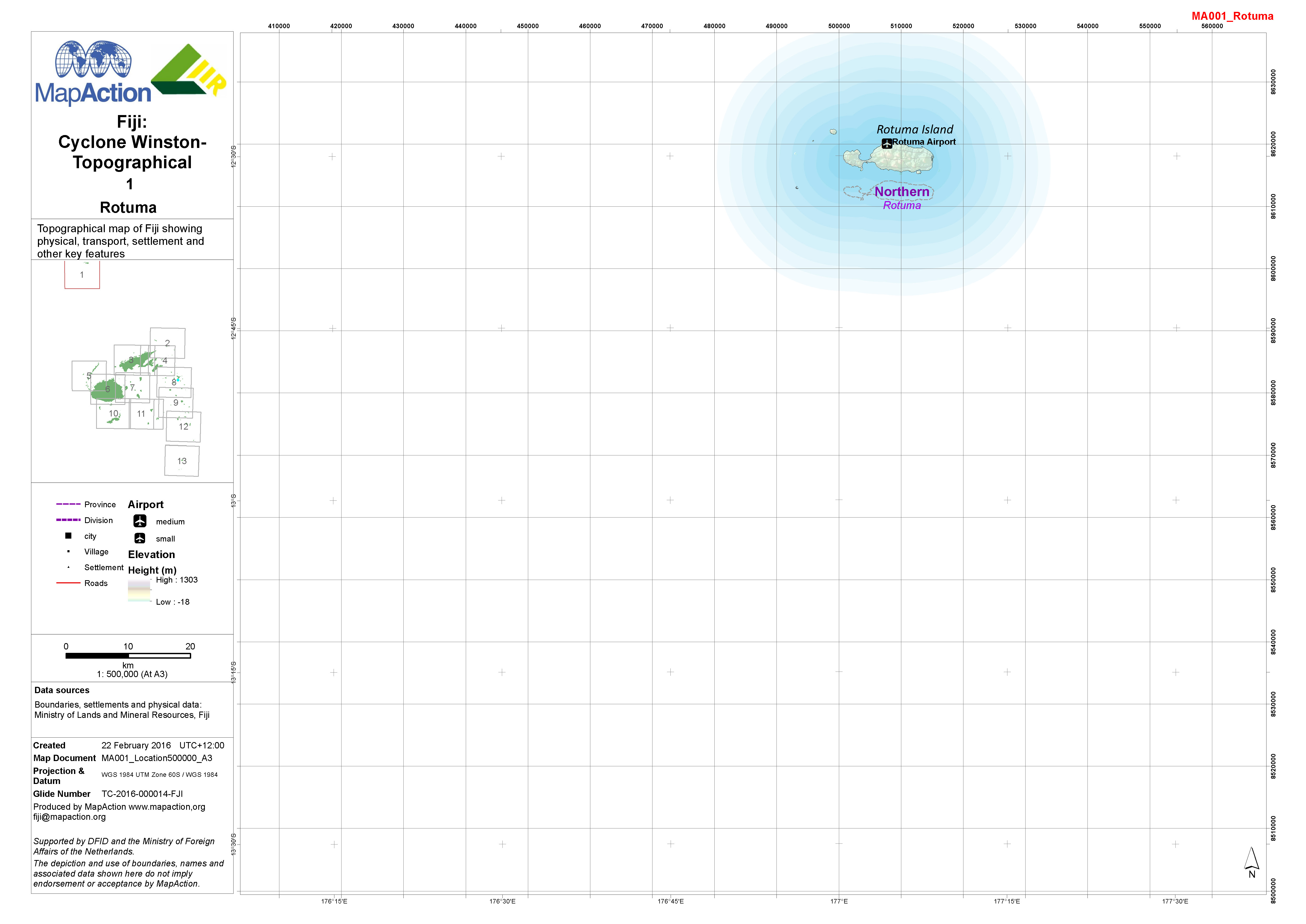
1:500,000 topographical map of Fiji showing physical, transport, settlement and other key features.
Additional Information
| Field | Value |
|---|---|
| Data last updated | July 4, 2016 |
| Metadata last updated | July 4, 2016 |
| Created | July 4, 2016 |
| Format | JPEG |
| License | License not specified |
| Has views | True |
| Id | 68f8e2b8-ece6-48d8-b5c1-9e86b65a737b |
| On same domain | True |
| Package id | c0784f80-c983-4ebf-91b4-1f56e56cb166 |
| Revision id | b2977aa5-e0f0-4e13-a852-60c342a92f95 |
| State | active |
| Url type | upload |