MA012_Yemen_Reference_SW_Coast-300dpi.jpeg
From the dataset abstract
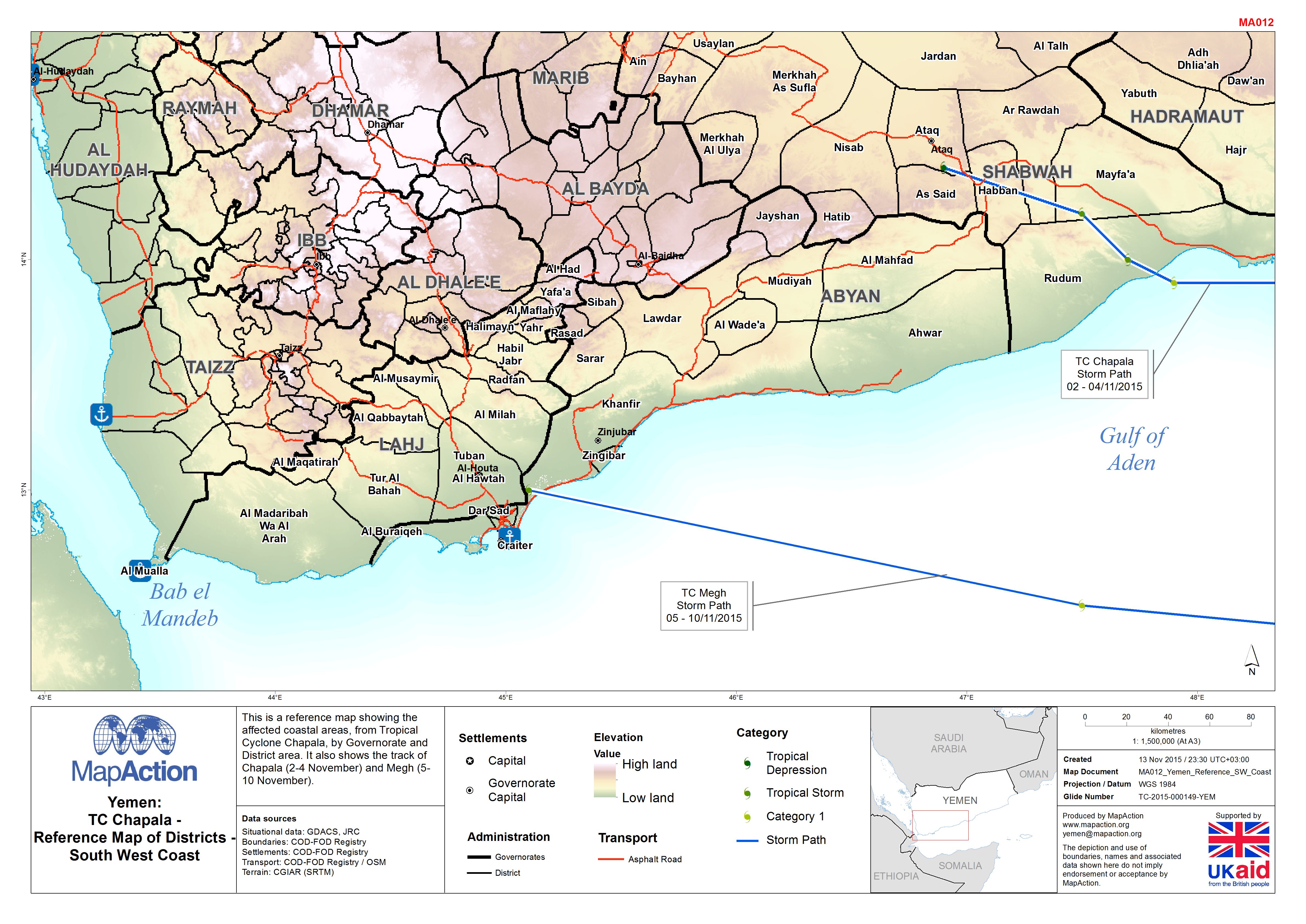
This is a reference map showing the affected coastal areas, from Tropical Cyclone Chapala, by Governorate and District area. It also shows the track of Chapala (2-4 November) and Megh...
Source: Yemen: TC Chapala - Reference Map of Districts - South West Coast
Additional Information
| Field | Value |
|---|---|
| Data last updated | July 4, 2016 |
| Metadata last updated | July 4, 2016 |
| Created | July 4, 2016 |
| Format | JPEG |
| License | License not specified |
| Has views | True |
| Id | 7d6da230-8058-4f70-804e-7efcdb86f86e |
| On same domain | True |
| Package id | 49368662-f3bc-48d8-9542-2d29e93c041f |
| Revision id | 5c2da8d0-723d-4e8b-b9c8-1c150753b7f2 |
| State | active |
| Url type | upload |