MA203F_V01_RasuwaPopulation_A3-300dpi.jpeg
From the dataset abstract
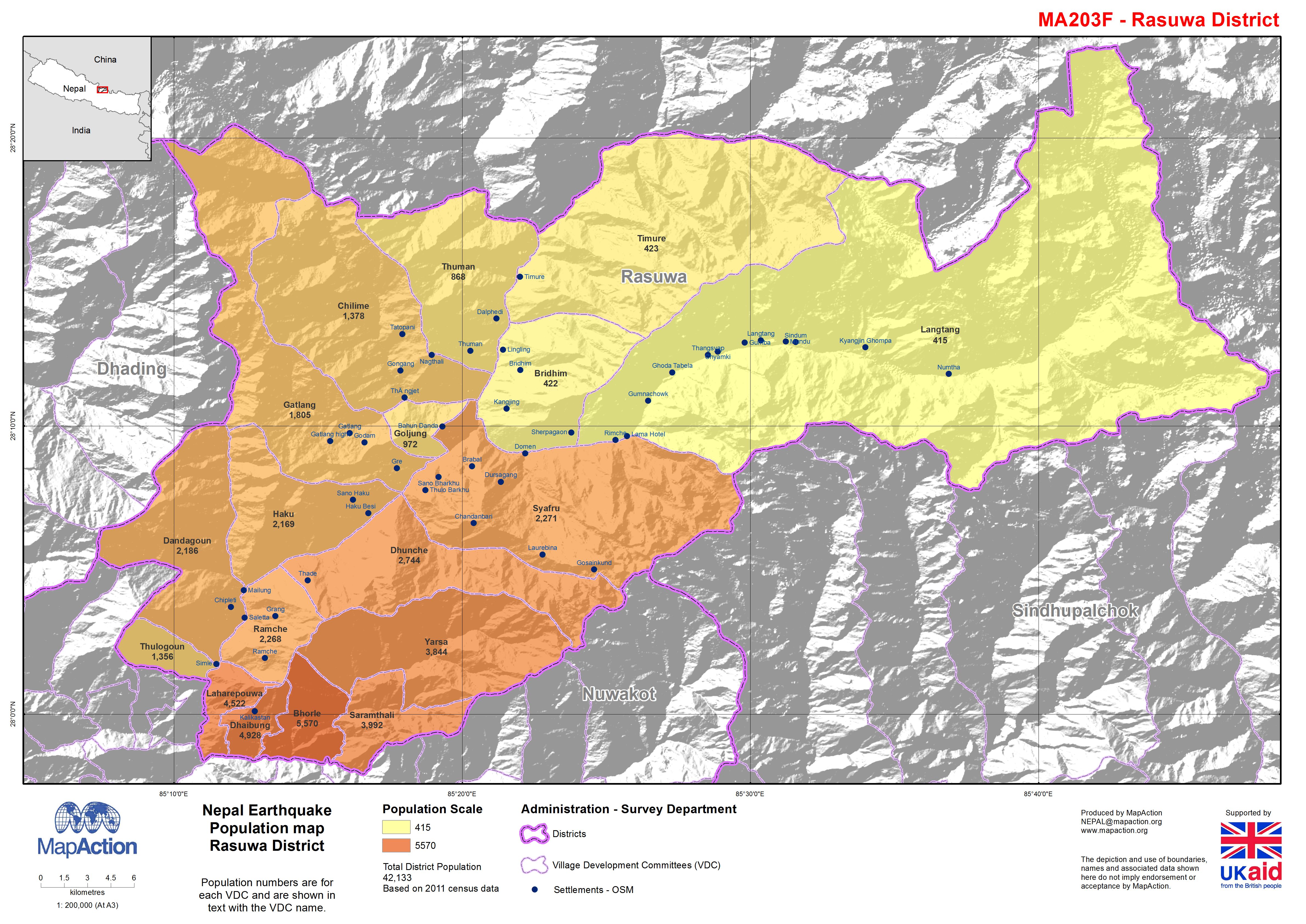
Map shows population by Village Development Communities, hill shaded relief and some settlement information.
Additional Information
| Field | Value |
|---|---|
| Data last updated | July 4, 2016 |
| Metadata last updated | July 4, 2016 |
| Created | July 4, 2016 |
| Format | JPEG |
| License | License not specified |
| Has views | True |
| Id | 596d080c-9069-47a7-a893-0678f3be0430 |
| On same domain | True |
| Package id | d7766b55-e359-4ef4-94b9-a1ba0948fc3a |
| Revision id | 137ed184-6d15-445d-b04e-bccebecde15b |
| State | active |
| Url type | upload |