MA006_T00P00C00_Antofagasta_pop-300dpi.jpeg
From the dataset abstract
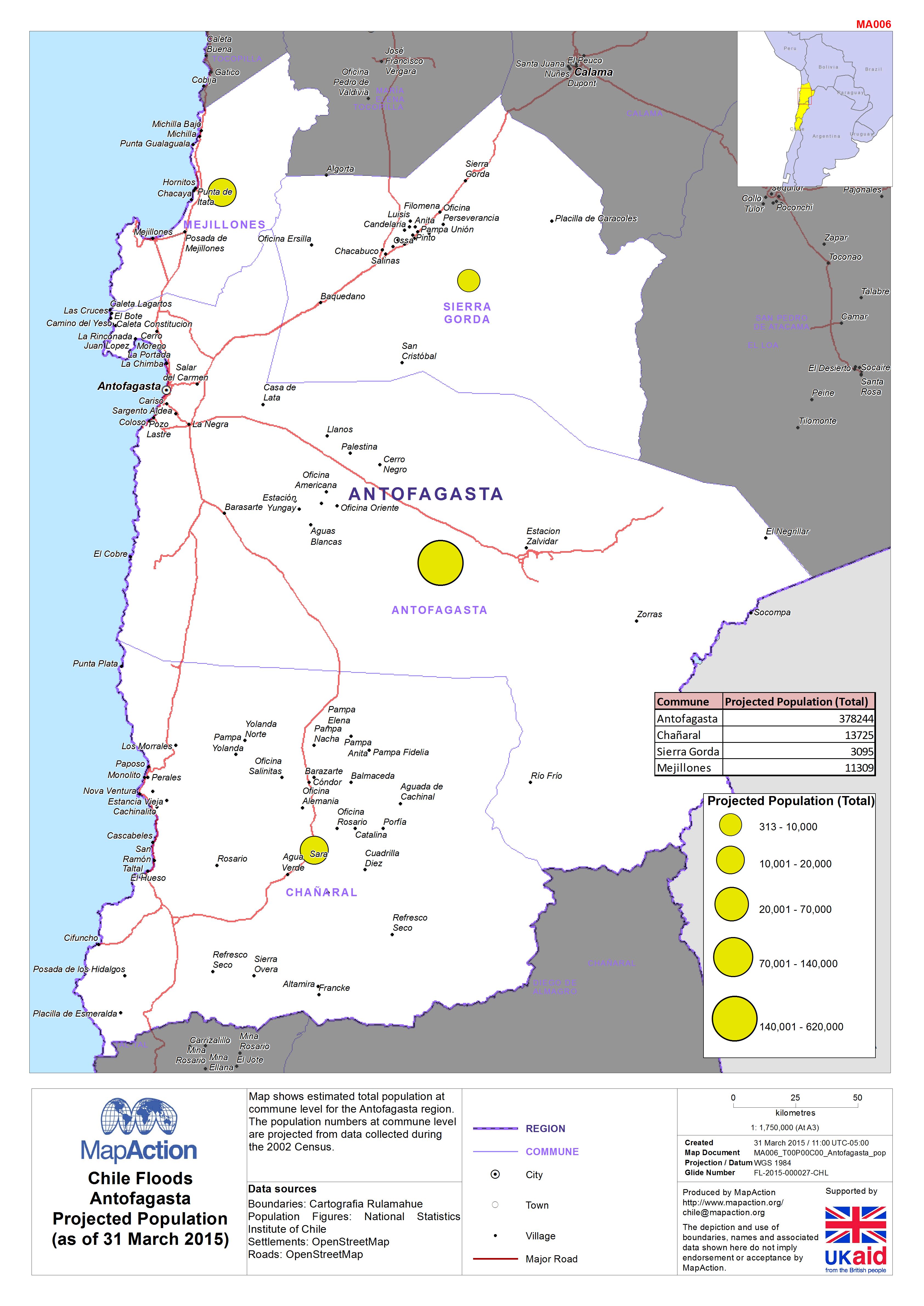
Map shows estimated total population at commune level for the Antofagasta region. The population numbers at commune level are projected from data collected during the 2002 Census.
Source: Chile: Floods - Antofagasta Projected Population (as of 31 March 2015)
Additional Information
| Field | Value |
|---|---|
| Data last updated | July 4, 2016 |
| Metadata last updated | July 4, 2016 |
| Created | July 4, 2016 |
| Format | JPEG |
| License | License not specified |
| Has views | True |
| Id | 4f39ccaf-90c8-40d2-800f-a23f8e4cebdb |
| On same domain | True |
| Package id | dc7c84e8-a10d-4a29-b380-a7005ea9bed6 |
| Revision id | a5259220-eebb-41a7-a359-730596c89d87 |
| State | active |
| Url type | upload |