MA003_T00P00C00_Antofagasta_hydro-300dpi.jpeg
From the dataset abstract
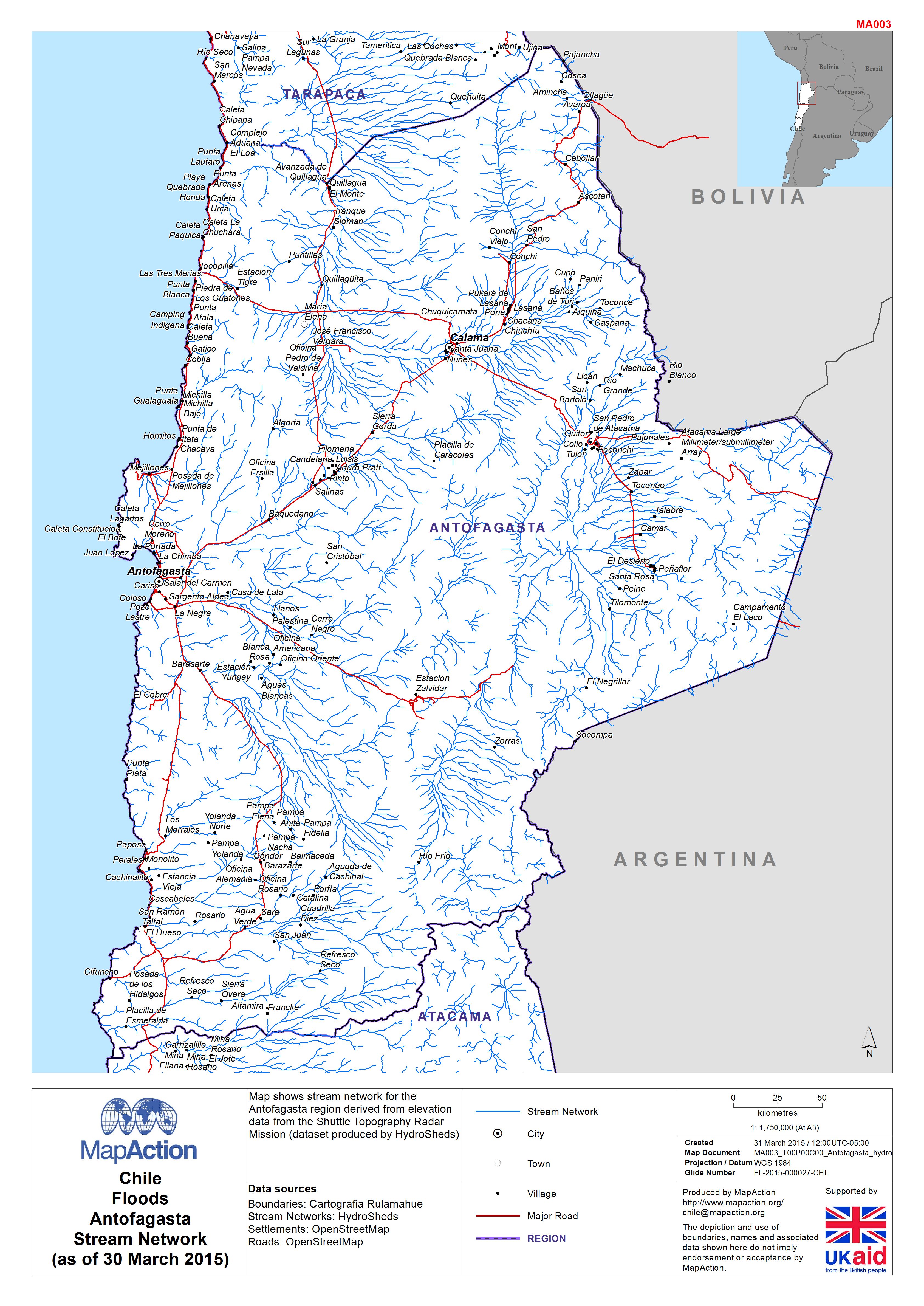
Map shows stream network for the Antofagasta region derived from elevation data from the Shuttle Topography Radar Mission (dataset produced by HydroSheds)
Source: Chile: Floods - Antofagasta Stream Network(as of 30 March 2015)
Additional Information
| Field | Value |
|---|---|
| Data last updated | July 4, 2016 |
| Metadata last updated | July 4, 2016 |
| Created | July 4, 2016 |
| Format | JPEG |
| License | License not specified |
| Has views | True |
| Id | fc037a72-bd48-4c53-9028-ccd92e9113a1 |
| On same domain | True |
| Package id | 69b1ba9e-849a-4796-aa8b-2d09c3e0bff0 |
| Revision id | 005f9cd1-2158-4ef3-90ef-eb94c25b3ee9 |
| State | active |
| Url type | upload |