MA066_3wwwNFI-300dpi.jpeg
From the dataset abstract
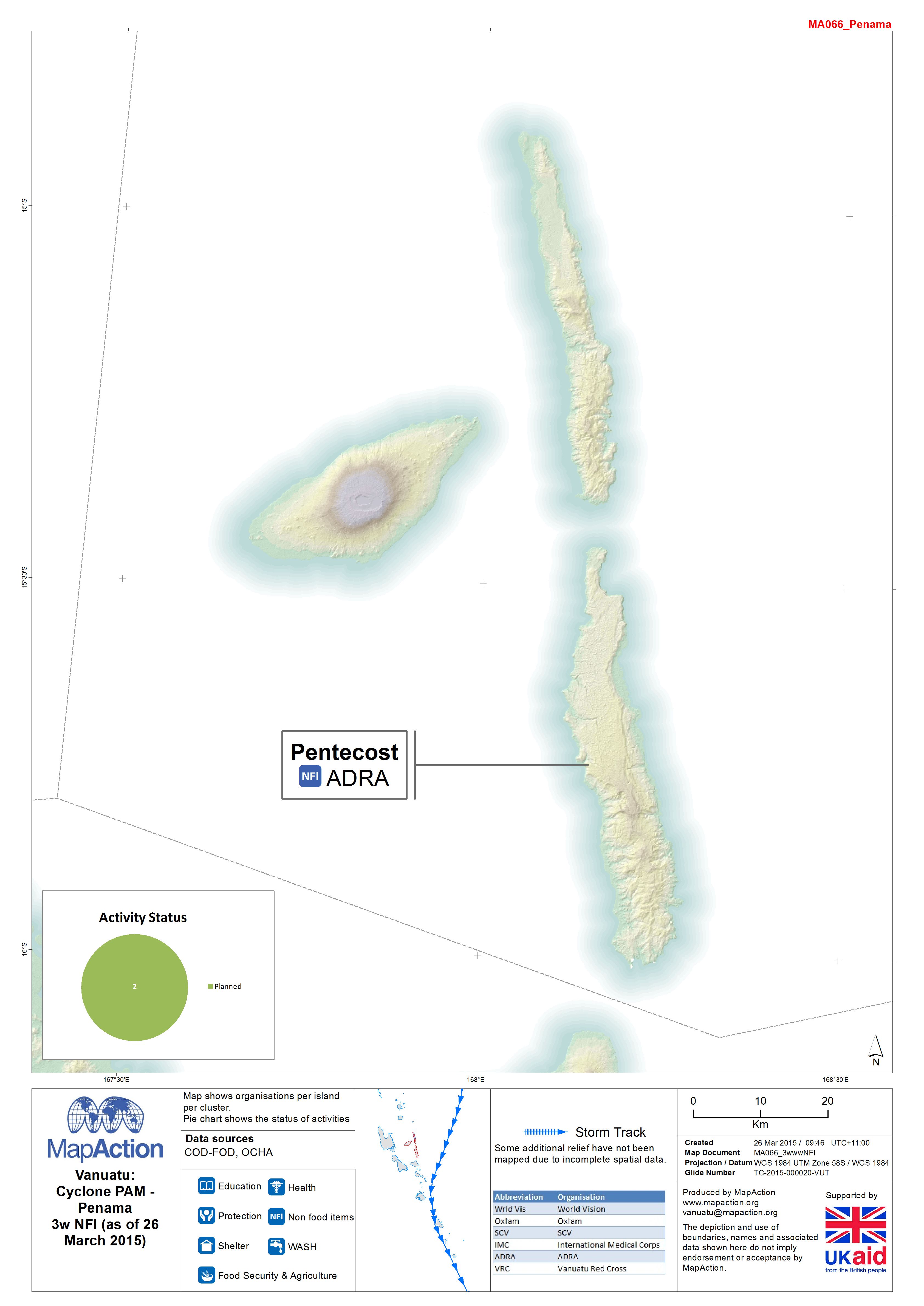
Map shows organisations per island per cluster. Pie chart shows the status of activities
Additional Information
| Field | Value |
|---|---|
| Data last updated | July 4, 2016 |
| Metadata last updated | July 4, 2016 |
| Created | July 4, 2016 |
| Format | JPEG |
| License | License not specified |
| Has views | True |
| Id | 6c3ea964-6a95-4a72-af30-495a6416cca7 |
| On same domain | True |
| Package id | af5a8b9b-f0bc-41fc-90f8-9eef50683636 |
| Revision id | 036f0d76-4c53-459d-83e1-8a55bba38ff4 |
| State | active |
| Url type | upload |