MA037_Port_Vila_Assessments-300dpi.jpeg
From the dataset abstract
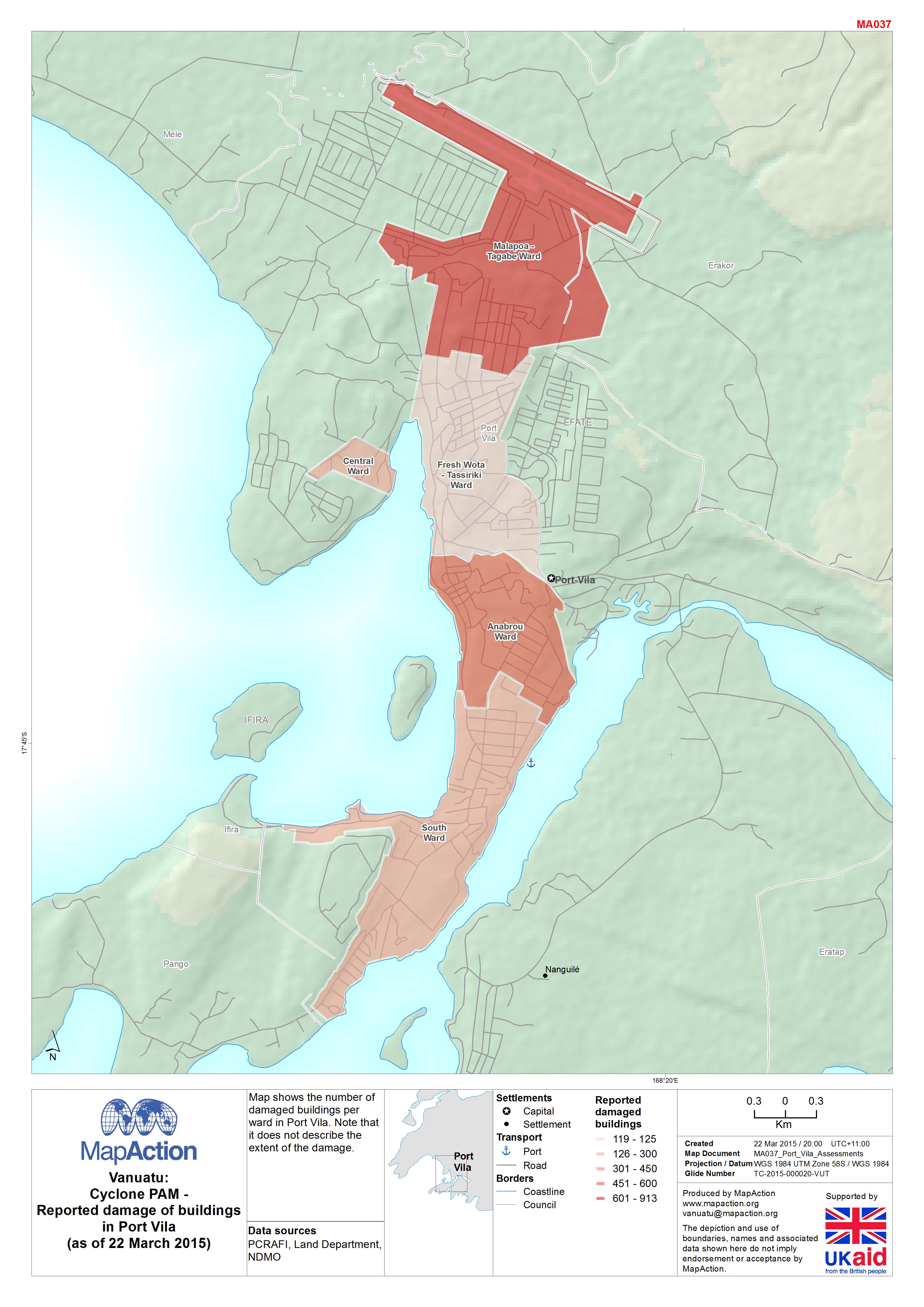
Map shows the number of damaged buildings per ward in Port Vila. Note that it does not describe the extent of the damage.
Source: Vanuatu: Cyclone PAM - Reported damage of buildings in Port Vila(as of 22 March 2015)
Additional Information
| Field | Value |
|---|---|
| Data last updated | July 4, 2016 |
| Metadata last updated | July 4, 2016 |
| Created | July 4, 2016 |
| Format | JPEG |
| License | License not specified |
| Has views | True |
| Id | 29b56252-880b-44ff-a724-66007a8b5527 |
| On same domain | True |
| Package id | bf5e8338-e562-4c0f-a29d-8020671d43fb |
| Revision id | dadb444d-b6ef-4656-89b4-75ac1c03316d |
| State | active |
| Url type | upload |