MA002_T00P00C00_SchoolsPhalombeDistrict.jpg
From the dataset abstract
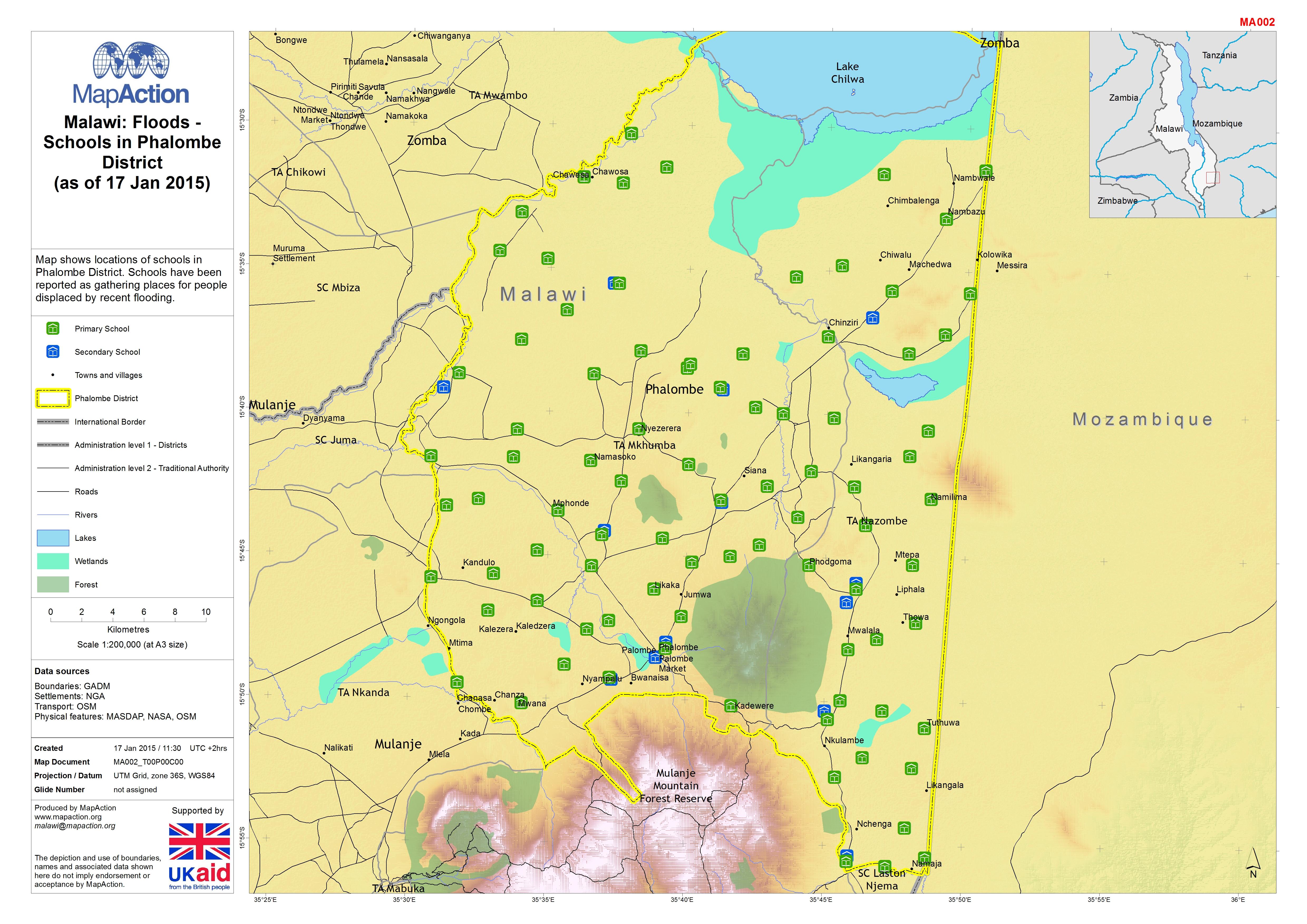
Map shows locations of schools in Phalombe District. Schools have been reported as gathering places for people displaced by recent flooding.
Source: Malawi: Floods - Schools in Phalombe District (as of 17 Jan 2015)
Additional Information
| Field | Value |
|---|---|
| Data last updated | July 4, 2016 |
| Metadata last updated | July 4, 2016 |
| Created | July 4, 2016 |
| Format | JPEG |
| License | License not specified |
| Has views | True |
| Id | b1496002-ceee-47da-b5c1-67c70b4d1277 |
| On same domain | True |
| Package id | 8338af70-8886-4d01-9acb-899f6d900af5 |
| Revision id | 03f4ef1b-4bdd-4994-9c69-cbf22faef04e |
| State | active |
| Url type | upload |