MA003_TansportOverview_v2-300dpi.jpeg
From the dataset abstract
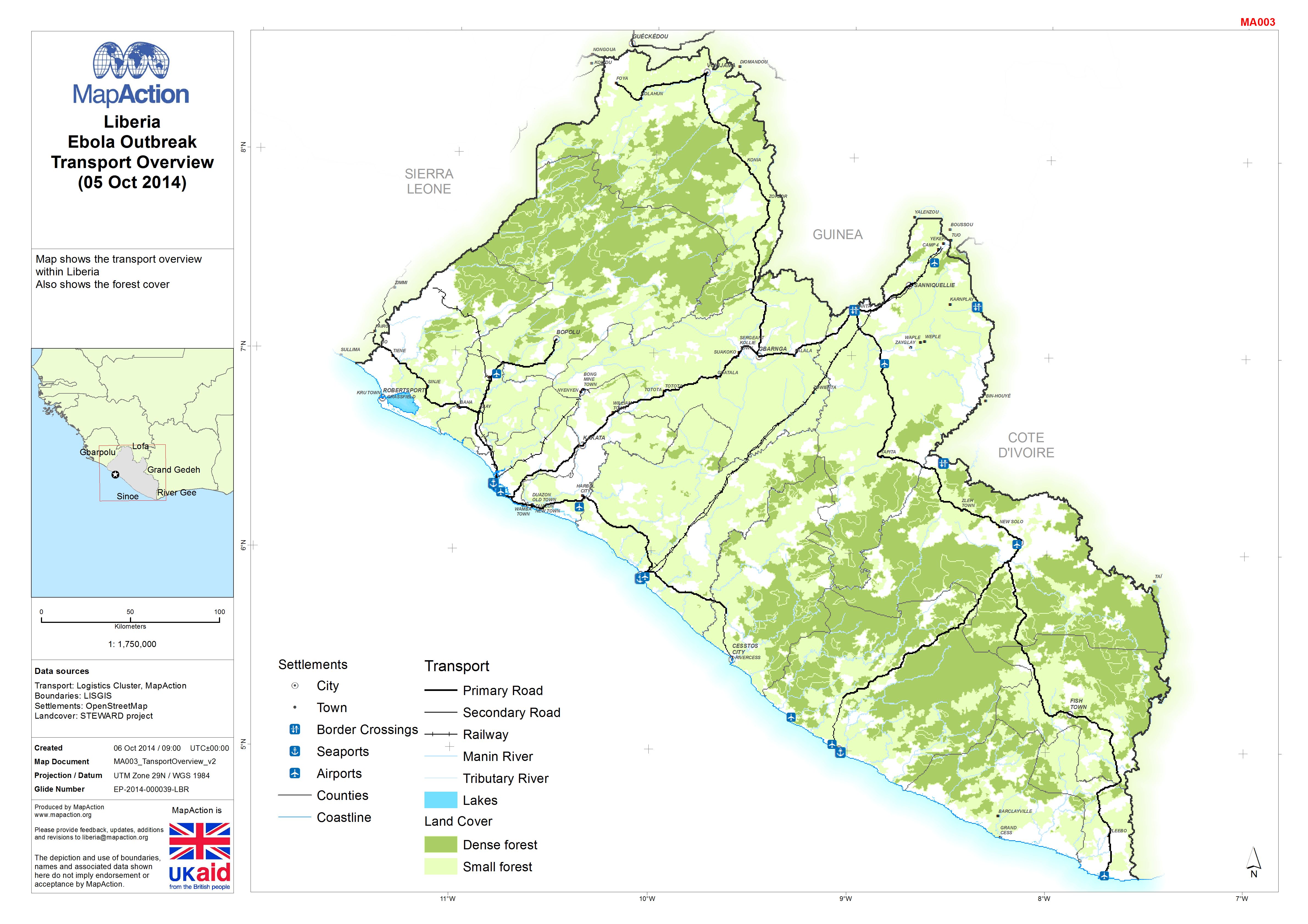
Map shows transport overview within Liberia. Also shows the forest cover.
Source: Liberia: Ebola Outbreak - Transport Overview(05 Oct 2014)
Additional Information
| Field | Value |
|---|---|
| Data last updated | July 4, 2016 |
| Metadata last updated | July 4, 2016 |
| Created | July 4, 2016 |
| Format | JPEG |
| License | License not specified |
| Has views | True |
| Id | 8d357f6e-ac2c-42e0-b504-dd5eaa266430 |
| On same domain | True |
| Package id | aa155ccd-4f90-485a-b866-bacd37c87c65 |
| Revision id | c01cb328-b4b8-4a5f-abe2-670ec402747d |
| State | active |
| Url type | upload |