MA013k_EvacuationMasbateSorsogon_v01-300dpi.jpeg
From the dataset abstract
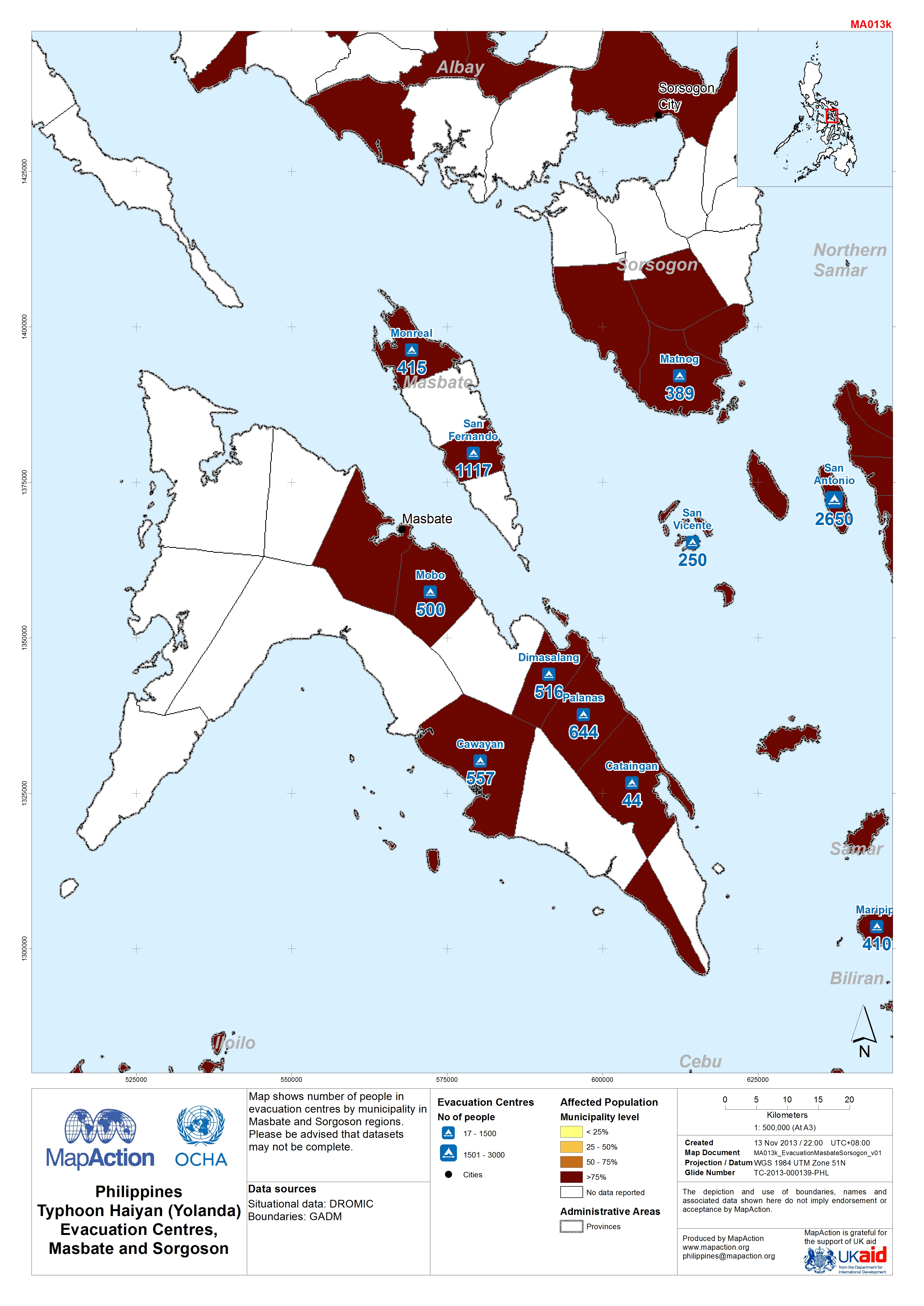
Map shows number of people in evacuation centres by municipality in Masbate and Sorgoson regions.Please be advised that datasets may not be complete.
Source: Philippines Typhoon Haiyan (Yolanda) Evacuation Centres in Masbate and Sorgoson (as of 12-Nov-2013)
Additional Information
| Field | Value |
|---|---|
| Data last updated | July 4, 2016 |
| Metadata last updated | July 4, 2016 |
| Created | July 4, 2016 |
| Format | JPEG |
| License | License not specified |
| Has views | True |
| Id | e52eda6a-a051-4906-8feb-ea61937293d7 |
| On same domain | True |
| Package id | 3e8fe439-b530-42d4-84d0-ada30ee60b2d |
| Revision id | 969f6ba1-37ba-4d99-9cdb-103569bc469a |
| State | active |
| Url type | upload |