MA006_PotentialEnvHazards_Tacloban_v01-300dpi.jpeg
From the dataset abstract
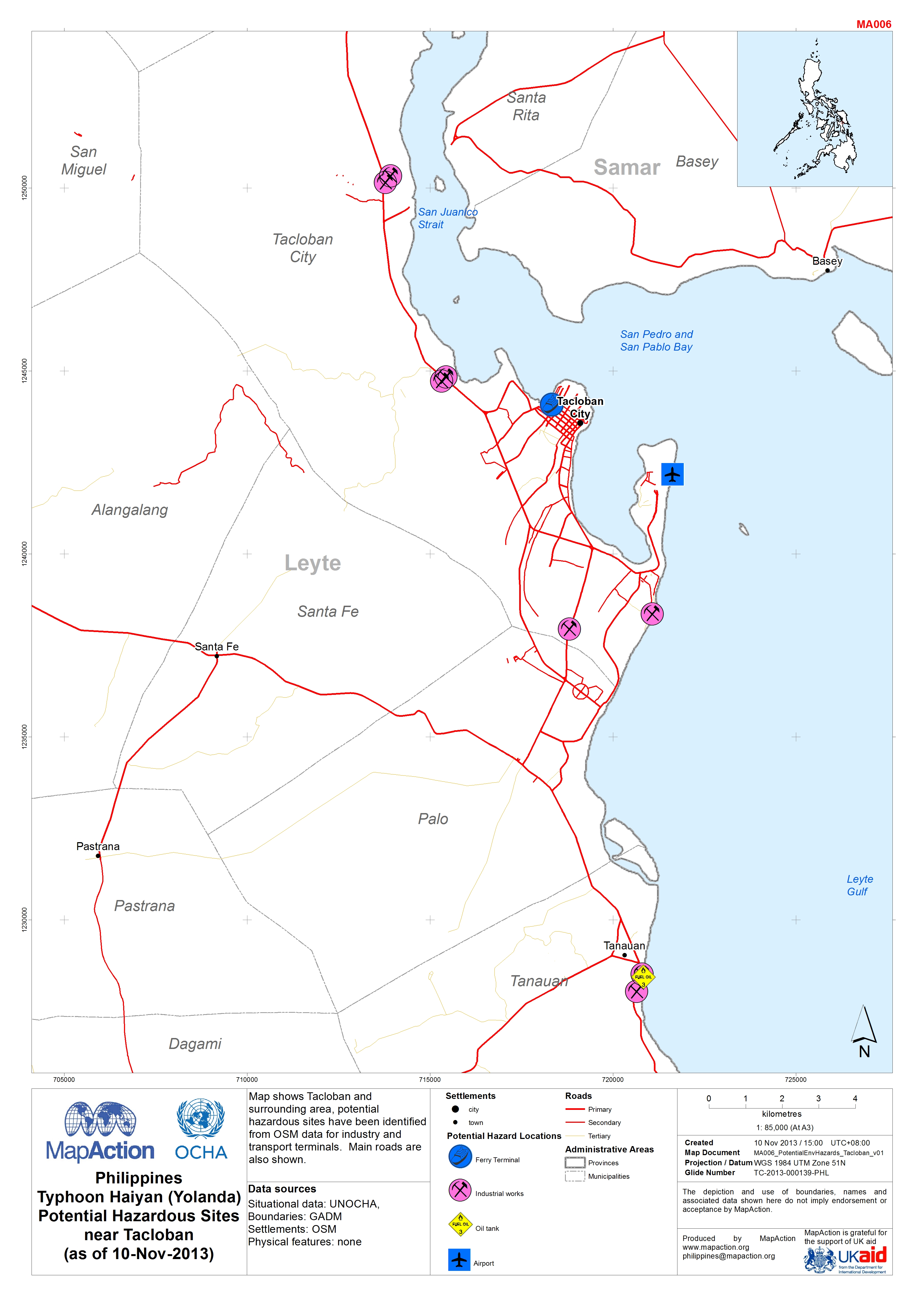
Map shows Tacloban and surrounding area, potential hazardous sites have been identified from OSM data for industry and transport terminals. Main roads are also shown.
Source: Philippines Typhoon Haiyan (Yolanda) Potential Hazardous Sites near Tacloban (as of 10 Nov 2013)
Additional Information
| Field | Value |
|---|---|
| Data last updated | July 4, 2016 |
| Metadata last updated | July 4, 2016 |
| Created | July 4, 2016 |
| Format | JPEG |
| License | License not specified |
| Has views | True |
| Id | 0988688f-a115-4acc-aada-29eb7ae6382d |
| On same domain | True |
| Package id | 1392d7fa-99b1-457e-91fe-7873a443eea7 |
| Revision id | 834704af-cf3b-44b0-8758-d9f5ca7809c5 |
| State | active |
| Url type | upload |