MA5007_SyriaDistrictMaps_P19_TellAbiad.jpg
From the dataset abstract
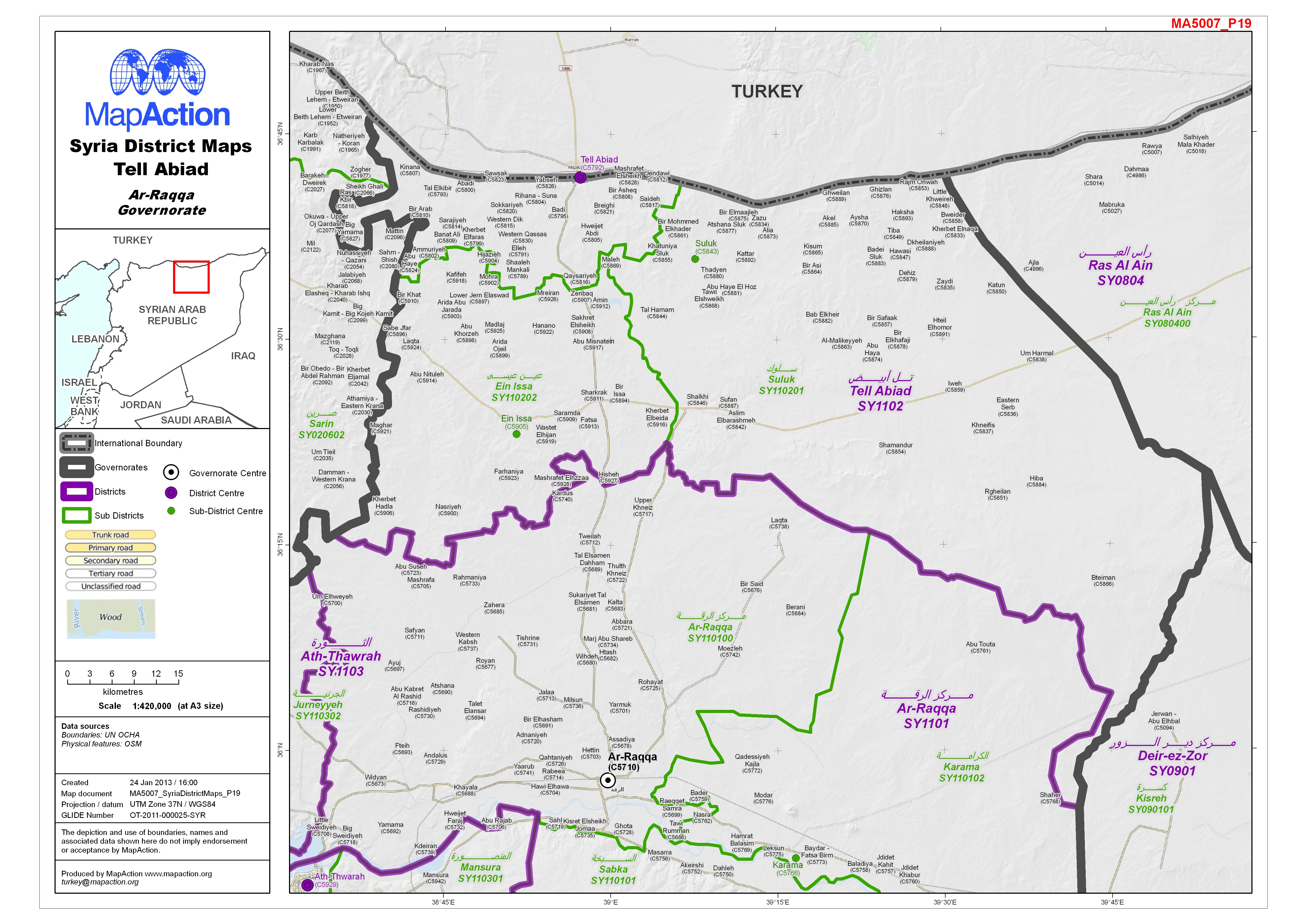
Map of Tell Abiad District in Ar-Raqqa Governorate, Syria, showing sub-district boundaries over basemap (includes District and Sub-District names in English and Arabic with P-Codes)
Source: Syria - District Maps: Tell Abiad District in Ar-Raqqa Governorate
Additional Information
| Field | Value |
|---|---|
| Data last updated | July 4, 2016 |
| Metadata last updated | July 4, 2016 |
| Created | July 4, 2016 |
| Format | JPEG |
| License | License not specified |
| Has views | True |
| Id | 5617a740-04e6-441a-871a-33d1f9b44b08 |
| On same domain | True |
| Package id | 5a81f539-491f-43e3-81b0-754920c78746 |
| Revision id | c5c10849-a301-4732-837f-947ace2bad8d |
| State | active |
| Url type | upload |