MA5007_SyriaDistrictMaps_P41_Tadmor.jpg
From the dataset abstract
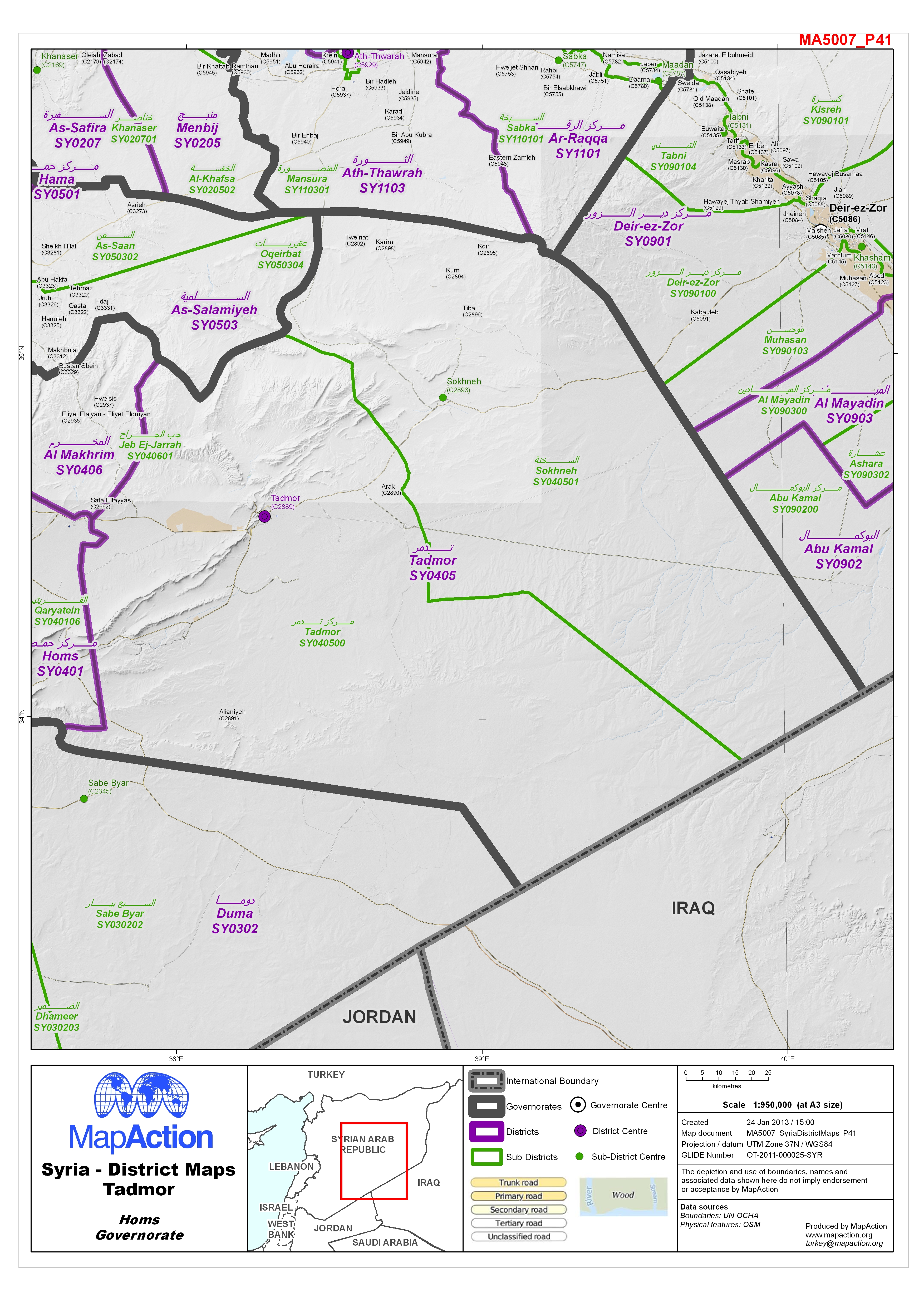
Map of Tadmor District in Homs Governorate, Syria, showing sub-district boundaries over basemap (includes District and Sub-District names in English and Arabic with P-Codes)
Source: Syria - District Maps: Tadmor District in Homs Governorate
Additional Information
| Field | Value |
|---|---|
| Data last updated | July 4, 2016 |
| Metadata last updated | July 4, 2016 |
| Created | July 4, 2016 |
| Format | JPEG |
| License | License not specified |
| Has views | True |
| Id | b73eaa0b-c9ba-4b28-be9f-06927ac93d47 |
| On same domain | True |
| Package id | aa6fe344-8857-45d8-bb65-812253c2c662 |
| Revision id | b80829cb-f44b-423b-9f53-9775c6c2e9ad |
| State | active |
| Url type | upload |