2756.jpg
From the dataset abstract
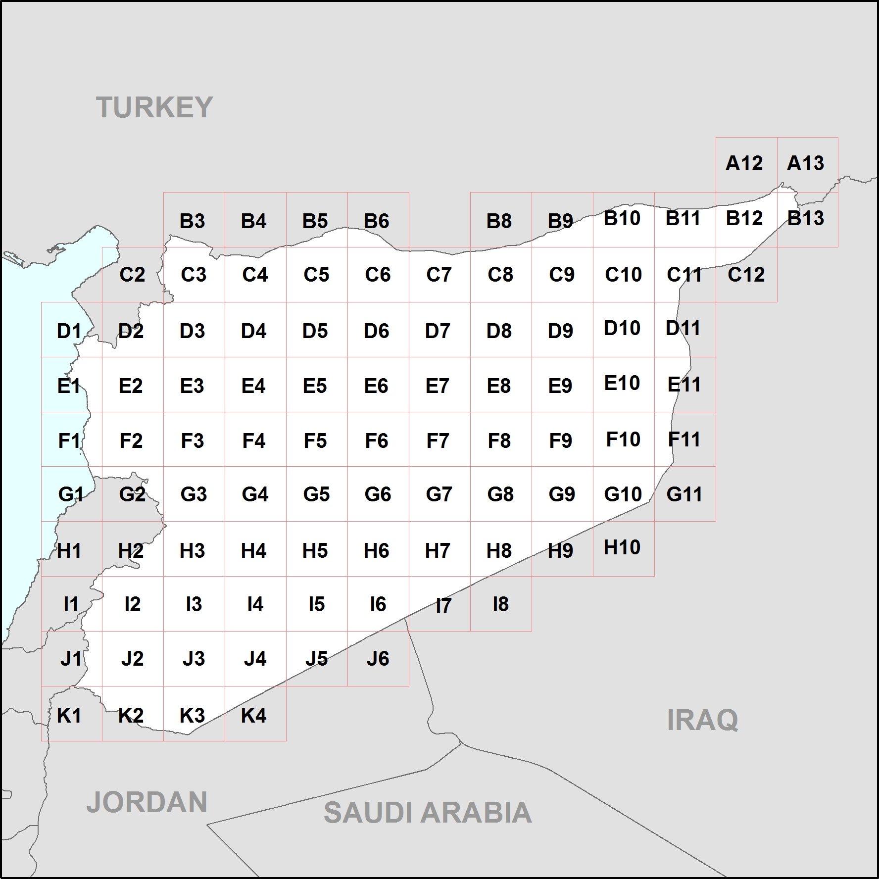
The following is a P-code atlas of Syria, containing 95 maps at 1:200,000 showing administrative boundaries (Mohafaza - Level 1, Mantika - level 2 and Nahaya - Level 3) and settlements....
Source: P-code Atlas of Syria (Arabic)
Additional Information
| Field | Value |
|---|---|
| Data last updated | July 4, 2016 |
| Metadata last updated | July 4, 2016 |
| Created | July 4, 2016 |
| Format | JPEG |
| License | License not specified |
| Has views | True |
| Id | b2e58817-f3cc-4b11-96f7-cf2d7386b0ee |
| On same domain | True |
| Package id | b9bf08f2-ece8-43aa-8c40-167f88b14fb6 |
| Position | 2 |
| Revision id | 8241dac7-0a17-4b00-9a9e-2645019ea797 |
| State | active |
| Url type | upload |