MA012_T00C01P00_COM_ReferenceMap-300dpi.jpg
From the dataset abstract
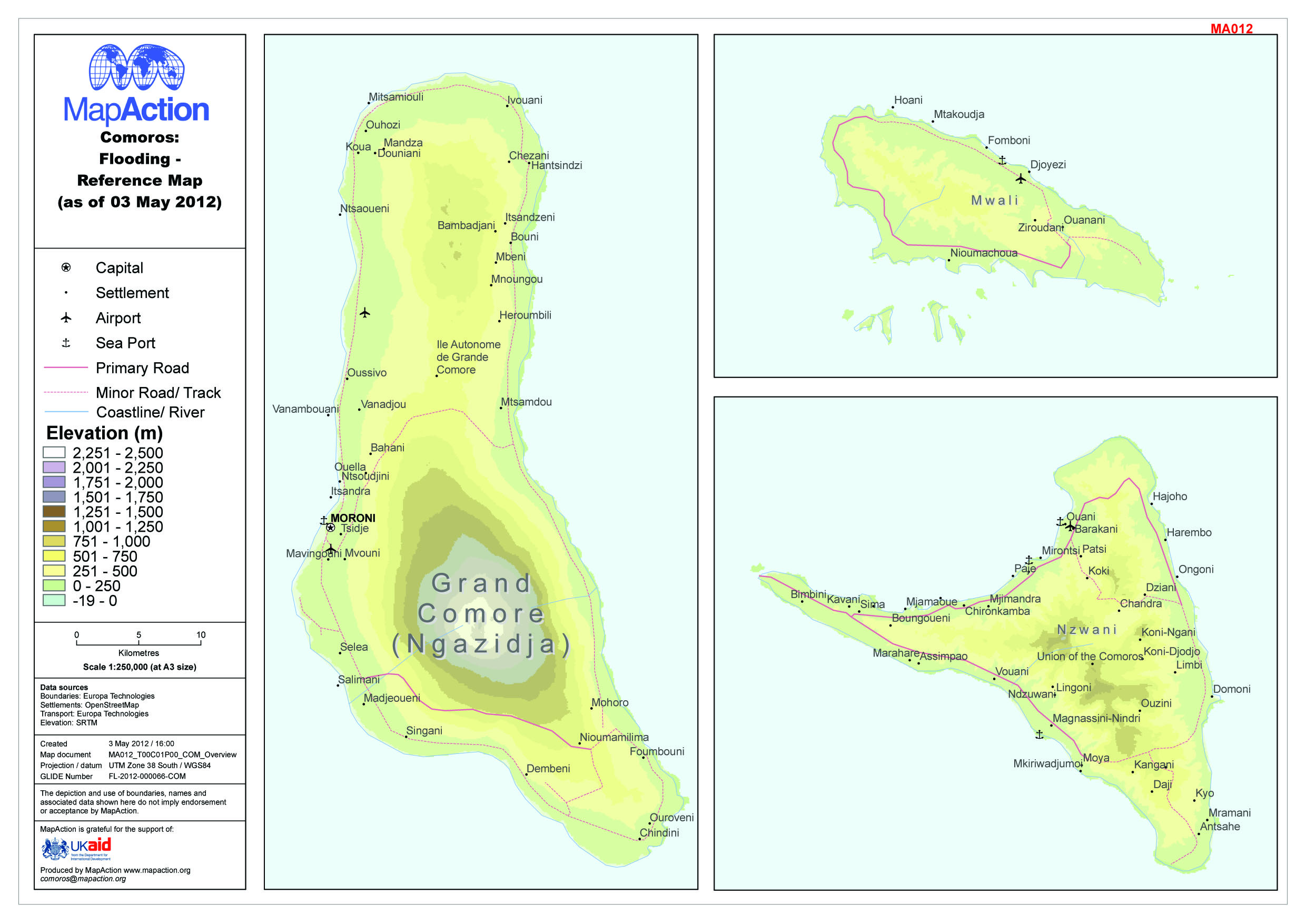
Reference map for Comoros islands (as of 3 May 2012)
Source: Comoros: Flooding - Reference Map (as of 03 May 2012)
Additional Information
| Field | Value |
|---|---|
| Data last updated | July 4, 2016 |
| Metadata last updated | July 4, 2016 |
| Created | July 4, 2016 |
| Format | JPEG |
| License | License not specified |
| Has views | True |
| Id | 0e4ef293-6793-4381-8aeb-e5e2168f2c51 |
| On same domain | True |
| Package id | c605716a-0437-464d-aef2-91db6661aed5 |
| Revision id | aaf0b152-c70f-426d-a1eb-f4bcfea3610a |
| State | active |
| Url type | upload |