MA013_Reference_Sahel_A3-v1-300dpi.jpg
From the dataset abstract
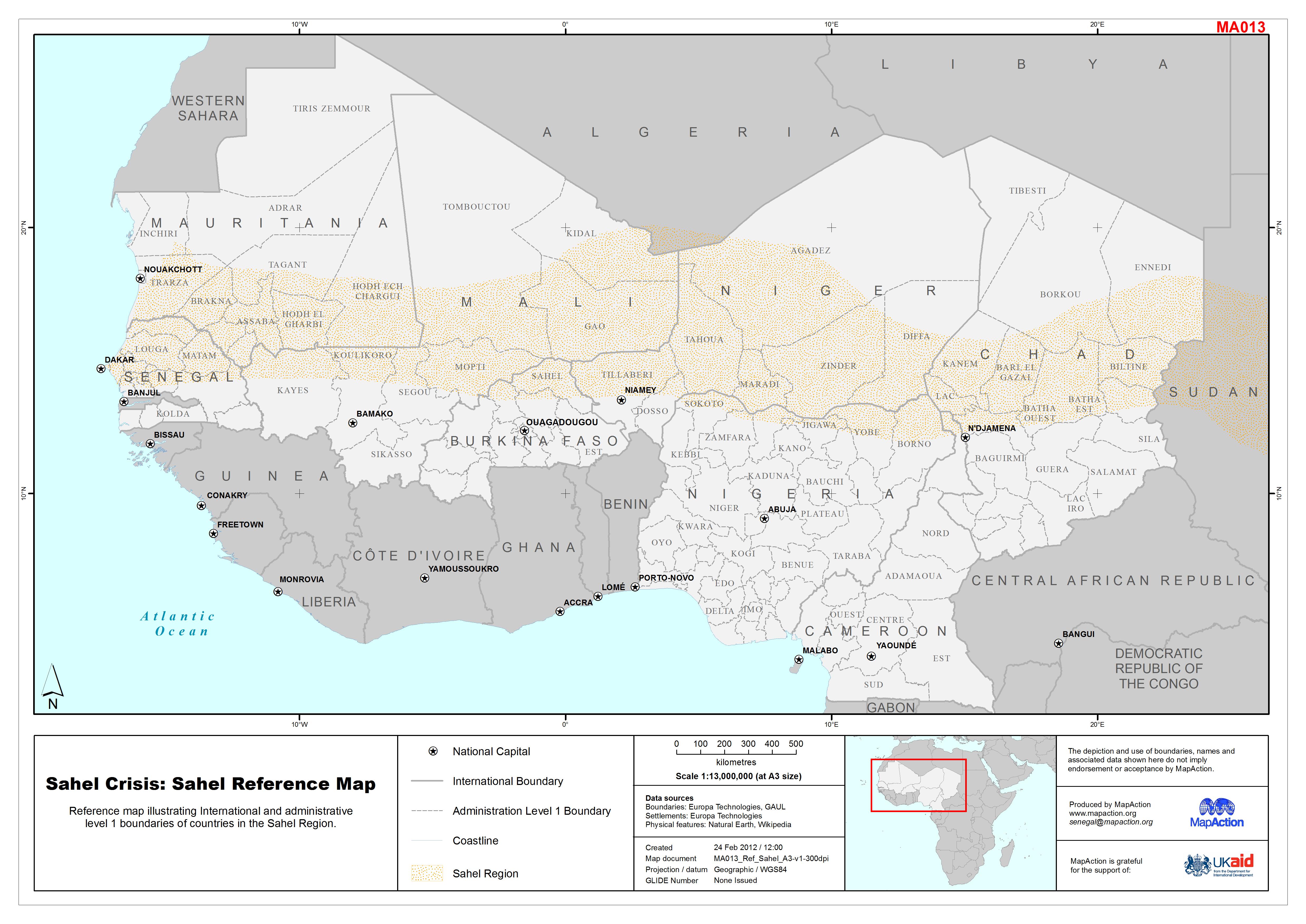
Reference map illustrating International and administrative level 1 boundaries of countries in the Sahel Region.
Additional Information
| Field | Value |
|---|---|
| Data last updated | July 4, 2016 |
| Metadata last updated | July 4, 2016 |
| Created | July 4, 2016 |
| Format | JPEG |
| License | License not specified |
| Has views | True |
| Id | 9303e23c-3a2c-4087-a700-da407cf5572f |
| On same domain | True |
| Package id | 49987306-6a71-4133-934a-94c706733f44 |
| Revision id | a1715104-85d3-4582-827c-0dbfcc1387e5 |
| State | active |
| Url type | upload |