MA003_Administration-Mali-A3-v1-300dpi.jpg
From the dataset abstract
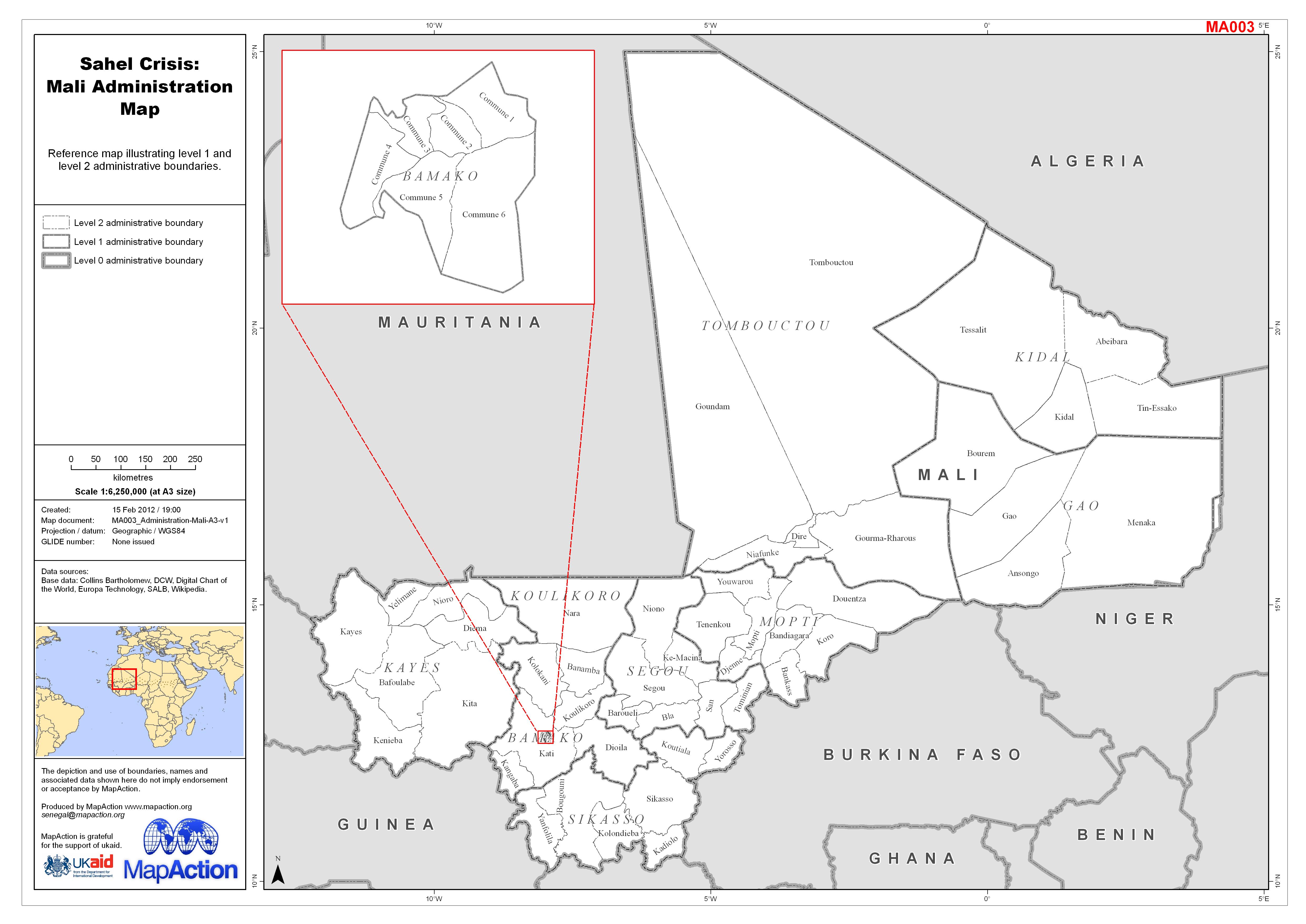
Reference map illustrating level 1 and level 2 administrative boundaries.
Additional Information
| Field | Value |
|---|---|
| Data last updated | July 4, 2016 |
| Metadata last updated | July 4, 2016 |
| Created | July 4, 2016 |
| Format | JPEG |
| License | License not specified |
| Has views | True |
| Id | 71a6bf4e-6b15-407b-b54b-a6b9ad377e74 |
| On same domain | True |
| Package id | 303fbec3-f491-43fb-8f07-790d320747f8 |
| Revision id | 93b0dbe4-e806-40cc-b1fa-1ca352a99c09 |
| State | active |
| Url type | upload |