MA026_PHL_Shelter3W_A3_v1-200dpi.jpg
From the dataset abstract
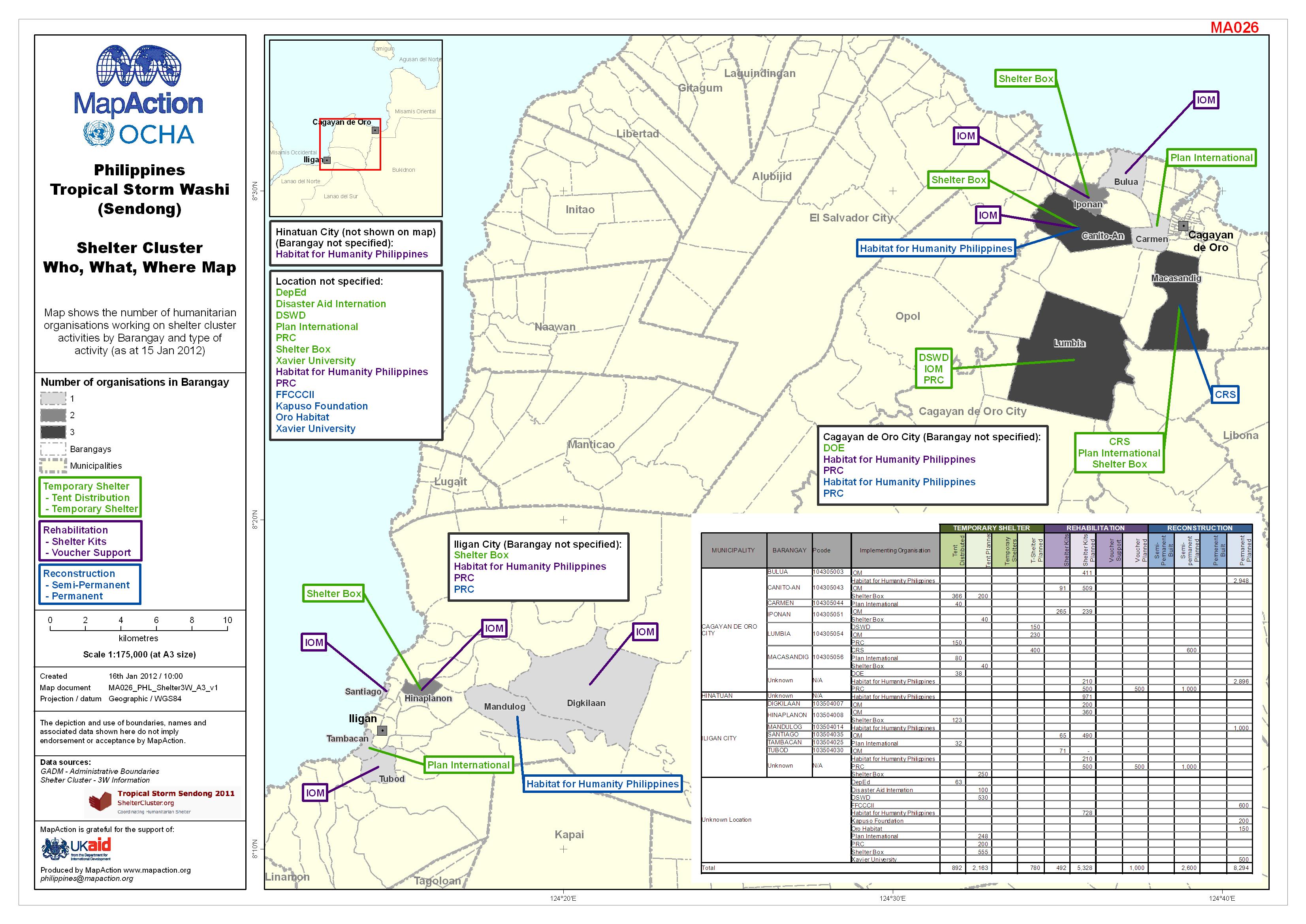
This map shows the number and location of humanitarian organisations working on shelter cluster activities by barangay and type of activity, as of 15 Jan 2012.
Source: Philippines Tropical Storm Washi (Sendong) Shelter Cluster Who, What, Where Map
Additional Information
| Field | Value |
|---|---|
| Data last updated | July 4, 2016 |
| Metadata last updated | July 4, 2016 |
| Created | July 4, 2016 |
| Format | JPEG |
| License | License not specified |
| Has views | True |
| Id | 221c4d21-6b15-425a-8943-d10cfd3ab4bc |
| On same domain | True |
| Package id | b4ea416e-18ad-4f8d-942c-a503878ce65b |
| Revision id | 0c74286d-0a39-40a5-a71d-6073335bb1bb |
| State | active |
| Url type | upload |