MA012-v01-mmr-affected_infra_roads-300dpi.jpg
From the dataset abstract
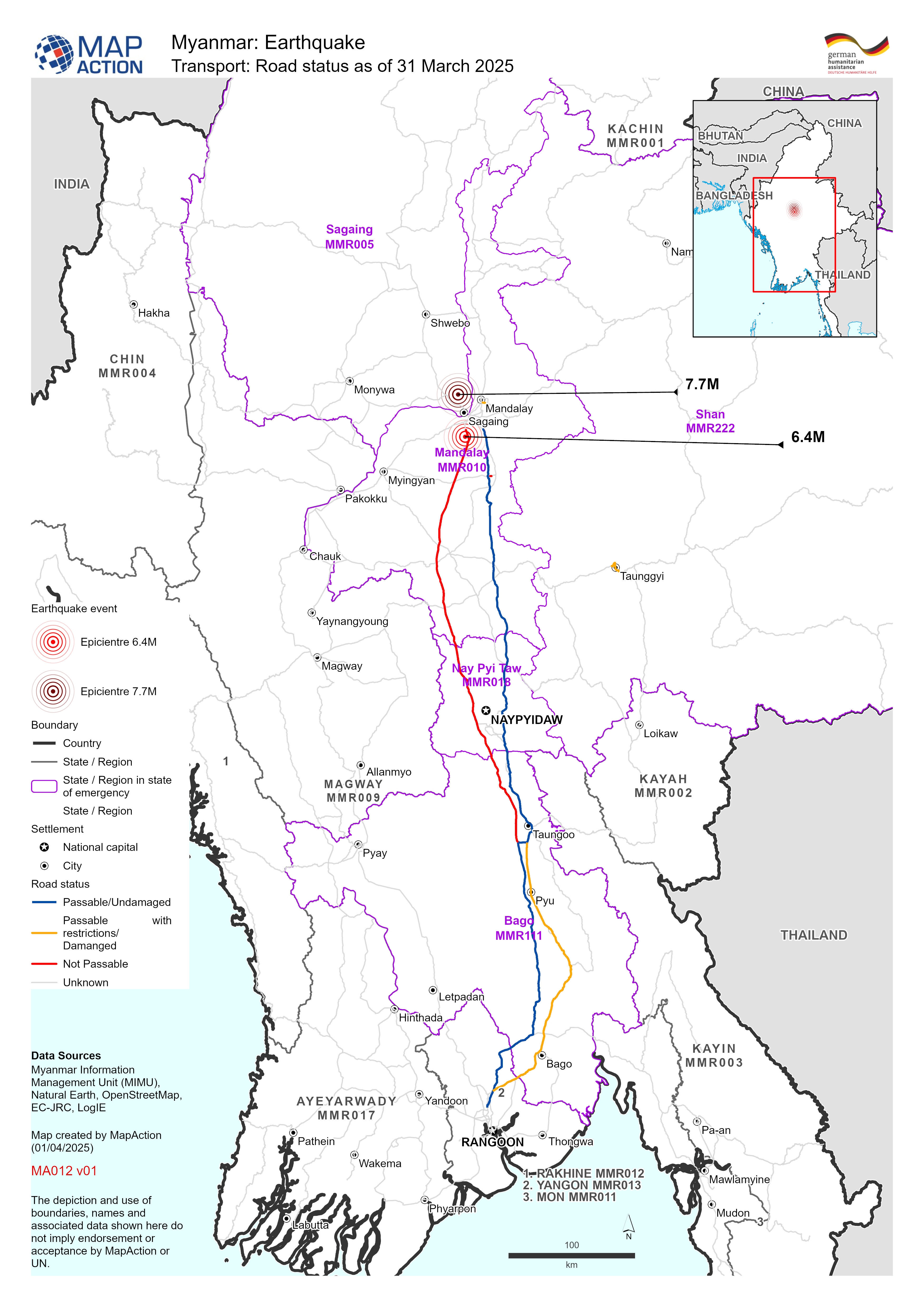
Map shows the road status (as of 31 March April 2025) with earthquake epicentres and affected State - Regions of Myanmar.
Additional Information
| Field | Value |
|---|---|
| Data last updated | April 3, 2025 |
| Metadata last updated | April 3, 2025 |
| Created | April 3, 2025 |
| Format | JPEG |
| License | License not specified |
| Has views | True |
| Id | 182b4636-c32c-4d8e-9a9d-952d6784223e |
| Mimetype | image/jpeg |
| On same domain | True |
| Package id | bf8ae467-0749-48a2-8f3c-d5aebf3dbb31 |
| Revision id | 97b387cb-f413-4dfb-8fe8-ffb907a819f4 |
| Size | 1.5 MiB |
| State | active |
| Url type | upload |