MA012-v01-vct-stormtrack-infrastructure-300dpi.jpg
From the dataset abstract
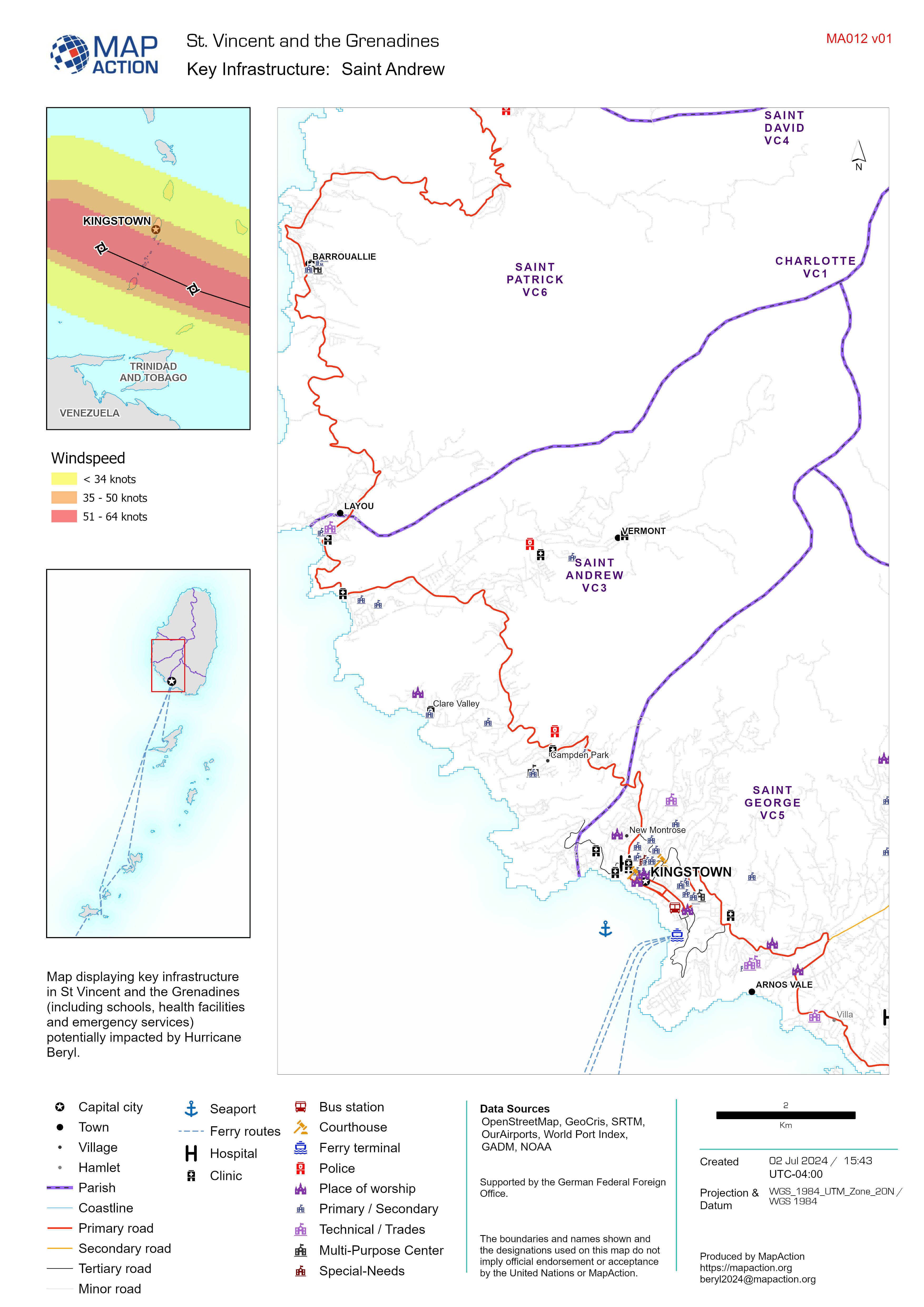
Map displaying key infrastructure in St Vincent and the Grenadines (including schools, health facilities and emergency services) potentially impacted by Hurricane Beryl.
Source: Key Infrastructure Map Atlas
Additional Information
| Field | Value |
|---|---|
| Data last updated | July 3, 2024 |
| Metadata last updated | July 3, 2024 |
| Created | July 3, 2024 |
| Format | JPEG |
| License | Creative Commons Attribution |
| Has views | True |
| Id | 737f6b69-c1c9-4ff9-a8a4-195b98af3be1 |
| Mimetype | image/jpeg |
| On same domain | True |
| Package id | f7bb9a28-db9d-42a2-9ed6-01092ea5739d |
| Position | 1 |
| Revision id | 5b33e5fc-dcfa-47ae-b225-ebe7baea1a7e |
| Size | 1.4 MiB |
| State | active |
| Url type | upload |