MA013-v01-mar-provinces-healthsites-atlas-300dp ...
From the dataset abstract
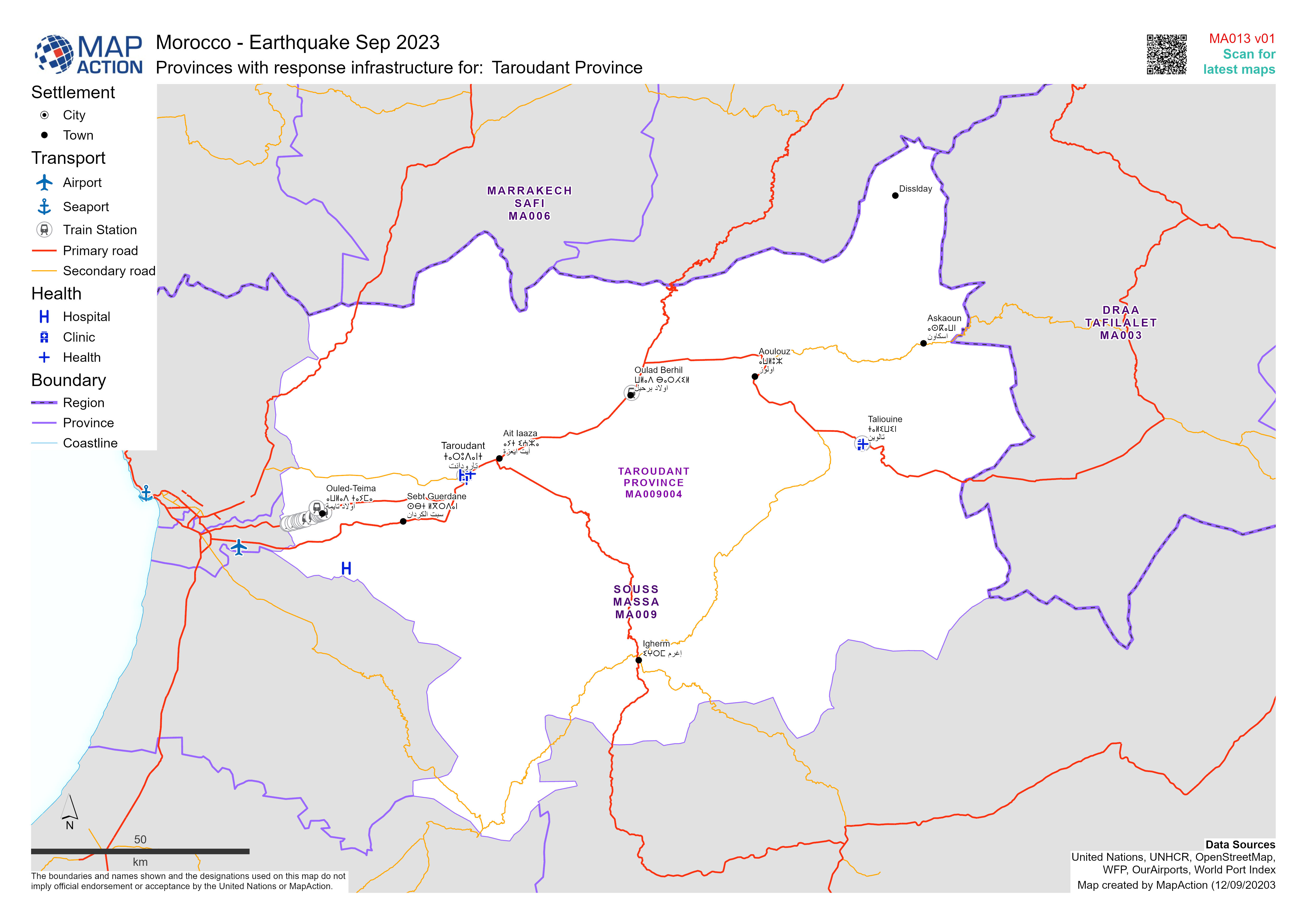
Maps of Morocco's affected Province / Prefectures showing administrative boundaries, main settlements and major transport infrastructure
Additional Information
| Field | Value |
|---|---|
| Data last updated | September 12, 2023 |
| Metadata last updated | September 12, 2023 |
| Created | September 12, 2023 |
| Format | JPEG |
| License | License not specified |
| Has views | True |
| Id | 600b1e72-2e12-479d-9e14-561947545f92 |
| Mimetype | image/jpeg |
| On same domain | True |
| Package id | 948dbaa6-b690-4f43-a999-e7917a37537e |
| Revision id | d65059b0-31bb-45b1-b817-5340d4b854df |
| Size | 1.2 MiB |
| State | active |
| Url type | upload |