MA014 - Critical Infrastructure_v01-300dpi.jpeg
From the dataset abstract
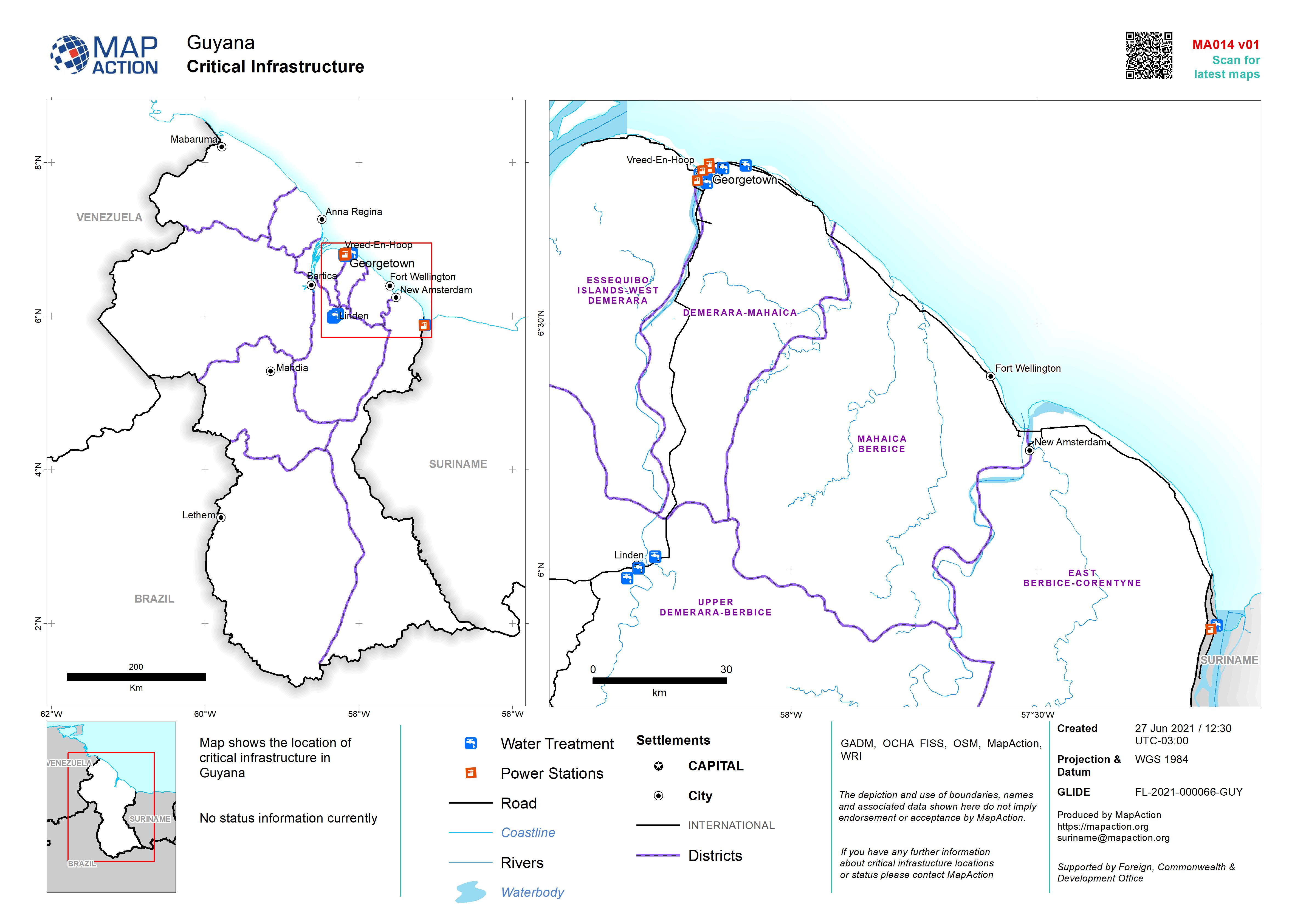
Map shows the location of critical infrastructure in Guyana. No status information currently received from field teams
Source: Critical Infrastructure
Additional Information
| Field | Value |
|---|---|
| Data last updated | June 27, 2021 |
| Metadata last updated | June 27, 2021 |
| Created | June 27, 2021 |
| Format | JPEG |
| License | License not specified |
| Has views | True |
| Id | 68f8319d-55d7-4c0b-9383-d58326fa9b93 |
| Mimetype | image/jpeg |
| On same domain | True |
| Package id | 320b93b3-dd6b-46b1-a426-449f9c7918ca |
| Revision id | dc874027-e1eb-47c5-8f77-e7959db8f08f |
| Size | 1 MiB |
| State | active |
| Url type | upload |