MA010 - PopulationDistribution_v01-300dpi.jpeg
From the dataset abstract
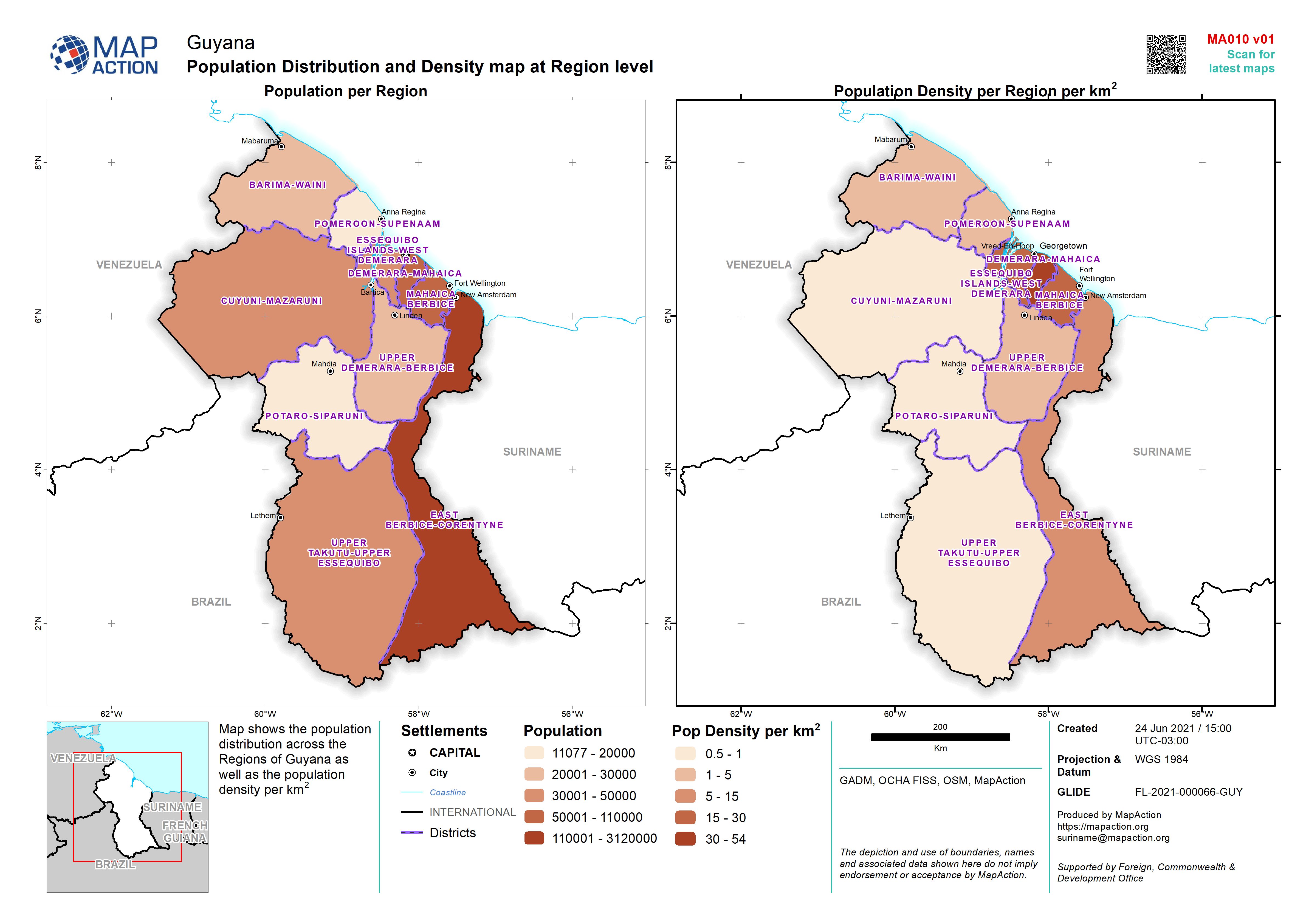
Map shows the population distribution across the Regions of Guyana as well as the population density per km2
Source: Population Distribution and Density map at Region level
Additional Information
| Field | Value |
|---|---|
| Data last updated | June 24, 2021 |
| Metadata last updated | June 24, 2021 |
| Created | June 24, 2021 |
| Format | JPEG |
| License | License not specified |
| Has views | True |
| Id | 2d2a9eaa-dce3-4f0b-a061-dd779da1032a |
| Mimetype | image/jpeg |
| On same domain | True |
| Package id | 6cce25db-25c3-4b58-aa4f-26c02c6360fb |
| Revision id | 57847e19-b817-4c44-b3cf-4fe5955c2b85 |
| Size | 1 MiB |
| State | active |
| Url type | upload |