MA009-Guatemala-Admin2-Population-IPC202010-Lan ...
From the dataset abstract
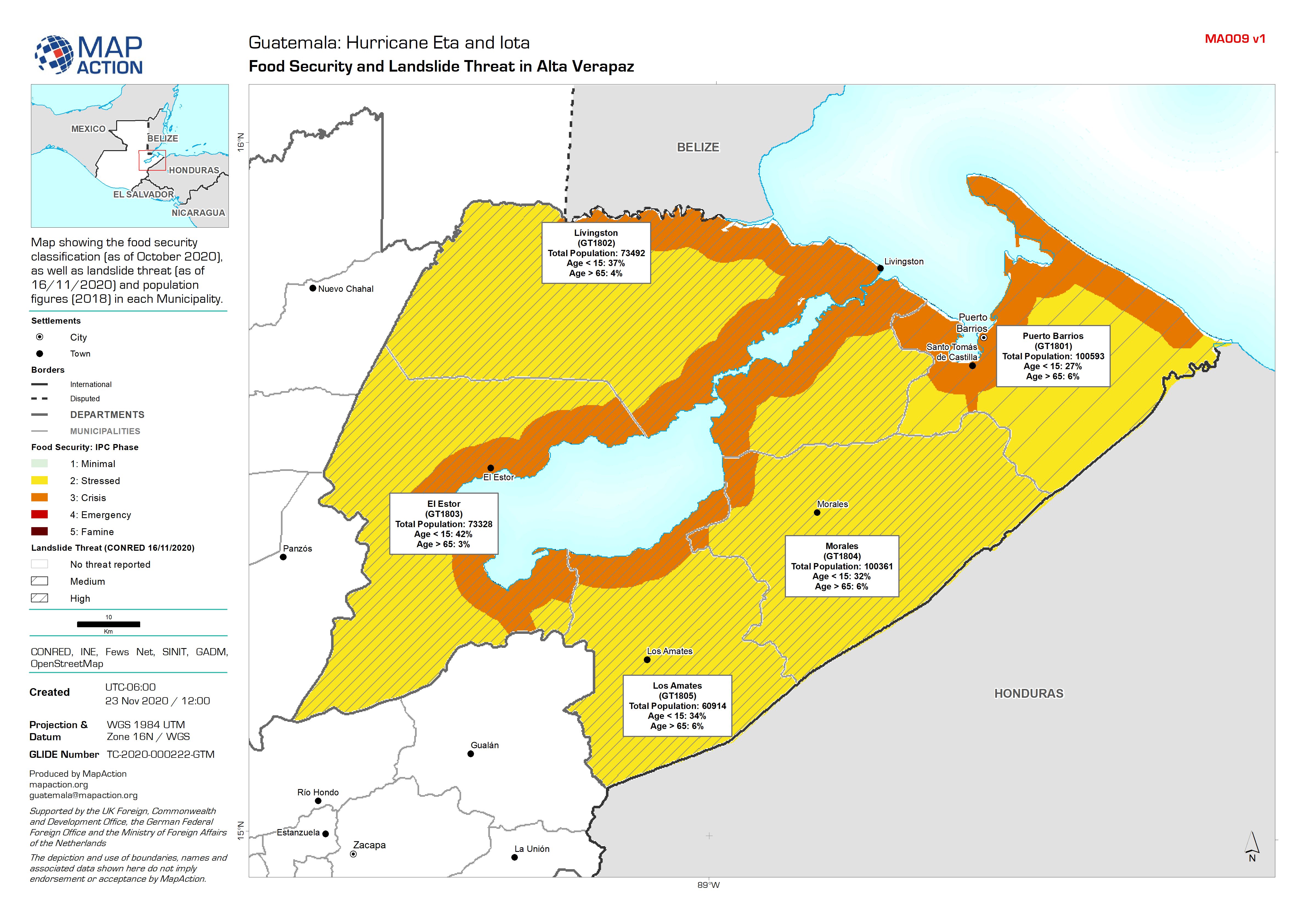
Map showing the food security classification (as of October 2020), as well as landslide threat (as of 16/11/2020) and population figures (2018) in each Municipality.
Source: Guatemala: Food Security and Landslide Threat in Alta Verapaz
Additional Information
| Field | Value |
|---|---|
| Data last updated | November 27, 2020 |
| Metadata last updated | November 27, 2020 |
| Created | November 27, 2020 |
| Format | JPEG |
| License | License not specified |
| Has views | True |
| Id | f897b158-f18d-484b-9a6f-c02c45bc2668 |
| Mimetype | image/jpeg |
| On same domain | True |
| Package id | 4a8209f8-cc7d-4c36-8128-930c6bdc2d75 |
| Revision id | 192a0315-cede-43c1-9be0-cab62ffac6ed |
| Size | 1.4 MiB |
| State | active |
| Url type | upload |