MA002-v01-Fiji-Admin-Overview-300dpi.jpeg
From the dataset abstract
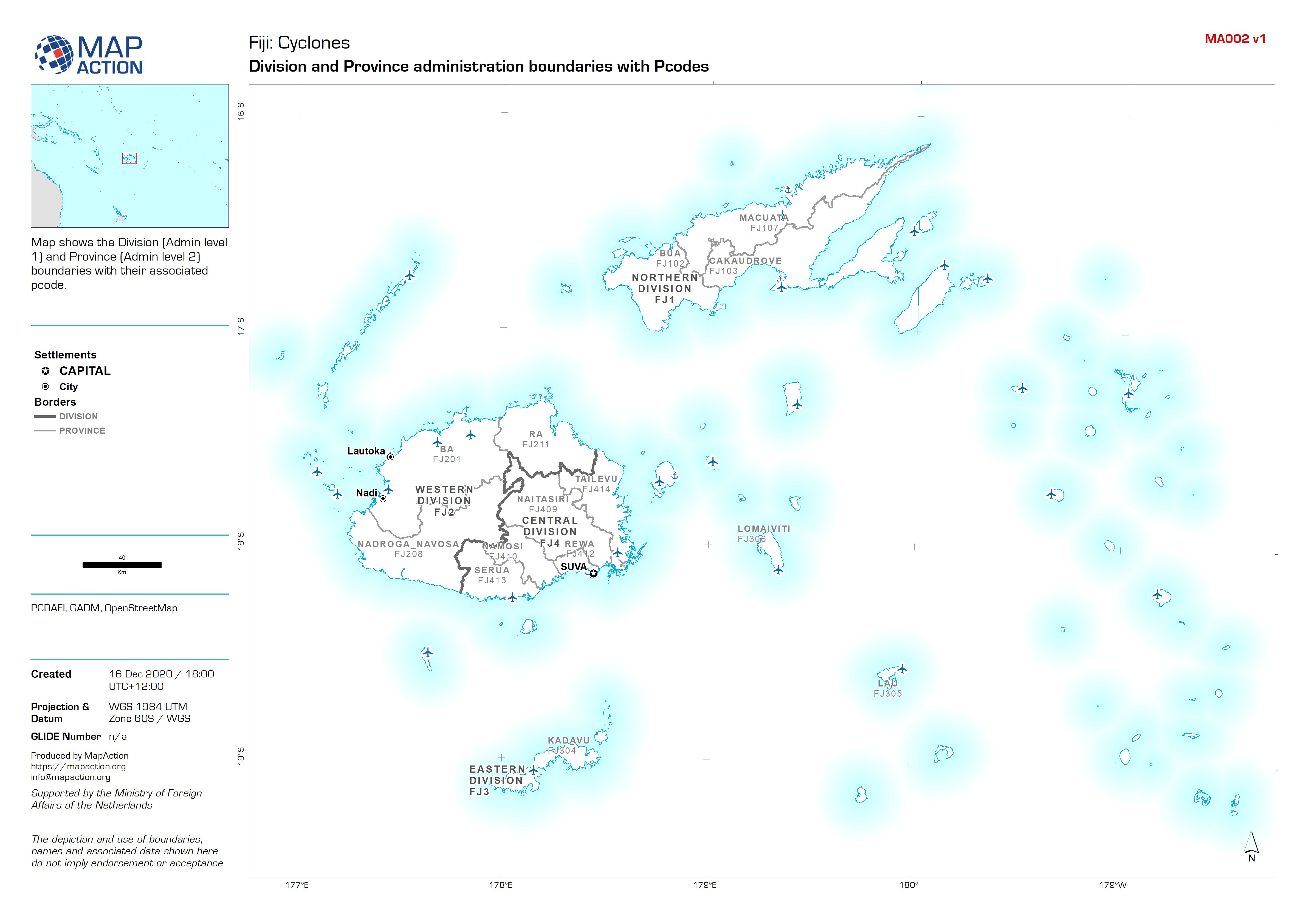
Map shows the Division (Admin level 1) and Province (Admin level 2) boundaries with their associated pcode.
Source: Fiji: Division and Province administration boundaries with Pcodes
Additional Information
| Field | Value |
|---|---|
| Data last updated | December 16, 2020 |
| Metadata last updated | December 16, 2020 |
| Created | December 16, 2020 |
| Format | JPEG |
| License | License not specified |
| Has views | True |
| Id | 2fb35ec5-0af9-44ff-8169-d74b3f26b866 |
| Mimetype | image/jpeg |
| On same domain | True |
| Package id | d5410ba0-6ac0-4d36-977c-65857349b165 |
| Revision id | 68662616-287e-4e77-a8dd-ab1d3f4eacd0 |
| Size | 802.6 KiB |
| State | active |
| Url type | upload |