MA809_OCHA_HND_Affd_PMA_pop-300dpi.jpeg
From the dataset abstract
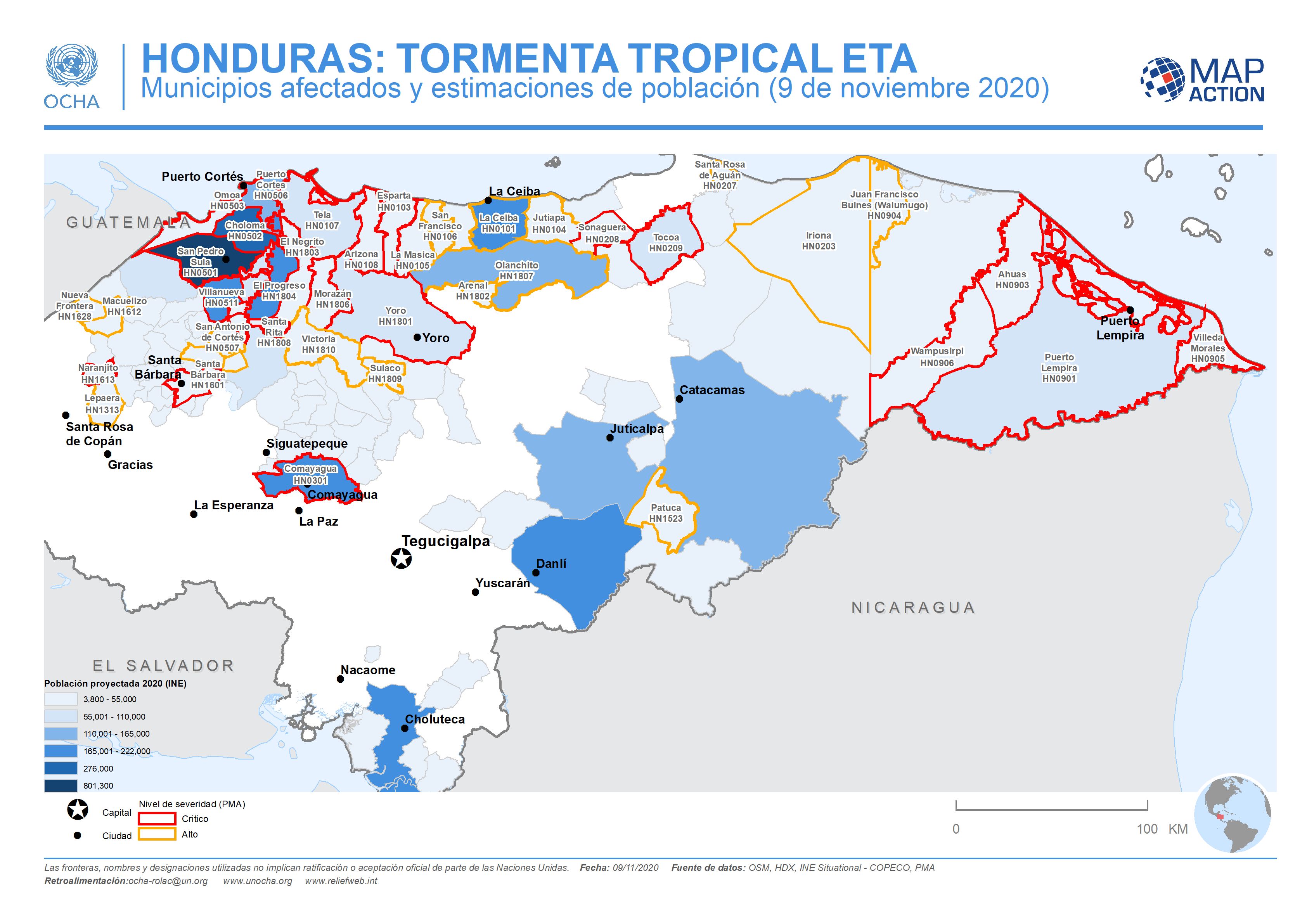
This map shows the affected administration level 2 municipalities for Honduras, with projected population 2020 (INE) and the level of severity (critical or high) for affected...
Source: Honduras: Municipios afectados y estimaciones de población (9 de noviembre 2020)
Additional Information
| Field | Value |
|---|---|
| Data last updated | November 10, 2020 |
| Metadata last updated | November 10, 2020 |
| Created | November 10, 2020 |
| Format | JPEG |
| License | License not specified |
| Has views | True |
| Id | d5e0eea0-147c-483f-a898-23d8ea67db52 |
| Mimetype | image/jpeg |
| On same domain | True |
| Package id | c52b0288-96d5-4ef8-b2f0-6d4d54efa432 |
| Revision id | 5103244a-11f8-4fca-9f25-5cbe92221ae2 |
| Size | 704.7 KiB |
| State | active |
| Url type | upload |