giaj_topographic_sheet_584124_kesennuma.jpg
From the dataset abstract
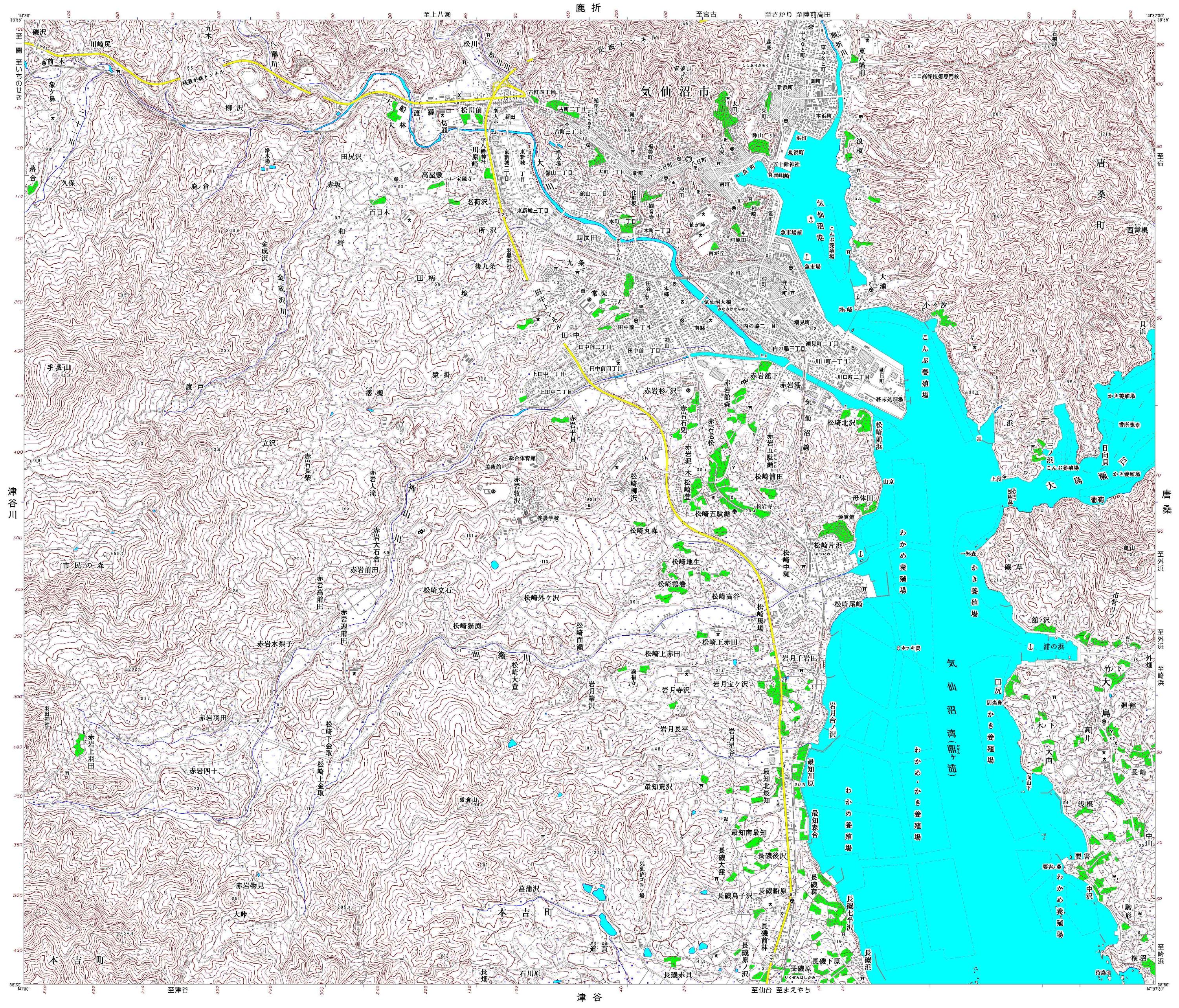
Detailed topographic mapping, scale 1:25,000. Each sheet covers approximately 11 x 9 km. For use only in disaster relief activities, by kind permission of Geospatial Information Authority...
Source: Japan Earthquake: 1:25,000 Topographic Sheet 584124 Kesennuma
Additional Information
| Field | Value |
|---|---|
| Data last updated | July 4, 2016 |
| Metadata last updated | July 4, 2016 |
| Created | July 4, 2016 |
| Format | JPEG |
| License | License not specified |
| Has views | True |
| Id | 7f608ca5-0fe3-4df0-b74a-39376009fe3f |
| On same domain | True |
| Package id | a0188ac5-5128-490a-816b-6ff8504938da |
| Revision id | 63cd53fa-c396-4143-952d-179402523532 |
| State | active |
| Url type | upload |