MA016E-LCA-TransportSectorDamage_MapBook-A3-v01 ...
From the dataset abstract
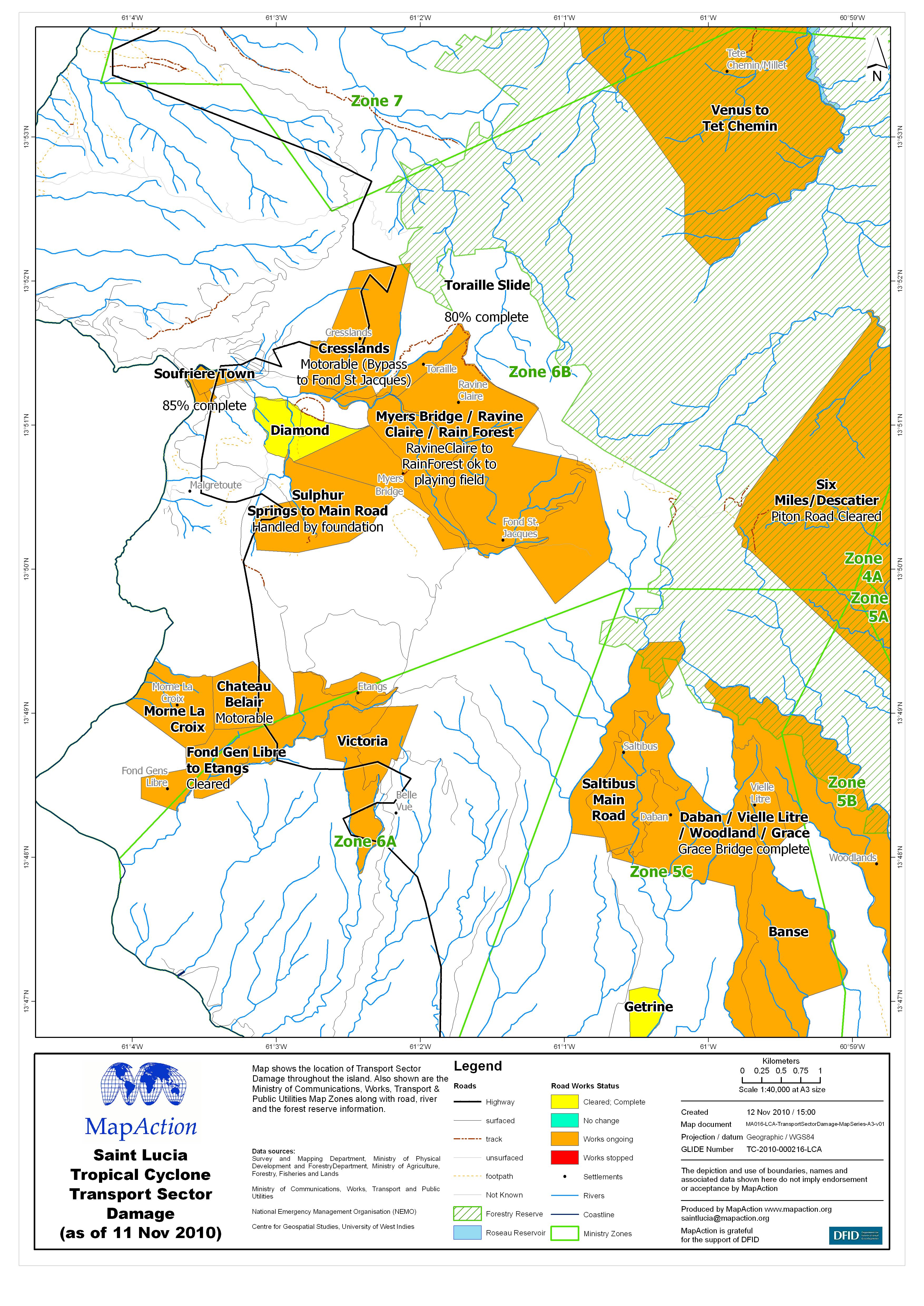
Map shows the location of Transport Sector Damage throughout the island. Also shown are the Ministry of Communications, Works, Transport & Public Utilities Map Zones along with road,...
Source: Saint Lucia Tropical Cyclone Transport Sector Damage (as of 11 Nov 2010) - Map MA016E
Additional Information
| Field | Value |
|---|---|
| Data last updated | July 4, 2016 |
| Metadata last updated | July 4, 2016 |
| Created | July 4, 2016 |
| Format | JPEG |
| License | License not specified |
| Has views | True |
| Id | 8f23710d-dc31-418b-a614-eedc94e9ba2a |
| On same domain | True |
| Package id | 3fbec329-d3a0-4ae1-9202-a30014b63773 |
| Revision id | 628a6086-6863-42d8-ad53-4795f2b6d913 |
| State | active |
| Url type | upload |