MA016B-LCA-TransportSectorDamage_MapBook-A3-v01 ...
From the dataset abstract
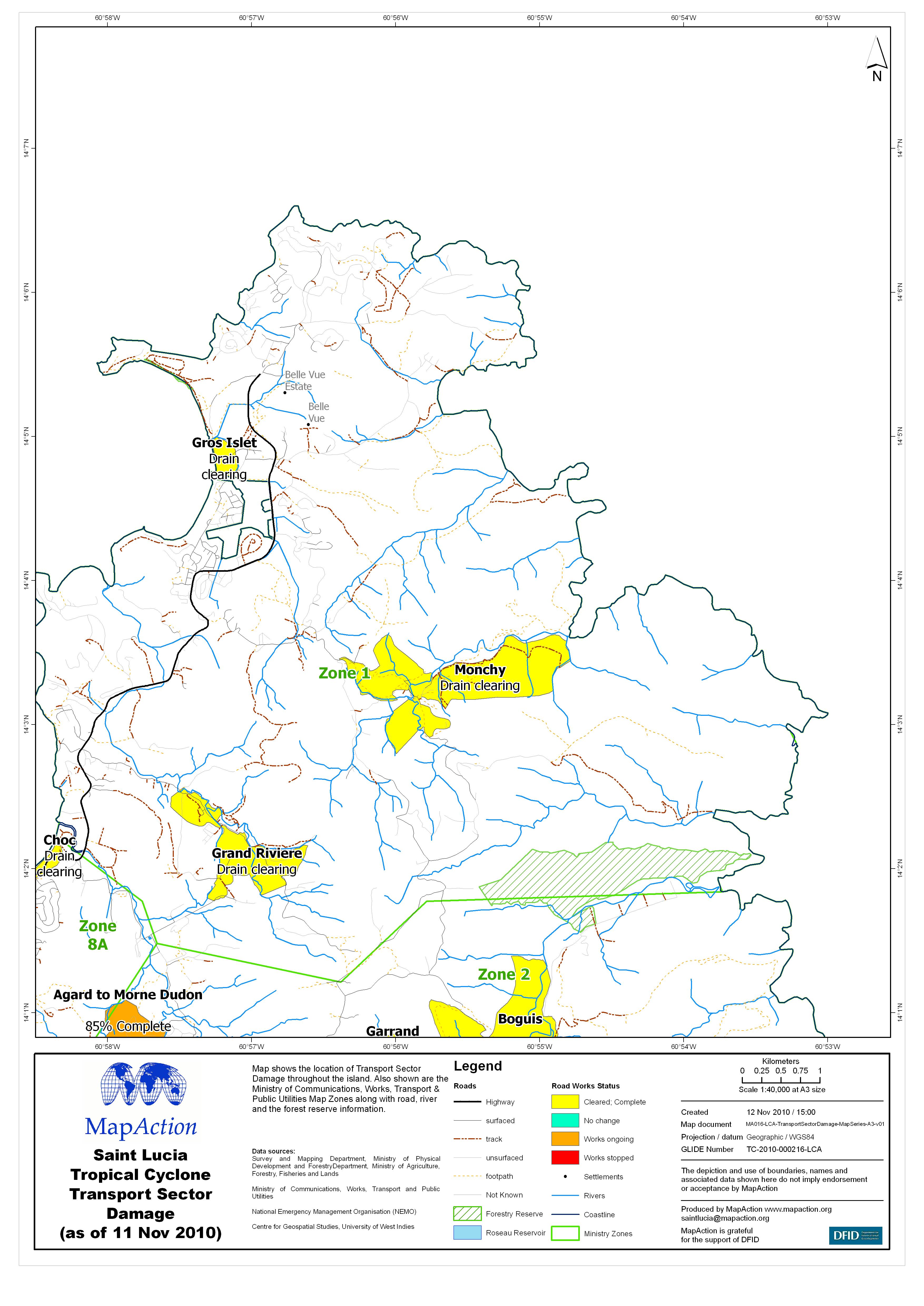
Map shows the location of Transport Sector Damage throughout the island. Also shown are the Ministry of Communications, Works, Transport & Public Utilities Map Zones along with road,...
Source: Saint Lucia Tropical Cyclone Transport Sector Damage (as of 11 Nov 2010) - Map MA016B
Additional Information
| Field | Value |
|---|---|
| Data last updated | July 4, 2016 |
| Metadata last updated | July 4, 2016 |
| Created | July 4, 2016 |
| Format | JPEG |
| License | License not specified |
| Has views | True |
| Id | 89bf50cf-41c6-48c3-978a-6b612fc8a562 |
| On same domain | True |
| Package id | c37b4e66-b2ac-44ce-a929-f3dd87e5a25a |
| Revision id | 798fcedd-b3eb-4e65-b972-bc51c17ecd82 |
| State | active |
| Url type | upload |