PAK335_Pakistan_Floods_Sindh_Overview_v2_A0_310 ...
From the dataset abstract
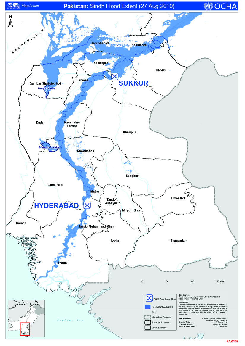
Map shows OCHA hubs in Sindh province complete with districts and flood extents as of 27 August 2010
Additional Information
| Field | Value |
|---|---|
| Data last updated | July 4, 2016 |
| Metadata last updated | July 4, 2016 |
| Created | July 4, 2016 |
| Format | JPEG |
| License | License not specified |
| Has views | True |
| Id | c4faaa6f-a5ea-4581-b83e-3799d56bd2b8 |
| On same domain | True |
| Package id | 27a0b111-209d-4c36-8af4-d036be07de5d |
| Revision id | 66793890-f4c0-46c4-a8f5-dca6cca20380 |
| State | active |
| Url type | upload |