SAFER_A1_Mapsheet_Overview-Map_T72_V2_75pc.jpg
From the dataset abstract
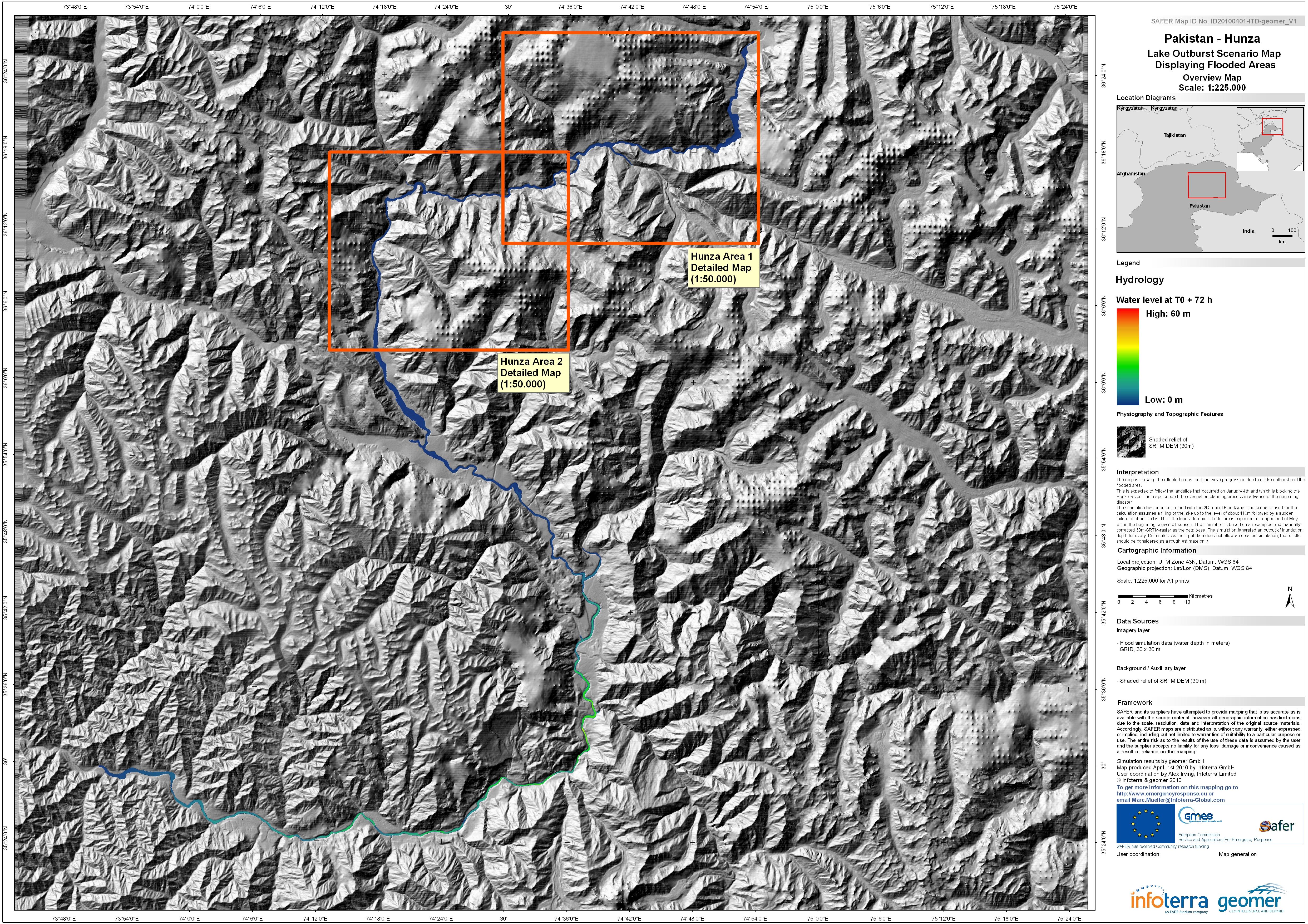
The map indicates possible water depth, in metres, in the event of a catastrophic failure of the landslide dam formed in the Hunza river valley in early January 2010. It is one of a...
Source: Pakistan - Hunza: Lake Outburst Scenario, Overview, Time T0+72hours
Additional Information
| Field | Value |
|---|---|
| Data last updated | July 4, 2016 |
| Metadata last updated | July 4, 2016 |
| Created | July 4, 2016 |
| Format | JPEG |
| License | License not specified |
| Has views | True |
| Id | 20b14036-c163-469d-a9fa-2caa1851fe5c |
| On same domain | True |
| Package id | db9e49c1-57bb-4d8e-88b4-b9e4fbe2d657 |
| Revision id | ef9a313c-6686-4ac6-9293-0c752a170c7c |
| State | active |
| Url type | upload |